14211 E Hawaii Cir Unit D Aurora, CO 80012
Sable Ridge NeighborhoodEstimated Value: $262,364 - $279,000
About This Home
This home is located at 14211 E Hawaii Cir Unit D, Aurora, CO 80012 and is currently estimated at $273,841, approximately $264 per square foot. 14211 E Hawaii Cir Unit D is a home located in Arapahoe County with nearby schools including Jewell Elementary School, Aurora Hills Middle School, and Gateway High School.
Ownership History
We collect this data history from publicly available records. To have your information removed, we recommend requesting removal directly through your county’s website.
Purchase Details
Purchase Details
Purchase Details
Purchase Details
Purchase Details
Home Values in the Area
Average Home Value in this Area
Purchase History
We collect this data history from publicly available records. To have your information removed, we recommend requesting removal directly through your county’s website.
| Date | Buyer | Sale Price | Title Company |
|---|---|---|---|
| -- | -- | ||
| -- | -- | ||
| -- | -- | ||
| -- | -- | ||
| -- | -- |
Tax History
We collect this data history from publicly available records. To have your information removed, we recommend requesting removal directly through your county’s website.
| Year | Tax Paid | Tax Assessment Tax Assessment Total Assessment is a certain percentage of the fair market value that is determined by local assessors to be the total taxable value of land and additions on the property. | Land | Improvement |
|---|---|---|---|---|
| 2025 | $1,615 | $18,469 | -- | -- |
| 2024 | $1,567 | $16,857 | -- | -- |
| 2023 | $1,567 | $16,857 | $0 | $0 |
| 2022 | $1,493 | $14,873 | $0 | $0 |
| 2021 | $1,542 | $14,873 | $0 | $0 |
| 2020 | $1,607 | $15,430 | $0 | $0 |
| 2019 | $1,598 | $15,430 | $0 | $0 |
| 2018 | $1,216 | $11,498 | $0 | $0 |
| 2017 | $1,058 | $11,498 | $0 | $0 |
| 2016 | $790 | $8,406 | $0 | $0 |
| 2015 | $762 | $8,406 | $0 | $0 |
| 2014 | -- | $4,744 | $0 | $0 |
| 2013 | -- | $5,040 | $0 | $0 |
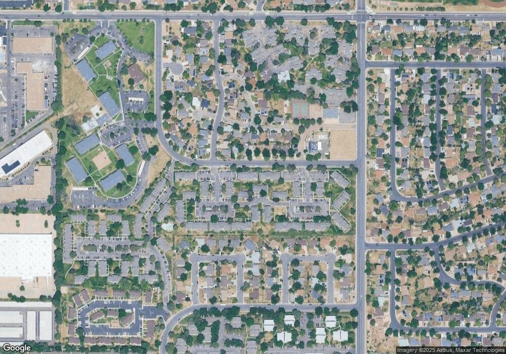
Map
- 14201 E Hawaii Cir Unit B
- 14292 E Hawaii Cir Unit D
- 1662 S Blackhawk Way Unit C
- 1653 S Blackhawk Way Unit B
- 14486 E Hawaii Cir Unit B
- 14416 E Hawaii Cir Unit D
- 1551 S Dawson St
- 1731 S Blackhawk Way Unit D
- 14404 E Colorado Dr Unit 204
- 1685 S Blackhawk Way Unit B
- 14498 E Florida Ave Unit B
- 14142 E Colorado Dr Unit 101
- 14434 E Colorado Dr Unit 101
- 14453 E Jewell Ave Unit 104
- 14141 E Jewell Ave Unit 103
- 13958 E Idaho Dr
- 14005 E Utah Cir Unit 3
- 14034 E Utah Cir Unit 5
- 14111 E Jewell Ave Unit 102
- 14493 E Jewell Ave Unit 102
- 14211 E Hawaii Cir Unit C
- 14211 E Hawaii Cir Unit B
- 14211 E Hawaii Cir Unit A
- 14201 E Hawaii Cir Unit D
- 14201 E Hawaii Cir Unit C
- 14201 E Hawaii Cir Unit A
- 14485 E Hawaii Cir Unit D
- 14485 E Hawaii Cir Unit C
- 14485 E Hawaii Cir Unit B
- 14485 E Hawaii Cir Unit A
- 14485 E Hawaii Cir
- 14221 E Hawaii Cir Unit A
- 14221 E Hawaii Cir Unit B
- 14221 E Hawaii Cir Unit C
- 14221 E Hawaii Cir Unit D
- 14221 E Hawaii Cir Unit E
- 14221 E Hawaii Cir Unit F
- 14333 E Hawaii Cir
- 14333 E Hawaii Cir Unit A
- 14333 E Hawaii Cir Unit B
Ask me questions while you tour the home.