Estimated Value: $456,000 - $542,027
4
Beds
3
Baths
2,837
Sq Ft
$175/Sq Ft
Est. Value
About This Home
This home is located at 14294 W Gore Blvd, Cache, OK 73527 and is currently estimated at $495,757, approximately $174 per square foot. 14294 W Gore Blvd is a home located in Comanche County with nearby schools including Cache Primary Elementary School, Cache Intermediate Elementary School, and Cache Middle School.
Ownership History
Date
Name
Owned For
Owner Type
Purchase Details
Closed on
Mar 23, 2022
Sold by
Harrison Cabrina C and Harrison Thomas D
Bought by
Anderson Michael J and Anderson Melinda F
Current Estimated Value
Home Financials for this Owner
Home Financials are based on the most recent Mortgage that was taken out on this home.
Original Mortgage
$450,120
Outstanding Balance
$421,678
Interest Rate
4.16%
Mortgage Type
VA
Estimated Equity
$74,079
Purchase Details
Closed on
Jan 22, 2013
Sold by
Alvarez Cesar R
Bought by
Alvarez Cabrina C
Create a Home Valuation Report for This Property
The Home Valuation Report is an in-depth analysis detailing your home's value as well as a comparison with similar homes in the area
Purchase History
| Date | Buyer | Sale Price | Title Company |
|---|---|---|---|
| Anderson Michael J | $445,000 | None Listed On Document | |
| Alvarez Cabrina C | -- | None Available |
Source: Public Records
Mortgage History
| Date | Status | Borrower | Loan Amount |
|---|---|---|---|
| Open | Anderson Michael J | $450,120 |
Source: Public Records
Tax History
| Year | Tax Paid | Tax Assessment Tax Assessment Total Assessment is a certain percentage of the fair market value that is determined by local assessors to be the total taxable value of land and additions on the property. | Land | Improvement |
|---|---|---|---|---|
| 2025 | -- | $44,924 | $120 | $44,804 |
| 2024 | -- | $43,779 | $120 | $43,659 |
| 2023 | $0 | $43,779 | $120 | $43,659 |
| 2022 | $3,473 | $31,862 | $70 | $31,792 |
| 2021 | $2,836 | $31,436 | $94 | $31,342 |
| 2020 | $3,198 | $32,537 | $94 | $32,443 |
| 2019 | $3,216 | $32,537 | $94 | $32,443 |
| 2018 | $3,281 | $32,802 | $93 | $32,709 |
| 2017 | $3,376 | $34,806 | $93 | $34,713 |
| 2016 | $3,267 | $34,281 | $93 | $34,188 |
| 2015 | $3,260 | $34,281 | $93 | $34,188 |
| 2014 | $3,148 | $33,578 | $125 | $33,453 |
Source: Public Records
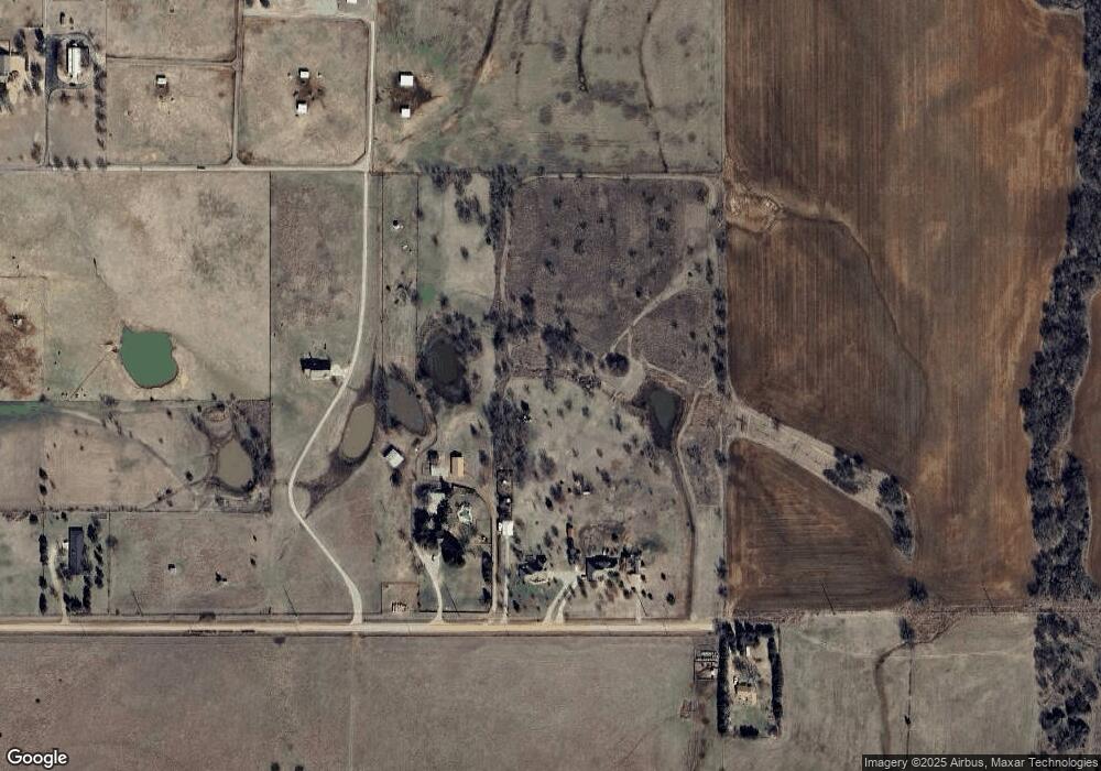
Map
Nearby Homes
- 357 SW Matthey Dr
- 14469 SW Lee Blvd
- 12400 NW Pecan Creek Dr
- 651 SW Eden Place
- 501 NW Spring Creek Rd
- 713 Meadow Ln
- 22 NW Valleybrook Dr
- 168 SW Crater Creek Rd
- Pecan Valley Orchard
- 16 NW Winding Creek Rd
- 114 NW Sandy Trail Cir
- 206 Meadowland
- 207 & 1/2 N Crater Creek Rd
- 817 Hummingbird Dr
- 17168 W Gore Blvd
- 12 NW Valley Ridge Dr
- 11 NW Forest Place
- 209 E B Ave
- 11 NW Deer Run Trail
- 1 NW Bent Tree Cir
- 14294 W Gore Blvd
- 14201 W Gore Blvd
- 14334 W Gore Blvd
- 14362 W Gore Blvd
- 14406 W Gore Blvd
- 14564 W Gore Blvd
- 14660 W Gore Blvd
- 110 NW Paint Rd
- 154 NW Paint Rd
- 123 NW Paint Rd
- 123 NW Paint Rd
- 353 SW Red Elk Rd
- 246 NW Paint Rd
- 370 NW Paint Rd
- 243 NW Paint Rd
- 251 SW Matthey Dr
- 165 SW Matthey Dr
- 205 SW Matthey Dr
- 51 SW Matthey Dr
- 329 NW Paint Rd
Your Personal Tour Guide
Ask me questions while you tour the home.