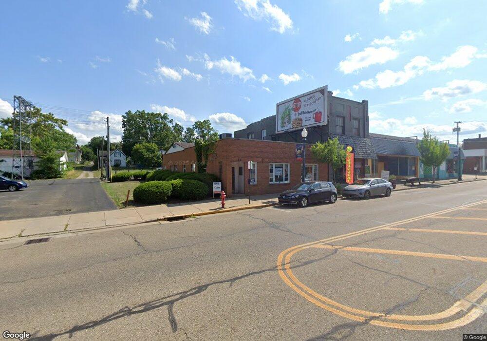
143 E Main St Alliance, OH 44601
Estimated Value: $109,756
Studio
2
Baths
2,275
Sq Ft
$48/Sq Ft
Est. Value
About This Home
This home is located at 143 E Main St, Alliance, OH 44601 and is currently estimated at $109,756, approximately $48 per square foot. 143 E Main St is a home located in Stark County with nearby schools including Alliance Intermediate School at Northside, Alliance Elementary School at Rockhill, and Alliance Middle School.
Ownership History
Date
Name
Owned For
Owner Type
Purchase Details
Closed on
Jan 8, 2025
Sold by
Castro Brenda
Bought by
143 E Main Llc
Current Estimated Value
Purchase Details
Closed on
Nov 15, 2024
Sold by
Bunn Bruce M
Bought by
Castro Brenda
Purchase Details
Closed on
Oct 28, 2004
Sold by
Estate Of B Bunn
Bought by
Bunn Bruce M
Create a Home Valuation Report for This Property
The Home Valuation Report is an in-depth analysis detailing your home's value as well as a comparison with similar homes in the area
Home Values in the Area
Average Home Value in this Area
Purchase History
| Date | Buyer | Sale Price | Title Company |
|---|---|---|---|
| 143 E Main Llc | -- | None Listed On Document | |
| 143 E Main Llc | -- | None Listed On Document | |
| Castro Brenda | $107,000 | None Listed On Document | |
| Castro Brenda | $107,000 | None Listed On Document | |
| Bunn Bruce M | -- | -- |
Source: Public Records
Tax History
| Year | Tax Paid | Tax Assessment Tax Assessment Total Assessment is a certain percentage of the fair market value that is determined by local assessors to be the total taxable value of land and additions on the property. | Land | Improvement |
|---|---|---|---|---|
| 2025 | $595 | $35,040 | $2,630 | $32,410 |
| 2024 | -- | $25,770 | $2,840 | $22,930 |
| 2023 | $1,241 | $23,420 | $2,590 | $20,830 |
| 2022 | $1,253 | $23,420 | $2,590 | $20,830 |
| 2021 | $1,247 | $23,420 | $2,590 | $20,830 |
| 2020 | $1,281 | $22,300 | $2,450 | $19,850 |
| 2019 | $1,250 | $22,300 | $2,450 | $19,850 |
Source: Public Records
Map
Nearby Homes
- 62 E Market St
- 361 E Main St
- 427 S Union Ave
- 171 1/2 W Main St
- 163 W Market St
- 505 N Union Ave
- V/L S Freedom Ave
- 710 N Freedom Ave
- 33 S Lincoln Ave
- 228 W Oxford St
- 442 S Liberty Ave
- 726 S Arch Ave
- 452 E Summit St
- 118 S Mckinley Ave
- 343 W Columbia St
- 233 W Cambridge St
- 621 S Haines Ave
- 847 E Patterson St
- 319 W Oxford St
- 807 S Union Ave
- 131 E Main St
- 127 E Main St
- 123 E Main St
- 117 - 121 E Main St
- 117 E Main St
- 111 E Main St
- 172 E Main St
- 158 E Main St
- 7 Parkmont
- 114 E Main St
- 9999 S Mechanic Ave
- 9999 S Mechanic Ave
- 155 E Market St
- 68 E Main St Unit 6
- 68 E Main St Unit 4
- 68 E Main St Unit 1
- 68 E Main St Unit 5
- 68 E Main St Unit 3
- 68 E Main St Unit 2
- 66 E Main St
Your Personal Tour Guide
Ask me questions while you tour the home.