143 S 920 E American Fork, UT 84003
Estimated Value: $427,000 - $454,000
4
Beds
4
Baths
2,430
Sq Ft
$181/Sq Ft
Est. Value
About This Home
This home is located at 143 S 920 E, American Fork, UT 84003 and is currently estimated at $439,330, approximately $180 per square foot. 143 S 920 E is a home located in Utah County with nearby schools including Barratt Elementary School, American Fork Junior High School, and American Fork High School.
Ownership History
Date
Name
Owned For
Owner Type
Purchase Details
Closed on
Oct 7, 2016
Sold by
Nielsen Michale C and Nielsen Josephine V
Bought by
Nilsen Michael C and Nilsen Josephine V
Current Estimated Value
Home Financials for this Owner
Home Financials are based on the most recent Mortgage that was taken out on this home.
Original Mortgage
$208,000
Outstanding Balance
$166,592
Interest Rate
3.43%
Mortgage Type
New Conventional
Estimated Equity
$272,738
Purchase Details
Closed on
Jun 30, 2008
Sold by
Haymaker Retreat Llc
Bought by
Montelongo Ronald and Montelongo Mary
Create a Home Valuation Report for This Property
The Home Valuation Report is an in-depth analysis detailing your home's value as well as a comparison with similar homes in the area
Home Values in the Area
Average Home Value in this Area
Purchase History
| Date | Buyer | Sale Price | Title Company |
|---|---|---|---|
| Nilsen Michael C | -- | Provo Land Title Co | |
| Nielsen Michael C | -- | Metro National Title | |
| Montelongo Ronald | -- | Utah First Title Insurance |
Source: Public Records
Mortgage History
| Date | Status | Borrower | Loan Amount |
|---|---|---|---|
| Open | Nielsen Michael C | $208,000 |
Source: Public Records
Tax History
| Year | Tax Paid | Tax Assessment Tax Assessment Total Assessment is a certain percentage of the fair market value that is determined by local assessors to be the total taxable value of land and additions on the property. | Land | Improvement |
|---|---|---|---|---|
| 2025 | $2,207 | $230,780 | -- | -- |
| 2024 | $2,207 | $245,245 | $0 | $0 |
| 2023 | $1,861 | $219,175 | $0 | $0 |
| 2022 | $1,964 | $228,360 | $0 | $0 |
| 2021 | $1,890 | $343,200 | $41,200 | $302,000 |
| 2020 | $1,735 | $305,500 | $36,700 | $268,800 |
| 2019 | $1,597 | $290,900 | $34,600 | $256,300 |
| 2018 | $1,344 | $234,000 | $28,100 | $205,900 |
| 2017 | $1,328 | $124,850 | $0 | $0 |
| 2016 | -- | $103,950 | $0 | $0 |
| 2015 | $1,195 | $99,000 | $0 | $0 |
| 2014 | $1,029 | $84,150 | $0 | $0 |
Source: Public Records
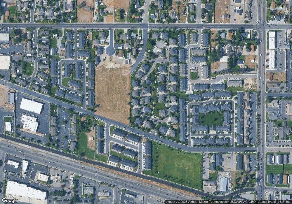
Map
Nearby Homes
- 147 S 920 E
- 143 S 920 E Unit 306
- 147 S 920 E Unit 304
- 145 S 920 E
- 163 S 920 E
- 159 S 920 E
- 159 S 920 E Unit 307
- 161 S 920 E Unit 308
- 129 S 920 E
- 131 S 920 E
- 127 S 920 E
- 127 S 920 E Unit 301
- 152 S 920 E
- 152 S 920 E Unit 319
- 154 S 920 E Unit 320
- 320 E 920 N
- 142 S 920 E
- 142 S 920 E Unit 323
- 156 S 920 E
- 156 S 920 E Unit 321
Your Personal Tour Guide
Ask me questions while you tour the home.