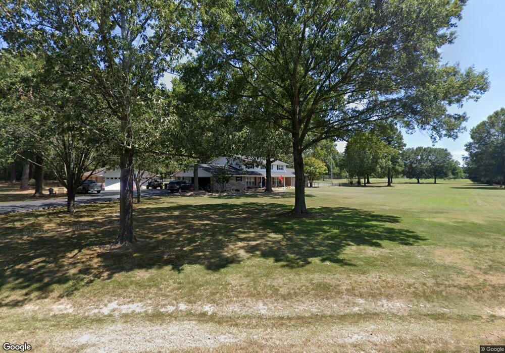
1430 Brookfield Dr Conway, AR 72032
Estimated Value: $529,132 - $638,000
Studio
5
Baths
4,580
Sq Ft
$125/Sq Ft
Est. Value
About This Home
This home is located at 1430 Brookfield Dr, Conway, AR 72032 and is currently estimated at $573,377, approximately $125 per square foot. 1430 Brookfield Dr is a home located in Faulkner County with nearby schools including Theodore Jones Elementary School, Conway Junior High School, and Conway High School.
Ownership History
Date
Name
Owned For
Owner Type
Purchase Details
Closed on
Jul 23, 2021
Sold by
Nabholz Thomas J and Estate Of Barbara J Nabholz
Bought by
Nabholz Beth A and Nabholz Thomas J
Current Estimated Value
Home Financials for this Owner
Home Financials are based on the most recent Mortgage that was taken out on this home.
Original Mortgage
$380,000
Outstanding Balance
$342,707
Interest Rate
2.93%
Mortgage Type
New Conventional
Estimated Equity
$230,670
Create a Home Valuation Report for This Property
The Home Valuation Report is an in-depth analysis detailing your home's value as well as a comparison with similar homes in the area
Home Values in the Area
Average Home Value in this Area
Purchase History
| Date | Buyer | Sale Price | Title Company |
|---|---|---|---|
| Nabholz Beth A | $475,000 | None Available |
Source: Public Records
Mortgage History
| Date | Status | Borrower | Loan Amount |
|---|---|---|---|
| Open | Nabholz Beth A | $380,000 |
Source: Public Records
Tax History
| Year | Tax Paid | Tax Assessment Tax Assessment Total Assessment is a certain percentage of the fair market value that is determined by local assessors to be the total taxable value of land and additions on the property. | Land | Improvement |
|---|---|---|---|---|
| 2025 | $4,517 | $119,690 | $7,040 | $112,650 |
| 2024 | $4,312 | $119,690 | $7,040 | $112,650 |
| 2023 | $4,106 | $81,150 | $7,040 | $74,110 |
| 2022 | $3,731 | $81,150 | $7,040 | $74,110 |
| 2021 | $3,160 | $81,150 | $7,040 | $74,110 |
| 2020 | $3,367 | $66,540 | $7,040 | $59,500 |
| 2019 | $3,367 | $66,540 | $7,040 | $59,500 |
| 2018 | $3,367 | $66,540 | $7,040 | $59,500 |
| 2017 | $3,367 | $66,540 | $7,040 | $59,500 |
| 2016 | $3,367 | $66,540 | $7,040 | $59,500 |
| 2015 | $3,677 | $72,670 | $7,040 | $65,630 |
| 2014 | $3,597 | $72,670 | $7,040 | $65,630 |
Source: Public Records
Map
Nearby Homes
- 2365 E Oak St
- 2415 E Oak St
- 00 Caskay Dr
- 1810 Angeline Dr
- 13 Martha Ln
- 000 E German Ln
- 82 Addi Ln
- 137 Union Rd
- 24 Lots Hays Add
- 0 Hidden Valley Rd Unit 26009095
- 2485 E Oak St
- 360 Navaho Trail
- 1906 Arrowhead Ln
- 278-I U S Highway 64
- 278-H U S Highway 64
- 278 Hwy 64 E
- 278 C U S Highway 64 E
- 278-E Hwy 64 E
- 440 Bernard Dr
- 1225 Bird Song Dr
- 1430 Brookfield Dr
- 1340 Strandlund Dr
- 1320 Brookfield Dr
- 1310 Brookfield Dr
- 1440 Brookfield Dr
- 1335 Brookfield Dr
- 1230 Brookfield Dr
- 2325 Brookfield Dr
- 1325 Brookfield Dr
- 2415 Brookfield Dr
- 1220 Brookfield Dr
- 1480 Strandlund Dr
- 0 Strandlund Dr
- 1235 Brookfield Dr
- 1225 Brookfield Dr
- 1455 Strandlund Dr
- 1215 Brookfield Dr
- 1210 Brookfield Dr
- 1135 Brookfield Dr
- 11 Willis Way
Your Personal Tour Guide
Ask me questions while you tour the home.