Estimated Value: $252,000 - $363,091
4
Beds
2
Baths
1,600
Sq Ft
$196/Sq Ft
Est. Value
About This Home
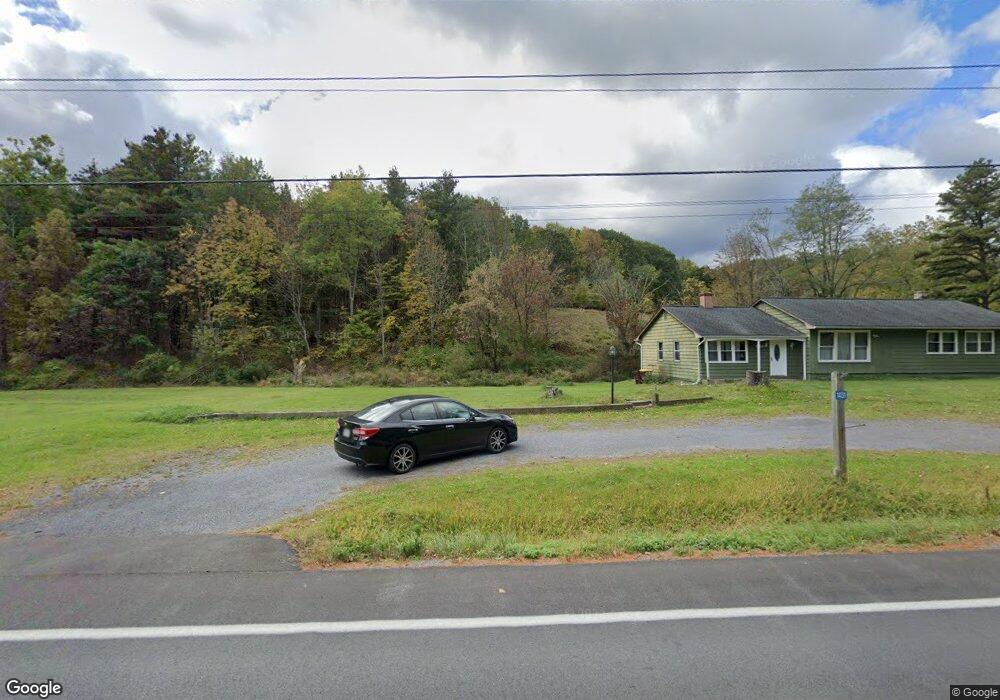
This home is located at 1431 Route 145, Cairo, NY 12413 and is currently estimated at $313,023, approximately $195 per square foot. 1431 Route 145 is a home located in Greene County with nearby schools including Cairo-Durham Elementary School, Cairo-Durham Middle School, and Cairo-Durham High School.
Ownership History
Date
Name
Owned For
Owner Type
Purchase Details
Closed on
Oct 27, 2022
Sold by
Gaye Kenneth and Gaye Maria
Bought by
Haley Steven W
Current Estimated Value
Home Financials for this Owner
Home Financials are based on the most recent Mortgage that was taken out on this home.
Original Mortgage
$136,500
Outstanding Balance
$132,244
Interest Rate
6.92%
Mortgage Type
Purchase Money Mortgage
Estimated Equity
$180,779
Purchase Details
Closed on
Dec 15, 2009
Sold by
Estate Lucente Daniel J
Bought by
Gaye Kenneth
Home Financials for this Owner
Home Financials are based on the most recent Mortgage that was taken out on this home.
Original Mortgage
$194,413
Interest Rate
5%
Mortgage Type
Purchase Money Mortgage
Create a Home Valuation Report for This Property
The Home Valuation Report is an in-depth analysis detailing your home's value as well as a comparison with similar homes in the area
Home Values in the Area
Average Home Value in this Area
Purchase History
| Date | Buyer | Sale Price | Title Company |
|---|---|---|---|
| Haley Steven W | $210,000 | None Available | |
| Gaye Kenneth | $190,000 | Mike Jordan |
Source: Public Records
Mortgage History
| Date | Status | Borrower | Loan Amount |
|---|---|---|---|
| Open | Haley Steven W | $136,500 | |
| Previous Owner | Gaye Kenneth | $194,413 |
Source: Public Records
Tax History
| Year | Tax Paid | Tax Assessment Tax Assessment Total Assessment is a certain percentage of the fair market value that is determined by local assessors to be the total taxable value of land and additions on the property. | Land | Improvement |
|---|---|---|---|---|
| 2024 | $5,514 | $136,000 | $21,000 | $115,000 |
| 2023 | $5,499 | $136,000 | $21,000 | $115,000 |
| 2022 | $5,367 | $136,000 | $21,000 | $115,000 |
| 2021 | $5,139 | $136,000 | $21,000 | $115,000 |
| 2020 | $4,819 | $136,000 | $21,000 | $115,000 |
| 2019 | $4,450 | $136,000 | $21,000 | $115,000 |
| 2018 | $4,450 | $136,000 | $21,000 | $115,000 |
| 2017 | $4,388 | $136,000 | $21,000 | $115,000 |
| 2016 | $4,383 | $136,000 | $21,000 | $115,000 |
| 2015 | -- | $136,000 | $21,000 | $115,000 |
| 2014 | -- | $136,000 | $21,000 | $115,000 |
Source: Public Records
Map
Nearby Homes
- 1494 New York 145
- 1595 New York 145
- 0 Wachter Blvd Unit 155918
- 219 Edison Timmerman Rd
- 35 Banta Ln
- 36 Banta Ln
- 3667 Route 67
- 3645 Route 67
- 3840 Route 67
- 128 W Moorehouse Rd
- L4 Circle Dr
- L6 Circle Dr
- 100 Meadow Ln
- 70 Horseneck Rd
- 40 Paddock Rd
- 676 Route 145
- 192 Weed Rd
- L-35 Harring Dr
- L35 Harring Dr
- 0 Pine Crest Ln Unit 20261000
- 1431 Route 145
- 1432 Route 145
- 1431 New York 145
- 1446 New York 145
- 1422 Route 145
- 1431 Rt 145
- 1431 Route 145
- 1458 Route 145
- 1397 New York 145
- 1470 Route 145
- 1397 Route 145
- 1476 Route 145
- 1485 Route 145
- 1494 Route 145
- 1501 New York 145
- 1501 Route 145
- 1502 Route 145
- 1502 New York 145
- 1521 Route 145
- 1521 New York 145
Your Personal Tour Guide
Ask me questions while you tour the home.