14333 E Hawaii Cir Unit B Aurora, CO 80012
Sable Ridge NeighborhoodEstimated Value: $254,000 - $291,000
2
Beds
1
Bath
1,036
Sq Ft
$259/Sq Ft
Est. Value
About This Home
This home is located at 14333 E Hawaii Cir Unit B, Aurora, CO 80012 and is currently estimated at $268,195, approximately $258 per square foot. 14333 E Hawaii Cir Unit B is a home located in Arapahoe County with nearby schools including Jewell Elementary School, Aurora Hills Middle School, and Gateway High School.
Ownership History
Date
Name
Owned For
Owner Type
Purchase Details
Closed on
Sep 12, 2018
Sold by
Allen Investments Llc
Bought by
Hawaii B Llc
Current Estimated Value
Purchase Details
Closed on
Aug 9, 2013
Sold by
Adcock Donna L
Bought by
Allen Investments Llc
Purchase Details
Closed on
Oct 3, 1997
Sold by
Gardner Brian W
Bought by
Adcock Donna L
Home Financials for this Owner
Home Financials are based on the most recent Mortgage that was taken out on this home.
Original Mortgage
$52,000
Interest Rate
7.33%
Purchase Details
Closed on
Jun 1, 1985
Sold by
Conversion Arapco
Bought by
Conversion Arapco
Purchase Details
Closed on
Sep 1, 1982
Bought by
Conversion Arapco
Create a Home Valuation Report for This Property
The Home Valuation Report is an in-depth analysis detailing your home's value as well as a comparison with similar homes in the area
Home Values in the Area
Average Home Value in this Area
Purchase History
We collect this data history from publicly available records. To have your information removed, we recommend requesting removal directly through your county’s website.
| Date | Buyer | Sale Price | Title Company |
|---|---|---|---|
| Hawaii B Llc | -- | None Available | |
| Allen Investments Llc | $87,500 | Land Title Guarantee Company | |
| Adcock Donna L | $65,000 | -- | |
| Conversion Arapco | -- | -- | |
| Conversion Arapco | -- | -- |
Source: Public Records
Mortgage History
We collect this data history from publicly available records. To have your information removed, we recommend requesting removal directly through your county’s website.
| Date | Status | Borrower | Loan Amount |
|---|---|---|---|
| Previous Owner | Adcock Donna L | $52,000 |
Source: Public Records
Tax History
| Year | Tax Paid | Tax Assessment Tax Assessment Total Assessment is a certain percentage of the fair market value that is determined by local assessors to be the total taxable value of land and additions on the property. | Land | Improvement |
|---|---|---|---|---|
| 2025 | $1,588 | $18,294 | -- | -- |
| 2024 | $1,541 | $16,576 | -- | -- |
| 2023 | $1,541 | $16,576 | $0 | $0 |
| 2022 | $1,466 | $14,595 | $0 | $0 |
| 2021 | $1,513 | $14,595 | $0 | $0 |
| 2020 | $1,584 | $15,215 | $0 | $0 |
| 2019 | $1,576 | $15,215 | $0 | $0 |
| 2018 | $1,216 | $11,498 | $0 | $0 |
| 2017 | $1,058 | $11,498 | $0 | $0 |
| 2016 | $774 | $8,239 | $0 | $0 |
| 2015 | $747 | $8,239 | $0 | $0 |
| 2014 | -- | $4,537 | $0 | $0 |
| 2013 | -- | $4,790 | $0 | $0 |
Source: Public Records
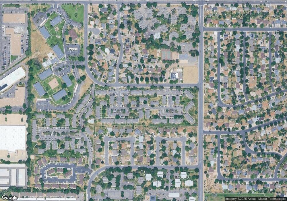
Map
Nearby Homes
- 14486 E Hawaii Cir Unit B
- 14201 E Hawaii Cir Unit B
- 14292 E Hawaii Cir Unit D
- 1551 S Dawson St
- 1662 S Blackhawk Way Unit C
- 14404 E Colorado Dr Unit 204
- 1653 S Blackhawk Way Unit B
- 14498 E Florida Ave Unit B
- 1731 S Blackhawk Way Unit D
- 14434 E Colorado Dr Unit 101
- 14142 E Colorado Dr Unit 101
- 14453 E Jewell Ave Unit 104
- 14141 E Jewell Ave Unit 103
- 14473 E Jewell Ave Unit 102
- 14493 E Jewell Ave Unit 102
- 14111 E Jewell Ave Unit 102
- 14034 E Utah Cir Unit 5
- 13958 E Idaho Dr
- 1519 S Evanston St
- 14087 E Jewell Ave
- 14465 E Hawaii Cir Unit B
- 14465 E Hawaii Cir Unit C
- 14465 E Hawaii Cir Unit D
- 14465 E Hawaii Cir Unit E
- 14465 E Hawaii Cir Unit F
- 14363 E Hawaii Cir Unit A
- 14363 E Hawaii Cir Unit B
- 14363 E Hawaii Cir Unit C
- 14363 E Hawaii Cir Unit D
- 14363 E Hawaii Cir Unit E
- 14363 E Hawaii Cir Unit F
- 14466 E Hawaii Cir Unit F
- 14466 E Hawaii Cir Unit E
- 14466 E Hawaii Cir Unit D
- 14466 E Hawaii Cir Unit C
- 14466 E Hawaii Cir Unit B
- 14466 E Hawaii Cir Unit A
- 14495 E Hawaii Cir Unit D
- 14495 E Hawaii Cir Unit C
- 14495 E Hawaii Cir Unit B
Your Personal Tour Guide
Ask me questions while you tour the home.