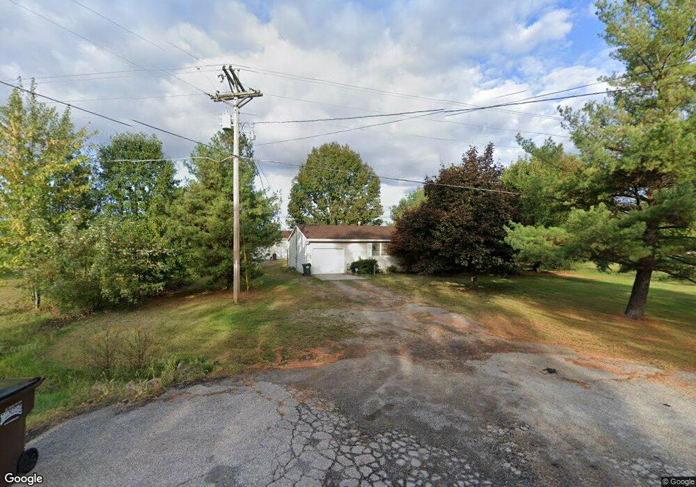
14394 Lagrange Rd Lagrange, OH 44050
LaGrange AreaEstimated Value: $208,298 - $327,000
About This Home
This home is located at 14394 Lagrange Rd, Lagrange, OH 44050 and is currently estimated at $251,575, approximately $218 per square foot. 14394 Lagrange Rd is a home located in Lorain County with nearby schools including Keystone Elementary School, Keystone Middle School, and Keystone High School.
Ownership History
We collect this data history from publicly available records. To have your information removed, we recommend requesting removal directly through your county’s website.
Purchase Details
Home Financials for this Owner
Home Financials are based on the most recent Mortgage that was taken out on this home.Purchase Details
Purchase Details
Purchase Details
Home Financials for this Owner
Home Financials are based on the most recent Mortgage that was taken out on this home.Purchase Details
Home Financials for this Owner
Home Financials are based on the most recent Mortgage that was taken out on this home.Purchase History
We collect this data history from publicly available records. To have your information removed, we recommend requesting removal directly through your county’s website.
| Date | Buyer | Sale Price | Title Company |
|---|---|---|---|
| $85,650 | Lakeside Title & Escrow Agen | ||
| $66,000 | None Available | ||
| -- | None Available | ||
| $140,900 | -- | ||
| $127,000 | Midland Title |
Mortgage History
We collect this data history from publicly available records. To have your information removed, we recommend requesting removal directly through your county’s website.
| Date | Status | Borrower | Loan Amount |
|---|---|---|---|
| Open | $96,662 | ||
| Closed | $90,572 | ||
| Closed | $90,743 | ||
| Previous Owner | $138,699 | ||
| Previous Owner | $101,600 |
Tax History
We collect this data history from publicly available records. To have your information removed, we recommend requesting removal directly through your county’s website.
| Year | Tax Paid | Tax Assessment Tax Assessment Total Assessment is a certain percentage of the fair market value that is determined by local assessors to be the total taxable value of land and additions on the property. | Land | Improvement |
|---|---|---|---|---|
| 2024 | $2,383 | $57,540 | $12,593 | $44,947 |
| 2023 | $2,236 | $44,429 | $12,240 | $32,190 |
| 2022 | $2,220 | $44,429 | $12,240 | $32,190 |
| 2021 | $2,219 | $44,429 | $12,240 | $32,190 |
| 2020 | $2,275 | $41,300 | $11,380 | $29,920 |
| 2019 | $2,261 | $41,300 | $11,380 | $29,920 |
| 2018 | $2,162 | $41,300 | $11,380 | $29,920 |
| 2017 | $2,054 | $34,880 | $11,380 | $23,500 |
| 2016 | $2,041 | $34,880 | $11,380 | $23,500 |
| 2015 | $2,008 | $34,880 | $11,380 | $23,500 |
| 2014 | $1,809 | $34,880 | $11,380 | $23,500 |
| 2013 | $1,809 | $34,880 | $11,380 | $23,500 |
Map
- 14446 State Route 301
- 14838 State Route 301
- 40175 Banks Rd
- 15191 Whitehead Rd
- 15494 Wheeler Rd
- 180 Mallard Creek Run
- 808 Buckingham Dr
- 800 Buckingham Dr
- 16246 State Route 301
- 548 William St
- 611 Rundle St
- 548 Appomattox Ct
- 187 Loperwood Ln
- 604 Rundle St
- 509 William St
- 119 Harmon Ct
- 13001 Indian Hollow Rd
- 38799 Arbor Ct
- 315 West St
- 1132 Hunting Hollow
- 14394 State Route 301
- 14211 State Route 301
- 14356 State Route 301
- 14169 State Route 301
- VL E Lagrange Rd
- 14300 State Route 301
- 14294 State Route 301
- 14159 State Route 301
- 41012 Parsons Rd
- 41018 Parsons Rd
- VL D Parsons Rd
- 14446 Ohio 301
- 41022 Parsons Rd
- 14539 State Route 301
- VL C Parsons Rd
- VL E & F Parsons Rd
- 40921 Parsons Rd
- 41028 Parsons Rd
- 14280 State Route 301
- 14284 State Route 301
Ask me questions while you tour the home.