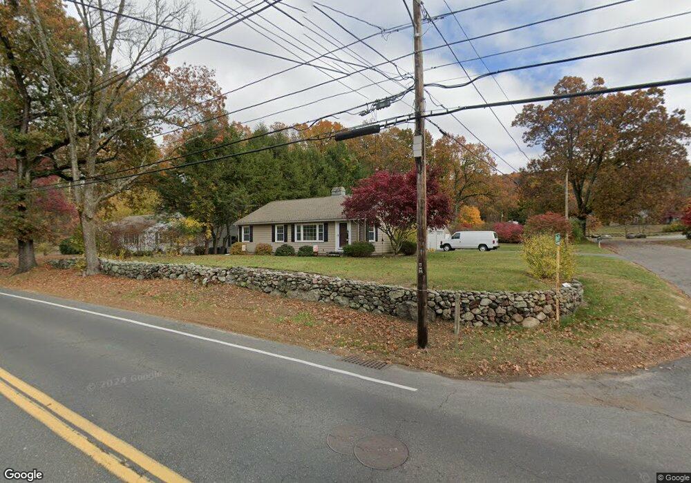
144 Main St Wilbraham, MA 01095
Estimated Value: $354,959 - $441,000
2
Beds
1
Bath
1,344
Sq Ft
$289/Sq Ft
Est. Value
About This Home
This home is located at 144 Main St, Wilbraham, MA 01095 and is currently estimated at $388,490, approximately $289 per square foot. 144 Main St is a home located in Hampden County with nearby schools including Minnechaug Regional High School and Wilbraham & Monson Academy.
Ownership History
Date
Name
Owned For
Owner Type
Purchase Details
Closed on
Nov 17, 2020
Sold by
Zebian Hazel
Bought by
Zebian Hazel and Zebian-Vasta Amanda
Current Estimated Value
Purchase Details
Closed on
May 20, 2011
Sold by
Laffert Michele R
Bought by
Zebian Nazih and Zebian Hazel
Purchase Details
Closed on
Jun 26, 1998
Sold by
Guas Octavio and Guas Elena J
Bought by
Laffert Michele R
Home Financials for this Owner
Home Financials are based on the most recent Mortgage that was taken out on this home.
Original Mortgage
$116,370
Interest Rate
7.09%
Mortgage Type
Purchase Money Mortgage
Purchase Details
Closed on
Jun 30, 1997
Sold by
Nascimbeni Ruth H Est
Bought by
Guas Octavio and Guas Elena J
Home Financials for this Owner
Home Financials are based on the most recent Mortgage that was taken out on this home.
Original Mortgage
$113,000
Interest Rate
7.81%
Mortgage Type
Purchase Money Mortgage
Create a Home Valuation Report for This Property
The Home Valuation Report is an in-depth analysis detailing your home's value as well as a comparison with similar homes in the area
Home Values in the Area
Average Home Value in this Area
Purchase History
We collect this data history from publicly available records. To have your information removed, we recommend requesting removal directly through your county’s website.
| Date | Buyer | Sale Price | Title Company |
|---|---|---|---|
| Zebian Hazel | -- | None Available | |
| Zebian Nazih | $200,000 | -- | |
| Laffert Michele R | $129,300 | -- | |
| Guas Octavio | $119,000 | -- |
Source: Public Records
Mortgage History
We collect this data history from publicly available records. To have your information removed, we recommend requesting removal directly through your county’s website.
| Date | Status | Borrower | Loan Amount |
|---|---|---|---|
| Previous Owner | Guas Octavio | $50,000 | |
| Previous Owner | Guas Octavio | $116,370 | |
| Previous Owner | Guas Octavio | $113,000 |
Source: Public Records
Tax History
| Year | Tax Paid | Tax Assessment Tax Assessment Total Assessment is a certain percentage of the fair market value that is determined by local assessors to be the total taxable value of land and additions on the property. | Land | Improvement |
|---|---|---|---|---|
| 2025 | $5,241 | $293,100 | $77,100 | $216,000 |
| 2024 | $5,002 | $270,400 | $77,100 | $193,300 |
| 2023 | $4,801 | $269,000 | $77,100 | $191,900 |
| 2022 | $4,801 | $234,300 | $77,100 | $157,200 |
| 2021 | $4,592 | $200,000 | $83,000 | $117,000 |
| 2020 | $4,476 | $200,000 | $83,000 | $117,000 |
| 2019 | $4,362 | $200,100 | $83,000 | $117,100 |
| 2018 | $4,118 | $181,900 | $83,000 | $98,900 |
| 2017 | $4,002 | $181,900 | $83,000 | $98,900 |
| 2016 | $3,918 | $181,400 | $92,200 | $89,200 |
| 2015 | $3,788 | $181,400 | $92,200 | $89,200 |
Source: Public Records
Map
Nearby Homes
- 24 Merrill Rd
- 100 High Pine Cir
- 6 Blueberry Hill Rd
- 20 Arbor Ln
- 459 Mountain Rd
- 474-480 Mountain Rd
- 46 Washington Rd
- 474 Mountain Rd
- 19 Voltage Ave
- 7 Highridge Rd
- 80 Elizabeth Dr
- 10 Cadwell Dr
- 38 King Dr
- 107 Sandalwood Dr
- 37 Balsam Hill Rd
- 56 Cherry Dr Unit 56
- 751 Ridge Rd
- 49 Balsam Hill Rd
- 44 Balsam Hill Rd
- 8 Bittersweet Ln
Your Personal Tour Guide
Ask me questions while you tour the home.