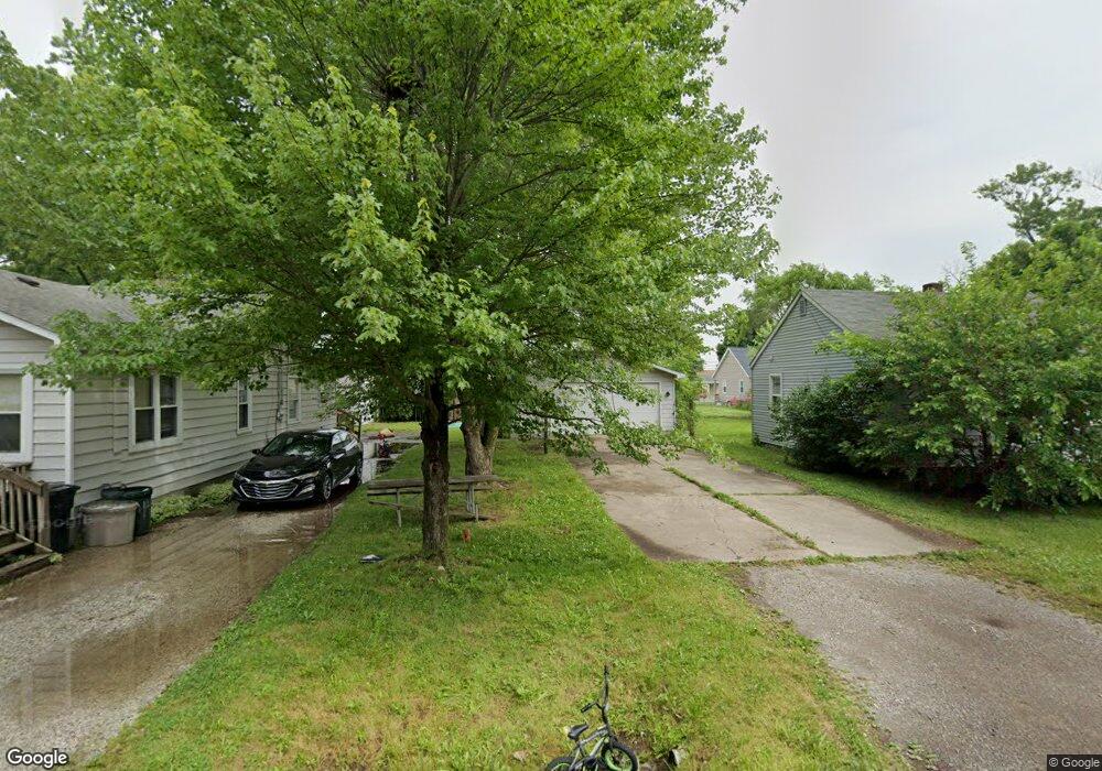
1449 E Decamp St Burton, MI 48529
South Side NeighborhoodEstimated Value: $98,000 - $111,000
Studio
--
Bath
994
Sq Ft
$107/Sq Ft
Est. Value
About This Home
This home is located at 1449 E Decamp St, Burton, MI 48529 and is currently estimated at $106,426, approximately $107 per square foot. 1449 E Decamp St is a home located in Genesee County with nearby schools including South Bendle Elementary School, West Bendle Elementary School, and Bendle Middle School.
Ownership History
Date
Name
Owned For
Owner Type
Purchase Details
Closed on
Jan 6, 2025
Sold by
Stratton Oaks Llc
Bought by
A2b Capital Llc
Current Estimated Value
Purchase Details
Closed on
Feb 10, 2023
Sold by
Foust Opal Fay
Bought by
Stratton Oak Llc
Home Financials for this Owner
Home Financials are based on the most recent Mortgage that was taken out on this home.
Original Mortgage
$50,000
Interest Rate
6.48%
Mortgage Type
New Conventional
Purchase Details
Closed on
Oct 21, 1999
Sold by
Foust Joel
Bought by
Foust Opal F
Create a Home Valuation Report for This Property
The Home Valuation Report is an in-depth analysis detailing your home's value as well as a comparison with similar homes in the area
Home Values in the Area
Average Home Value in this Area
Purchase History
| Date | Buyer | Sale Price | Title Company |
|---|---|---|---|
| A2b Capital Llc | -- | None Listed On Document | |
| Stratton Oak Llc | $28,000 | Mason Burgess Title | |
| Foust Opal F | -- | -- |
Source: Public Records
Mortgage History
| Date | Status | Borrower | Loan Amount |
|---|---|---|---|
| Previous Owner | Stratton Oak Llc | $50,000 |
Source: Public Records
Tax History
| Year | Tax Paid | Tax Assessment Tax Assessment Total Assessment is a certain percentage of the fair market value that is determined by local assessors to be the total taxable value of land and additions on the property. | Land | Improvement |
|---|---|---|---|---|
| 2025 | $3,431 | $51,000 | $0 | $0 |
| 2024 | $2,278 | $44,900 | $0 | $0 |
| 2023 | $1,208 | $44,400 | $0 | $0 |
| 2022 | $1,013 | $33,300 | $0 | $0 |
| 2021 | $496 | $33,000 | $0 | $0 |
| 2020 | $1,256 | $30,300 | $0 | $0 |
| 2019 | $1,074 | $23,000 | $0 | $0 |
| 2018 | $1,495 | $21,900 | $0 | $0 |
| 2017 | $1,453 | $21,900 | $0 | $0 |
| 2016 | $1,431 | $19,600 | $0 | $0 |
| 2015 | $1,437 | $0 | $0 | $0 |
| 2012 | -- | $19,800 | $19,800 | $0 |
Source: Public Records
Map
Nearby Homes
- 1453 Carman St
- 1483 Carman St
- 1391 Wells St
- 1450 Carman St
- 1386 E Hemphill Rd
- 1377 Allen St
- 1335 Allen St
- 4526 Milton Dr
- 1457 E Bristol Rd
- 1335 Connell St
- 338 Browning Ave
- 1233 Carman St
- 1219 Norton St
- 413 E Hemphill Rd
- 1216 E Hemphill Rd
- 4308 S Grand Traverse St
- 612 Clinton St
- 3914 Red Arrow Rd
- 1147 Norton St
- 326 Burroughs Ave
- 1445 E Decamp St
- 1457 E Decamp St
- 1452 Allen St
- 1448 Allen St
- 1461 E Decamp St
- 1439 E Decamp St
- 1444 Allen St
- 1438 Allen St
- 1465 E Decamp St
- 1460 Allen St
- 1452 E Decamp St
- 1440 E Decamp St
- 1456 E Decamp St
- 1469 E Decamp St
- 1429 E Decamp St
- 1430 Allen St
- 1473 E Decamp St
- 1468 Allen St
- 1425 E Decamp St
- 1451 Allen St
Your Personal Tour Guide
Ask me questions while you tour the home.