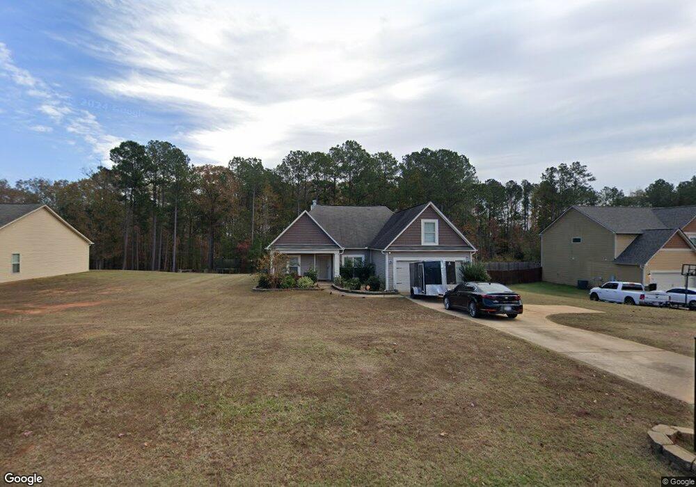
145 Amhurst Dr West Point, GA 31833
Estimated Value: $260,019 - $320,000
3
Beds
3
Baths
1,805
Sq Ft
$161/Sq Ft
Est. Value
About This Home
This home is located at 145 Amhurst Dr, West Point, GA 31833 and is currently estimated at $290,755, approximately $161 per square foot. 145 Amhurst Dr is a home with nearby schools including West Point Elementary School, Long Cane Elementary School, and Whitesville Road Elementary School.
Ownership History
Date
Name
Owned For
Owner Type
Purchase Details
Closed on
Oct 29, 2013
Sold by
Dri Amhurst Llc
Bought by
Mckinney Serrita C
Current Estimated Value
Home Financials for this Owner
Home Financials are based on the most recent Mortgage that was taken out on this home.
Original Mortgage
$152,978
Outstanding Balance
$113,810
Interest Rate
4.4%
Mortgage Type
FHA
Estimated Equity
$176,945
Create a Home Valuation Report for This Property
The Home Valuation Report is an in-depth analysis detailing your home's value as well as a comparison with similar homes in the area
Home Values in the Area
Average Home Value in this Area
Purchase History
We collect this data history from publicly available records. To have your information removed, we recommend requesting removal directly through your county’s website.
| Date | Buyer | Sale Price | Title Company |
|---|---|---|---|
| Mckinney Serrita C | $155,800 | -- |
Source: Public Records
Mortgage History
We collect this data history from publicly available records. To have your information removed, we recommend requesting removal directly through your county’s website.
| Date | Status | Borrower | Loan Amount |
|---|---|---|---|
| Open | Mckinney Serrita C | $152,978 |
Source: Public Records
Tax History
| Year | Tax Paid | Tax Assessment Tax Assessment Total Assessment is a certain percentage of the fair market value that is determined by local assessors to be the total taxable value of land and additions on the property. | Land | Improvement |
|---|---|---|---|---|
| 2025 | $2,462 | $97,040 | $14,000 | $83,040 |
| 2024 | $2,281 | $83,640 | $14,000 | $69,640 |
| 2023 | $2,288 | $85,880 | $14,000 | $71,880 |
| 2022 | $2,017 | $74,240 | $10,000 | $64,240 |
| 2021 | $2,026 | $69,160 | $10,000 | $59,160 |
| 2020 | $1,966 | $67,160 | $8,000 | $59,160 |
| 2019 | $1,768 | $60,600 | $6,000 | $54,600 |
| 2018 | $1,768 | $60,600 | $6,000 | $54,600 |
| 2017 | $1,768 | $60,600 | $6,000 | $54,600 |
| 2016 | $1,836 | $62,866 | $6,000 | $56,866 |
| 2015 | $1,840 | $62,866 | $6,000 | $56,866 |
| 2014 | $1,756 | $60,022 | $6,000 | $54,022 |
| 2013 | -- | $5,400 | $5,400 | $0 |
Source: Public Records
Map
Nearby Homes
- 4172 Bartley Rd
- 145 Jarrell Hogg Rd
- 101 Garden Walk Unit 85
- 648 Warner Rd
- 0 Warner Rd Unit 10758748
- 211 Harris Walk
- 223 Harris Walk
- 221 Harris Walk
- 0 Sandtown Rd Unit 10255987
- 797 Gabbettville Rd
- 143 W Drummond Rd
- 151 W Drummond Rd
- 157 W Drummond Rd
- 137 W Drummond Rd
- 131 W Drummond Rd
- 0 Woodyard Rd Unit 10732893
- 423 Gabbettville Rd
- 3005 Georgia 18
- 269 Harris Walk
- 0 Lambert Rd
- 143 Amhurst Dr Unit 24
- 147 Amhurst Dr
- 147 Amhurst Dr Unit 26
- 141 Amhurst Dr Unit 23
- 149 Amhurst Cir Unit LOT 27
- 149 Amhurst Cir
- 139 Amhurst Dr Unit 22
- 151 Amhurst Cir
- 144 Amhurst Dr Unit 49
- 194 Amhurst Cir
- 142 Amhurst Dr Unit 50
- 137 Amhurst Dr
- 137 Amhurst Dr Unit 21
- 140 Amhurst Dr
- 140 Amhurst Dr Unit 51
- 153 Amhurst Cir Unit LOT 29
- 153 Amhurst Cir
- 135 Amhurst Dr Unit 20
- 152 Amhurst Cir
- 138 Amhurst Dr Unit 52
Your Personal Tour Guide
Ask me questions while you tour the home.