145 Apache Rd Harrellsville, NC 27942
Estimated Value: $165,000 - $254,000
About This Home
This home is located at 145 Apache Rd, Harrellsville, NC 27942 and is currently estimated at $218,591, approximately $175 per square foot. 145 Apache Rd is a home.
Ownership History
We collect this data history from publicly available records. To have your information removed, we recommend requesting removal directly through your county’s website.
Purchase Details
Home Financials for this Owner
Home Financials are based on the most recent Mortgage that was taken out on this home.Purchase Details
Home Financials for this Owner
Home Financials are based on the most recent Mortgage that was taken out on this home.Purchase Details
Purchase Details
Home Financials for this Owner
Home Financials are based on the most recent Mortgage that was taken out on this home.Purchase History
We collect this data history from publicly available records. To have your information removed, we recommend requesting removal directly through your county’s website.
| Date | Buyer | Sale Price | Title Company |
|---|---|---|---|
| $225,000 | None Listed On Document | ||
| -- | None Available | ||
| $109,440 | None Available | ||
| $172,000 | None Available |
Mortgage History
We collect this data history from publicly available records. To have your information removed, we recommend requesting removal directly through your county’s website.
| Date | Status | Borrower | Loan Amount |
|---|---|---|---|
| Open | $225,000 | ||
| Previous Owner | $100,000 | ||
| Previous Owner | $170,651 |
Tax History
We collect this data history from publicly available records. To have your information removed, we recommend requesting removal directly through your county’s website.
| Year | Tax Paid | Tax Assessment Tax Assessment Total Assessment is a certain percentage of the fair market value that is determined by local assessors to be the total taxable value of land and additions on the property. | Land | Improvement |
|---|---|---|---|---|
| 2025 | $1,500 | $146,436 | $0 | $0 |
| 2024 | $1,490 | $146,436 | $0 | $0 |
| 2023 | $1,490 | $146,436 | $0 | $0 |
| 2022 | $1,420 | $146,436 | $0 | $0 |
| 2019 | $1,410 | $146,436 | $0 | $0 |
| 2018 | $1,305 | $137,484 | $0 | $0 |
| 2017 | $1,305 | $137,484 | $0 | $0 |
| 2016 | $1,305 | $137,484 | $0 | $0 |
| 2015 | -- | $143,592 | $0 | $0 |
| 2014 | -- | $143,592 | $0 | $0 |
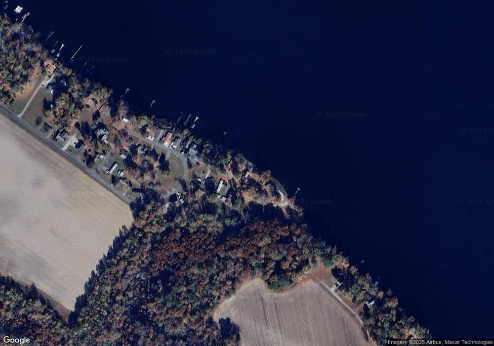
Map
- 118 Apache Rd
- TBD Swains Mill Rd
- 2317 N Carolina 45
- 115 Taylors Way
- 1943 N Carolina 561
- 419 Cannons Ferry Rd
- 415 Cannons Ferry Rd
- 3733 Virginia Rd
- 566 N Carolina 37
- 335 Wingfield Rd
- 1813 Arapahoe Trail
- 1611 Arapahoe Trail
- 109 Chickasaw Trail
- 1306 Slick Hill Rd
- 358 Flat Branch Rd
- 1502 Sac Trail
- 121 & 123 Pueblo Trail
- 205 Comanche Trail
- 108 Cheyenne Trail
- 304 Kaw Trail
Ask me questions while you tour the home.