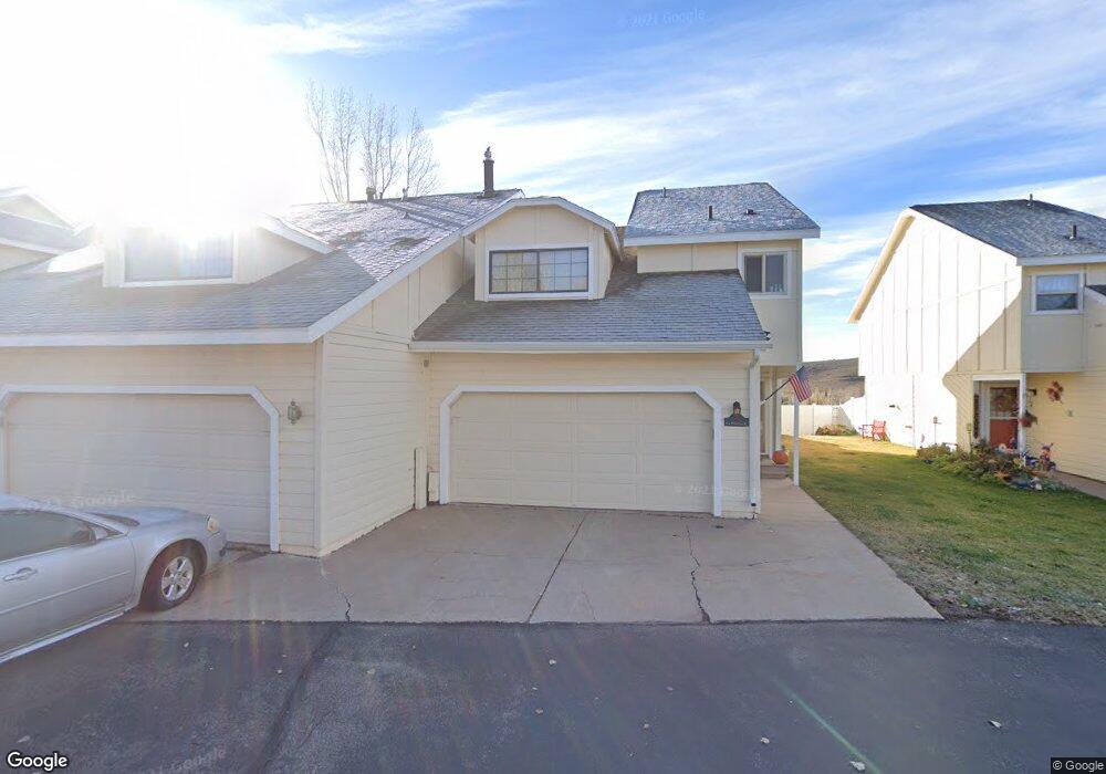
145 Fox Point Loop Rd Evanston, WY 82930
Estimated Value: $232,000 - $293,000
3
Beds
3
Baths
1,575
Sq Ft
$161/Sq Ft
Est. Value
About This Home
This home is located at 145 Fox Point Loop Rd, Evanston, WY 82930 and is currently estimated at $253,927, approximately $161 per square foot. 145 Fox Point Loop Rd is a home located in Uinta County with nearby schools including Evanston High School and Evanston Child Development Center.
Ownership History
Date
Name
Owned For
Owner Type
Purchase Details
Closed on
Aug 19, 2020
Sold by
Swensen Barbara and Hutchinson Barbara Jo
Bought by
Sellers Re Investment Holdings Llc
Current Estimated Value
Purchase Details
Closed on
Jan 17, 2014
Sold by
Demester Ken and Demester Vesta E
Bought by
Hutchinson Barbara Jo
Home Financials for this Owner
Home Financials are based on the most recent Mortgage that was taken out on this home.
Original Mortgage
$109,710
Interest Rate
4.48%
Mortgage Type
New Conventional
Create a Home Valuation Report for This Property
The Home Valuation Report is an in-depth analysis detailing your home's value as well as a comparison with similar homes in the area
Purchase History
| Date | Buyer | Sale Price | Title Company |
|---|---|---|---|
| Sellers Re Investment Holdings Llc | -- | First American Title Ins Co | |
| Hutchinson Barbara Jo | -- | None Available |
Source: Public Records
Mortgage History
| Date | Status | Borrower | Loan Amount |
|---|---|---|---|
| Previous Owner | Hutchinson Barbara Jo | $109,710 |
Source: Public Records
Tax History
| Year | Tax Paid | Tax Assessment Tax Assessment Total Assessment is a certain percentage of the fair market value that is determined by local assessors to be the total taxable value of land and additions on the property. | Land | Improvement |
|---|---|---|---|---|
| 2025 | $1,010 | $11,531 | $1,556 | $9,975 |
| 2024 | $1,010 | $14,864 | $2,075 | $12,789 |
| 2023 | $929 | $13,735 | $1,318 | $12,417 |
| 2022 | $726 | $10,665 | $1,126 | $9,539 |
| 2021 | $701 | $10,279 | $1,126 | $9,153 |
| 2020 | $723 | $10,617 | $1,052 | $9,565 |
| 2019 | $663 | $9,746 | $1,052 | $8,694 |
| 2018 | $192 | $8,257 | $946 | $7,311 |
| 2017 | $568 | $8,353 | $936 | $7,417 |
| 2016 | $561 | $8,255 | $936 | $7,319 |
| 2015 | -- | $10,042 | $936 | $9,106 |
| 2014 | -- | $9,704 | $0 | $0 |
Source: Public Records
Map
Nearby Homes
- 213 Grandview Citcle
- 104 Windy Ridge Ct
- 193 Southridge Rd
- 106 Grandview
- 209 Jared Ln
- 46 City View Dr
- 130 Skyline Dr
- 240 Darby Ln
- 113 Butterfield Rd
- 2921 Wyoming 150
- 48 Aspen Grove Aspen Grove Dr E O 10
- 105 Zuni Ct
- 130 Silver Sage Dr
- 132 Silver Sage Dr
- 428 Thayer Cir
- 200 S Valley Lot 7 Dr
- 200 S Valley Lot 12 Dr
- 146 Barrett Ave
- 156 Simpson Ave
- 223 Barber Ave
- 147 Fox Point Loop Rd
- 147 Fox Point
- 143 Fox Point Loop Rd
- 141 Fox Point Loop Rd
- 141 Fox Point Loop
- 149 Fox Point Loop Rd
- 139 Fox Point Loop Rd
- 139 Fox Point Loop
- 151 Fox Point Loop Rd
- 137 Fox Point Loop Rd
- 153 Fox Point Loop
- 153 Fox Point Loop Rd
- 135 Fox Point Loop Rd
- 201 Grand View Cir
- 201 Grand View Cir Unit Aspen Grove
- 155 Fox Point Loop Rd
- 162 Fox Point Loop Rd
- 133 Fox Point Loop Rd
- 157 Fox Point Loop Rd
- 160 Fox Point Loop Rd
Your Personal Tour Guide
Ask me questions while you tour the home.