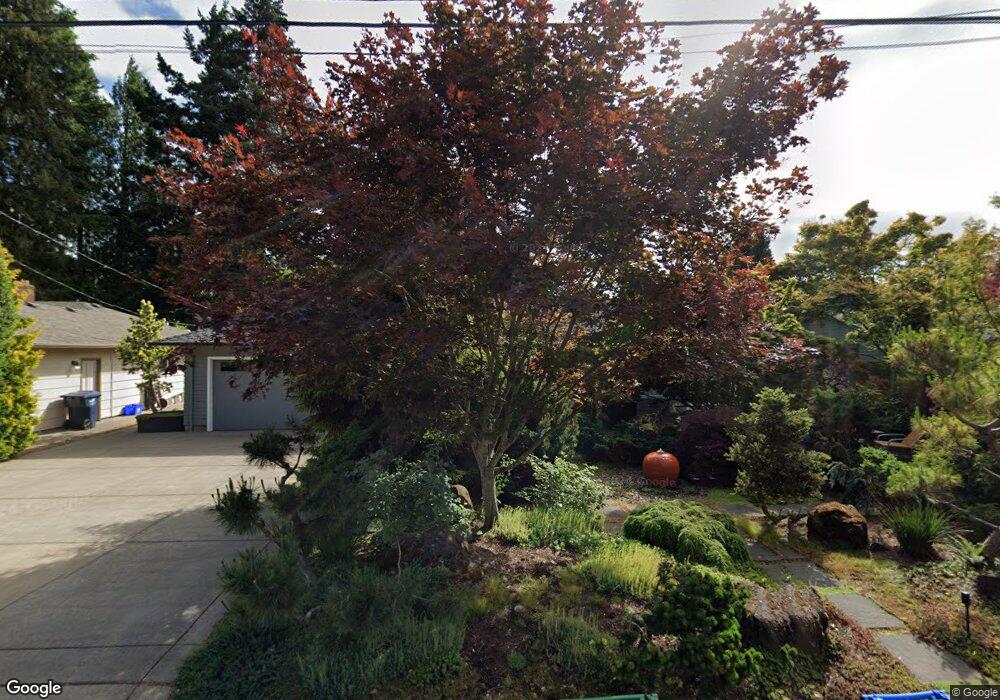
1457 Roundup Dr Eugene, OR 97401
Harlow NeighborhoodEstimated Value: $580,372 - $629,000
3
Beds
3
Baths
1,864
Sq Ft
$324/Sq Ft
Est. Value
About This Home
This home is located at 1457 Roundup Dr, Eugene, OR 97401 and is currently estimated at $604,843, approximately $324 per square foot. 1457 Roundup Dr is a home located in Lane County with nearby schools including Holt Elementary School, Monroe Middle School, and Sheldon High School.
Ownership History
Date
Name
Owned For
Owner Type
Purchase Details
Closed on
Aug 21, 2024
Sold by
Niles Gillian B
Bought by
Niles Family Trust and Niles
Current Estimated Value
Purchase Details
Closed on
Aug 24, 2007
Sold by
Niles David G and Niles Gillian B
Bought by
Niles Gillian B
Purchase Details
Closed on
May 14, 1998
Sold by
Tippets Jerry L and Tippets Melinda A
Bought by
Niles David G and Niles Gillian B
Home Financials for this Owner
Home Financials are based on the most recent Mortgage that was taken out on this home.
Original Mortgage
$159,950
Interest Rate
7.13%
Create a Home Valuation Report for This Property
The Home Valuation Report is an in-depth analysis detailing your home's value as well as a comparison with similar homes in the area
Home Values in the Area
Average Home Value in this Area
Purchase History
| Date | Buyer | Sale Price | Title Company |
|---|---|---|---|
| Niles Family Trust | -- | None Listed On Document | |
| Niles Gillian B | -- | Accommodation | |
| Niles David G | $168,400 | Fidelity National Title Ins |
Source: Public Records
Mortgage History
| Date | Status | Borrower | Loan Amount |
|---|---|---|---|
| Previous Owner | Niles David G | $159,950 |
Source: Public Records
Tax History
| Year | Tax Paid | Tax Assessment Tax Assessment Total Assessment is a certain percentage of the fair market value that is determined by local assessors to be the total taxable value of land and additions on the property. | Land | Improvement |
|---|---|---|---|---|
| 2025 | $5,800 | $297,659 | -- | -- |
| 2024 | $5,727 | $288,990 | -- | -- |
| 2023 | $5,727 | $280,573 | $0 | $0 |
| 2022 | $5,366 | $272,401 | $0 | $0 |
| 2021 | $5,040 | $264,467 | $0 | $0 |
| 2020 | $5,057 | $256,765 | $0 | $0 |
| 2019 | $4,884 | $249,287 | $0 | $0 |
| 2018 | $4,598 | $234,978 | $0 | $0 |
| 2017 | $4,392 | $234,978 | $0 | $0 |
| 2016 | $4,249 | $228,134 | $0 | $0 |
| 2015 | $4,105 | $221,489 | $0 | $0 |
| 2014 | $4,027 | $215,038 | $0 | $0 |
Source: Public Records
Map
Nearby Homes
- 2956 Willakenzie Rd
- 0 Sprig Ln Unit Lot 3
- 0 Sprig Ln Unit Lot 3 766109892
- 1491 Victorian Way
- 1564 Regency Dr
- 1090 Corydon St
- 1630 Ridgley Blvd
- 950 Coburg Rd
- 2580 Elysium Ave
- 2495 Jeppesen Acres Rd
- 1271 Arcadia Dr
- 2577 Elysium Ave
- 825 Waverly St
- 2872 Suffolk Ct
- 2746 Harlow Rd
- 2345 Pioneer Pike
- 3700 Babcock Ln Unit 106
- 600 Cherry Dr Unit 8
- 600 Cherry Dr Unit 3
- 820 Lariat Dr
- 1465 Roundup Dr
- 1449 Roundup Dr
- 1435 Saddle Place
- 1469 Spur Place
- 1470 Roundup Dr
- 1454 Roundup Dr
- 1486 Roundup Dr
- 1487 Roundup Dr
- 1409 Saddle Place
- 1418 Roundup Dr
- 1429 Saddle Place
- 1422 Fetlock Ct
- 1423 Saddle Place
- 1392 Roundup Dr
- 1488 Roundup Dr
- 1418 Fetlock Ct
- 1471 Spur Place
- 1371 Roundup Dr
- 1475 Spur Place
- 1493 Roundup Dr
Your Personal Tour Guide
Ask me questions while you tour the home.