146 Nichols Rd Cohasset, MA 02025
Estimated Value: $2,638,000 - $2,906,926
3
Beds
3
Baths
3,300
Sq Ft
$826/Sq Ft
Est. Value
About This Home
This home is located at 146 Nichols Rd, Cohasset, MA 02025 and is currently estimated at $2,726,982, approximately $826 per square foot. 146 Nichols Rd is a home located in Norfolk County with nearby schools including Joseph Osgood School, Deer Hill School, and Cohasset Middle School.
Ownership History
Date
Name
Owned For
Owner Type
Purchase Details
Closed on
Dec 23, 2020
Sold by
Short Janet G Est
Bought by
Rawson Michael R and Rawson Alicia A
Current Estimated Value
Purchase Details
Closed on
Sep 18, 1997
Sold by
Cullinane Paul E and Cullinane Janice L
Bought by
Rawson Michael R and Rawson Alicia A
Create a Home Valuation Report for This Property
The Home Valuation Report is an in-depth analysis detailing your home's value as well as a comparison with similar homes in the area
Home Values in the Area
Average Home Value in this Area
Purchase History
| Date | Buyer | Sale Price | Title Company |
|---|---|---|---|
| Rawson Michael R | -- | None Available | |
| Rawson Michael R | $725,000 | -- |
Source: Public Records
Mortgage History
| Date | Status | Borrower | Loan Amount |
|---|---|---|---|
| Previous Owner | Rawson Michael R | $388,000 | |
| Previous Owner | Rawson Michael R | $548,000 |
Source: Public Records
Tax History
| Year | Tax Paid | Tax Assessment Tax Assessment Total Assessment is a certain percentage of the fair market value that is determined by local assessors to be the total taxable value of land and additions on the property. | Land | Improvement |
|---|---|---|---|---|
| 2025 | $24,397 | $2,106,800 | $1,389,900 | $716,900 |
| 2024 | $24,422 | $2,006,700 | $1,323,500 | $683,200 |
| 2023 | $23,430 | $1,985,600 | $1,323,400 | $662,200 |
| 2022 | $23,948 | $1,906,700 | $1,323,400 | $583,300 |
| 2021 | $21,366 | $1,638,500 | $1,065,200 | $573,300 |
| 2020 | $19,764 | $1,523,800 | $1,065,200 | $458,600 |
| 2019 | $19,657 | $1,523,800 | $1,065,200 | $458,600 |
| 2018 | $19,489 | $1,523,800 | $1,065,200 | $458,600 |
| 2017 | $19,168 | $1,467,700 | $1,065,200 | $402,500 |
| 2016 | $18,904 | $1,467,700 | $1,065,200 | $402,500 |
| 2015 | $18,654 | $1,467,700 | $1,065,200 | $402,500 |
| 2014 | $18,405 | $1,467,700 | $1,065,200 | $402,500 |
Source: Public Records
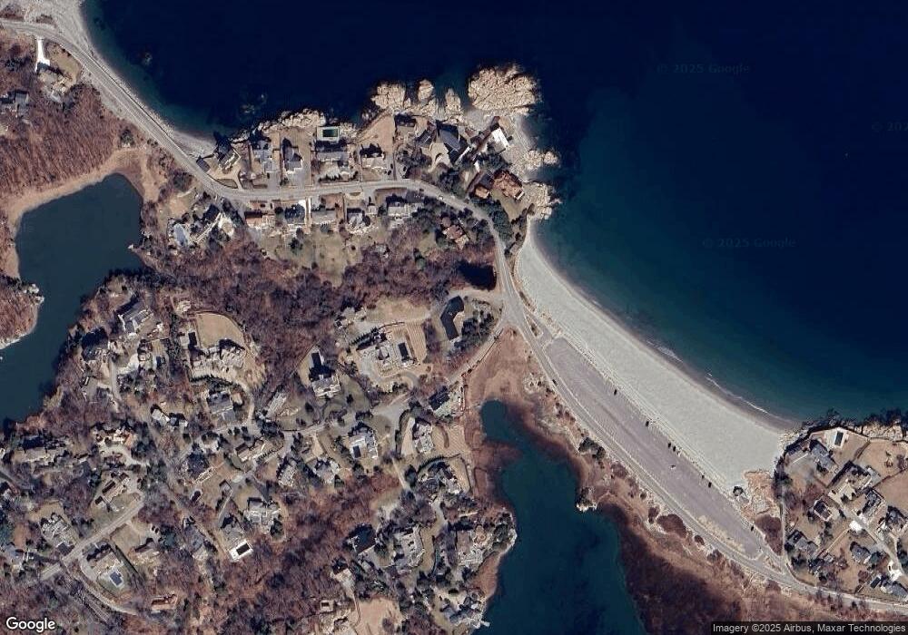
Map
Nearby Homes
- 104 Jerusalem Rd
- 25 Mohawk Way
- 50 Jerusalem Rd
- 128 Elm St Unit 211
- 4 Margin St Unit A
- 87 Elm St Unit 319
- 87 Elm St Unit 205
- 124 Elm St Unit 308
- 66 Summer St
- 560 Jerusalem Rd
- 572 Jerusalem Rd
- 147 S Main St
- 130 Forest Ave
- 172 S Main St
- 98 Black Horse Ln
- 32 Howe Rd
- 137 Fairoaks Ln
- 1 Bailey's Island Rd
- 30 Diab Ln Unit 8
- 96 Black Horse Ln
- 130 Nichols Rd
- 364 Atlantic Ave
- 137 Nichols Rd
- 137 Nichols Rd
- 368 Atlantic Ave
- 150 Nichols Rd
- 355 Atlantic Ave
- 374 Atlantic Ave
- 135 Nichols Rd
- 120 Nichols Rd
- 365 Atlantic Ave
- 357 Atlantic Ave
- 380 Atlantic Ave
- 373 Atlantic Ave
- 121 Nichols Rd
- 133 Nichols Rd
- 369 Atlantic Ave
- 390 Atlantic Ave
- 110 Nichols Rd
- 111 Nichols Rd
Your Personal Tour Guide
Ask me questions while you tour the home.