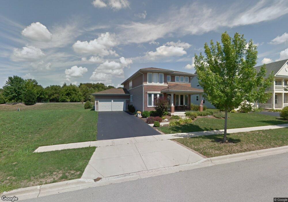
1468 Walnut Dr West Dundee, IL 60118
Estimated Value: $525,319 - $555,000
About This Home
This home is located at 1468 Walnut Dr, West Dundee, IL 60118 and is currently estimated at $541,080, approximately $184 per square foot. 1468 Walnut Dr is a home located in Kane County with nearby schools including Dundee Highlands Elementary School, Dundee Middle School, and Harry D Jacobs High School.
Ownership History
We collect this data history from publicly available records. To have your information removed, we recommend requesting removal directly through your county’s website.
Purchase Details
Home Financials for this Owner
Home Financials are based on the most recent Mortgage that was taken out on this home.Purchase Details
Home Financials for this Owner
Home Financials are based on the most recent Mortgage that was taken out on this home.Purchase Details
Purchase Details
Home Financials for this Owner
Home Financials are based on the most recent Mortgage that was taken out on this home.Home Values in the Area
Average Home Value in this Area
Purchase History
We collect this data history from publicly available records. To have your information removed, we recommend requesting removal directly through your county’s website.
| Date | Buyer | Sale Price | Title Company |
|---|---|---|---|
| $305,000 | Chicago Title Insurance Co | ||
| -- | Regent Title Insurance Agenc | ||
| -- | None Available | ||
| $347,500 | Ticor Title Insurance Co |
Mortgage History
We collect this data history from publicly available records. To have your information removed, we recommend requesting removal directly through your county’s website.
| Date | Status | Borrower | Loan Amount |
|---|---|---|---|
| Previous Owner | $299,475 | ||
| Previous Owner | $217,000 | ||
| Previous Owner | $182,500 |
Tax History
We collect this data history from publicly available records. To have your information removed, we recommend requesting removal directly through your county’s website.
| Year | Tax Paid | Tax Assessment Tax Assessment Total Assessment is a certain percentage of the fair market value that is determined by local assessors to be the total taxable value of land and additions on the property. | Land | Improvement |
|---|---|---|---|---|
| 2024 | $11,142 | $144,692 | $23,443 | $121,249 |
| 2023 | $10,456 | $130,189 | $21,093 | $109,096 |
| 2022 | $9,690 | $115,988 | $21,093 | $94,895 |
| 2021 | $9,354 | $109,516 | $19,916 | $89,600 |
| 2020 | $9,182 | $107,054 | $19,468 | $87,586 |
| 2019 | $9,516 | $108,369 | $18,481 | $89,888 |
| 2018 | $9,225 | $102,726 | $18,115 | $84,611 |
| 2017 | $8,789 | $96,096 | $16,946 | $79,150 |
| 2016 | $8,961 | $93,044 | $16,408 | $76,636 |
| 2015 | -- | $98,229 | $21,296 | $76,933 |
| 2014 | -- | $95,516 | $20,708 | $74,808 |
| 2013 | -- | $98,440 | $21,342 | $77,098 |
Map
- 1410 Grand Pointe Blvd
- 36W461 Binnie Rd
- 1403 Karen Dr
- 36W340 Huntley Rd
- 2653 Maple Cir Unit 2
- 6850 Huntley Rd
- lot 009 Huntley Rd
- 5718 Breezeland Rd
- 2433 Smalley Ct
- 3510 High Hill Cir Unit 6
- 2660 Chesire Ct
- 3102 Merrywell Ct
- 414 Spring Ct W Unit 13414
- 1601 Higgins Rd
- 2661 Chesire Ct
- 3355 Blue Ridge Dr
- 35W543 Miller Rd
- 1027 Shagbark Ln
- 1025 Shagbark Ln
- 1021 Shagbark Ln
- 1470 Walnut Dr
- 1464 Walnut Dr
- 2687 Spruce Dr
- 1408 Grand Pointe Blvd
- 2689 Spruce Dr
- 1460 Walnut Dr
- 1423 Karen Dr
- 1406 Grand Pointe Blvd
- 2691 Spruce Dr Unit 2
- 1458 Walnut Dr Unit 1
- 36W171 Sturgis Ct
- 1421 Karen Dr
- 1404 Grand Pointe Blvd
- 36W144 Sturgis Ct
- 2693 Spruce Dr Unit 1
- 2693 Spruce Dr
- 1409 Grand Pointe Blvd
- 9/10 lot Burning Oak Dr
- 1456 Walnut Dr Unit 1
- 1402 Grand Pointe Blvd
Ask me questions while you tour the home.