14720 Mount Calvert Rd Upper Marlboro, MD 20772
Croom NeighborhoodEstimated Value: $640,000 - $770,000
5
Beds
2
Baths
1,898
Sq Ft
$370/Sq Ft
Est. Value
About This Home
This home is located at 14720 Mount Calvert Rd, Upper Marlboro, MD 20772 and is currently estimated at $701,792, approximately $369 per square foot. 14720 Mount Calvert Rd is a home located in Prince George's County with nearby schools including Mattaponi Elementary School, Gwynn Park Middle School, and Frederick Douglass High School.
Ownership History
Date
Name
Owned For
Owner Type
Purchase Details
Closed on
Mar 26, 2018
Sold by
Derkazarian Paul A
Bought by
Derkazarin Paul A and Derkazarin Vidia
Current Estimated Value
Home Financials for this Owner
Home Financials are based on the most recent Mortgage that was taken out on this home.
Original Mortgage
$284,000
Outstanding Balance
$165,333
Interest Rate
4.43%
Mortgage Type
New Conventional
Estimated Equity
$536,459
Purchase Details
Closed on
Mar 17, 2008
Sold by
Cary Nicole Y
Bought by
Deutsch Bank Natl Trust Co Trustee
Purchase Details
Closed on
Nov 19, 1999
Sold by
Eckroad Thomas M and Eckroad Torgunn B
Bought by
Cary Nicole Y
Create a Home Valuation Report for This Property
The Home Valuation Report is an in-depth analysis detailing your home's value as well as a comparison with similar homes in the area
Home Values in the Area
Average Home Value in this Area
Purchase History
| Date | Buyer | Sale Price | Title Company |
|---|---|---|---|
| Derkazarin Paul A | -- | Timios Inc | |
| Deutsch Bank Natl Trust Co Trustee | $415,000 | -- | |
| Cary Nicole Y | $220,000 | -- |
Source: Public Records
Mortgage History
| Date | Status | Borrower | Loan Amount |
|---|---|---|---|
| Open | Derkazarin Paul A | $284,000 |
Source: Public Records
Tax History
| Year | Tax Paid | Tax Assessment Tax Assessment Total Assessment is a certain percentage of the fair market value that is determined by local assessors to be the total taxable value of land and additions on the property. | Land | Improvement |
|---|---|---|---|---|
| 2025 | $7,826 | $694,200 | $355,600 | $338,600 |
| 2024 | $7,826 | $600,467 | -- | -- |
| 2023 | $6,768 | $506,733 | $0 | $0 |
| 2022 | $5,670 | $413,000 | $145,700 | $267,300 |
| 2021 | $5,486 | $405,133 | $0 | $0 |
| 2020 | $5,422 | $397,267 | $0 | $0 |
| 2019 | $5,330 | $389,400 | $145,700 | $243,700 |
| 2018 | $5,527 | $367,900 | $0 | $0 |
| 2017 | $5,000 | $346,400 | $0 | $0 |
| 2016 | -- | $324,900 | $0 | $0 |
| 2015 | $3,972 | $322,067 | $0 | $0 |
| 2014 | $3,972 | $319,233 | $0 | $0 |
Source: Public Records
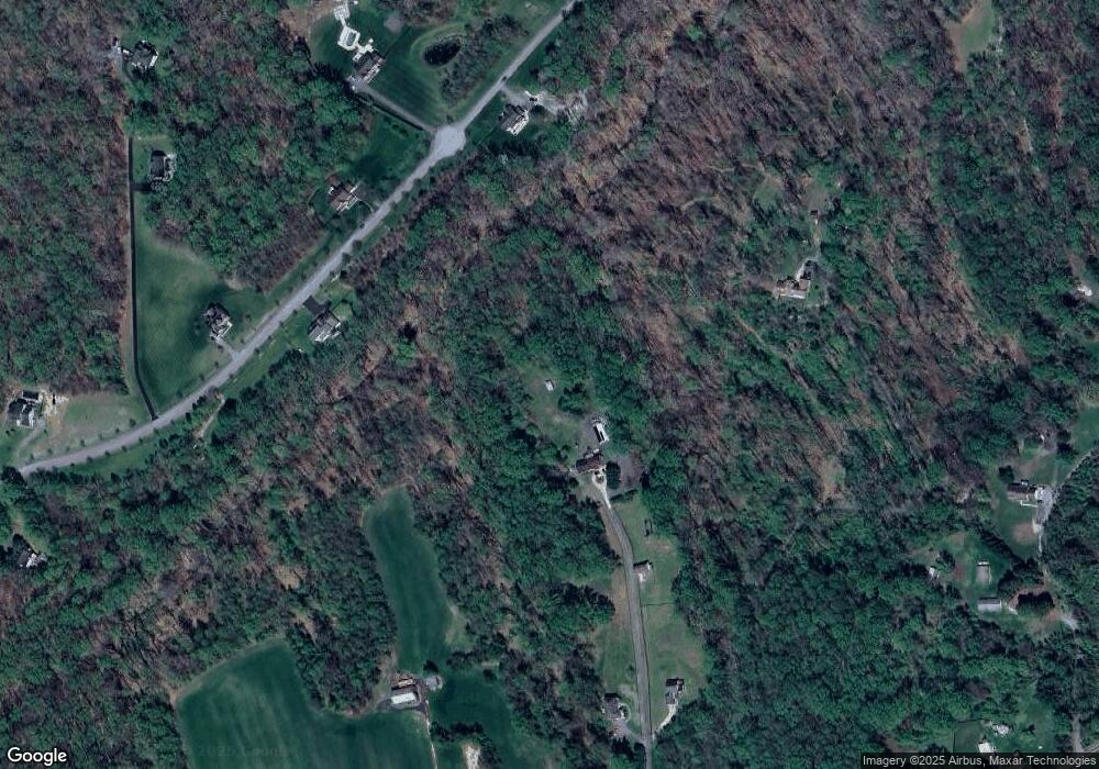
Map
Nearby Homes
- 8610 Croom Rd
- 8901 Brookridge Dr
- 8100 Croom Rd
- 14401 Windy Oak Cir
- 9316 Croom Rd
- 0 Croom Airport Rd Unit MDPG2148084
- 0 Chew Rd
- 9608 Croom Rd
- 12402 Old Colony Dr
- 6602 Green Branch Ln
- 12900 Sweet Christina Ct
- 0 Robert Crain Hwy Unit MDPG2140262
- 0 Robert Crain Hwy Unit MDPG2138350
- 12458 Old Colony Dr
- 9905 Croom Rd
- 12800 Center Park Way
- 7815 Croom Rd
- 8508 Rheims Ct
- 12710 Marlton Center Dr
- 10008 Thomas Brooke Place
- 14714 Mount Calvert Rd
- 14724 Mount Calvert Rd
- 14780 Mount Calvert Rd
- 8200 Hollow Tree Ln
- 8104 Hollow Tree Ln
- 8109 Hollow Tree Ln
- 14728 Mount Calvert Rd
- 8201 Hollow Tree Ln
- 14906 Mount Calvert Rd
- 14910 Mount Calvert Rd
- 14710 Mount Calvert Rd
- 14812 Mount Calvert Rd
- 8105 Hollow Tree Ln
- 14706 Mount Calvert Rd
- 14900 Mount Calvert Rd
- 14700 Mount Calvert Rd
- 14904 Mount Calvert Rd
- 8101 Hollow Tree Ln
- 8205 Hollow Tree Ln
- 0 Mt Calvert Rd Unit 1007139644
Your Personal Tour Guide
Ask me questions while you tour the home.