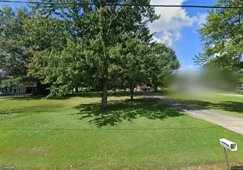
14740 State Route 301 Lagrange, OH 44050
LaGrange AreaEstimated Value: $353,000 - $494,000
About This Home
This home is located at 14740 State Route 301, Lagrange, OH 44050 and is currently estimated at $412,686, approximately $174 per square foot. 14740 State Route 301 is a home located in Lorain County with nearby schools including Keystone Elementary School, Keystone Middle School, and Keystone High School.
Ownership History
We collect this data history from publicly available records. To have your information removed, we recommend requesting removal directly through your county’s website.
Purchase Details
Home Financials for this Owner
Home Financials are based on the most recent Mortgage that was taken out on this home.Purchase Details
Home Values in the Area
Average Home Value in this Area
Purchase History
We collect this data history from publicly available records. To have your information removed, we recommend requesting removal directly through your county’s website.
| Date | Buyer | Sale Price | Title Company |
|---|---|---|---|
| $300,000 | None Listed On Document | ||
| -- | -- | ||
| -- | -- |
Mortgage History
We collect this data history from publicly available records. To have your information removed, we recommend requesting removal directly through your county’s website.
| Date | Status | Borrower | Loan Amount |
|---|---|---|---|
| Open | $186,500 |
Tax History
We collect this data history from publicly available records. To have your information removed, we recommend requesting removal directly through your county’s website.
| Year | Tax Paid | Tax Assessment Tax Assessment Total Assessment is a certain percentage of the fair market value that is determined by local assessors to be the total taxable value of land and additions on the property. | Land | Improvement |
|---|---|---|---|---|
| 2024 | $3,769 | $90,321 | $19,817 | $70,504 |
| 2023 | $4,033 | $80,805 | $19,222 | $61,583 |
| 2022 | $4,004 | $80,805 | $19,222 | $61,583 |
| 2021 | $4,005 | $80,805 | $19,222 | $61,583 |
| 2020 | $3,542 | $63,680 | $15,150 | $48,530 |
| 2019 | $3,520 | $63,680 | $15,150 | $48,530 |
| 2018 | $3,465 | $63,680 | $15,150 | $48,530 |
| 2017 | $3,492 | $60,600 | $16,030 | $44,570 |
| 2016 | $3,469 | $60,600 | $16,030 | $44,570 |
| 2015 | $3,463 | $60,600 | $16,030 | $44,570 |
| 2014 | $2,863 | $57,170 | $15,130 | $42,040 |
| 2013 | $2,776 | $57,170 | $15,130 | $42,040 |
Map
- 14838 State Route 301
- 14446 State Route 301
- 15191 Whitehead Rd
- 40175 Banks Rd
- 15494 Wheeler Rd
- 808 Buckingham Dr
- 16246 State Route 301
- 800 Buckingham Dr
- 187 Loperwood Ln
- 548 William St
- 548 Appomattox Ct
- 611 Rundle St
- 604 Rundle St
- 509 William St
- 119 Harmon Ct
- 180 Mallard Creek Run
- 315 West St
- 150 Railroad St
- 216 Pleasant St
- 110 Railroad St
- 14720 State Route 301
- 14762 State Route 301
- 14700 State Route 301
- 14802 State Route 301
- 14737 State Route 301
- 14680 State Route 301
- 14773 State Route 301
- 14680 Rear Land Rd
- 14791 State Route 301
- 14662 State Route 301
- 14809 State Route 301
- 14662 Lagrange Rd
- 14809 Lagrange Rd
- 14697 State Route 301
- 14871 State Route 301
- 14673 State Route 301
- 14907 State Route 301
- 14588 Lagrange Rd
- 14623 State Route 301
- 14588 State Route 301
Ask me questions while you tour the home.