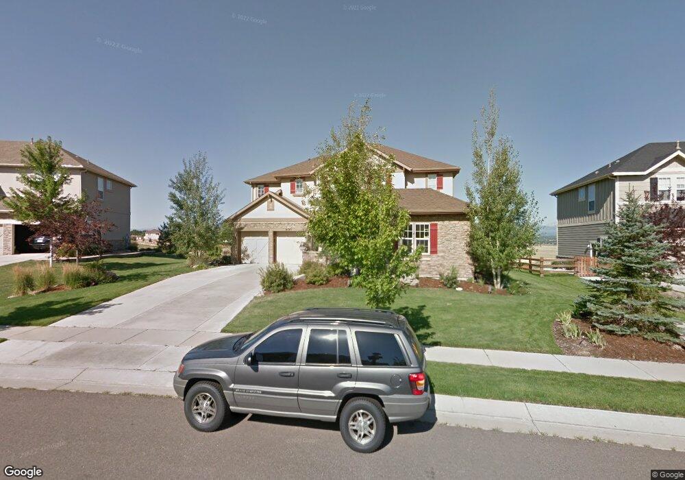
14743 Snowcrest Dr Broomfield, CO 80023
North Broomfield NeighborhoodEstimated Value: $1,365,494 - $1,501,000
About This Home
This home is located at 14743 Snowcrest Dr, Broomfield, CO 80023 and is currently estimated at $1,445,624, approximately $404 per square foot. 14743 Snowcrest Dr is a home located in Broomfield County with nearby schools including Coyote Ridge Elementary School, Westlake Middle School, and Legacy High School.
Ownership History
We collect this data history from publicly available records. To have your information removed, we recommend requesting removal directly through your county’s website.
Purchase Details
Home Financials for this Owner
Home Financials are based on the most recent Mortgage that was taken out on this home.Home Values in the Area
Average Home Value in this Area
Purchase History
We collect this data history from publicly available records. To have your information removed, we recommend requesting removal directly through your county’s website.
| Date | Buyer | Sale Price | Title Company |
|---|---|---|---|
| $657,284 | Land Title |
Mortgage History
We collect this data history from publicly available records. To have your information removed, we recommend requesting removal directly through your county’s website.
| Date | Status | Borrower | Loan Amount |
|---|---|---|---|
| Open | $150,000 |
Tax History
We collect this data history from publicly available records. To have your information removed, we recommend requesting removal directly through your county’s website.
| Year | Tax Paid | Tax Assessment Tax Assessment Total Assessment is a certain percentage of the fair market value that is determined by local assessors to be the total taxable value of land and additions on the property. | Land | Improvement |
|---|---|---|---|---|
| 2026 | $13,007 | $96,580 | $26,320 | $70,260 |
| 2025 | $12,269 | $95,150 | $25,930 | $69,220 |
| 2024 | $12,269 | $94,190 | $24,950 | $69,240 |
| 2023 | $12,183 | $101,530 | $26,900 | $74,630 |
| 2022 | $9,192 | $69,920 | $18,310 | $51,610 |
| 2021 | $9,474 | $71,940 | $18,840 | $53,100 |
| 2020 | $8,770 | $66,620 | $17,020 | $49,600 |
| 2019 | $8,773 | $67,090 | $17,140 | $49,950 |
| 2018 | $8,276 | $62,030 | $15,440 | $46,590 |
| 2017 | $8,711 | $68,580 | $17,070 | $51,510 |
| 2016 | $8,799 | $61,420 | $13,130 | $48,290 |
| 2015 | $8,798 | $55,030 | $13,130 | $41,900 |
| 2014 | $8,160 | $55,030 | $13,130 | $41,900 |
Map
- 14641 Prairie Sky Ln
- 14794 Stoney Creek Way
- 14954 Silver Feather Cir
- 4795 Raven Run
- 14941 Nighthawk Ln
- 4859 Raven Run
- 4709 Raven Run
- 5168 Silver Feather Cir
- 12756 Polo Place
- 4721 Raven Run
- 4725 Raven Run
- 4740 Raven Run
- 14578 Benton St
- 14562 Benton St
- 5115 Pasadena Way
- 4030 W 149th Ave
- 5126 Pasadena Way
- 14795 Fenton St
- 4400 Nelson Dr
- 14237 Craftsman Way Unit 14237
- 14753 Snowcrest Dr
- 14733 Snowcrest Dr
- 4820 Mountain Gold Run
- 14763 Snowcrest Dr
- 14723 Sorrel Dr
- 4821 Mountain Gold Run
- 14730 Snowcrest Dr
- 14713 Sorrel Dr
- 4810 Mountain Gold Run
- 14803 Snowcrest Dr
- 4811 Mountain Gold Run
- 14720 Sorrel Run
- 4800 Mountain Gold Run
- 14802 Snowcrest Dr
- 14703 Sorrel Dr
- 5003 Silver Feather Way
- 5004 Silver Feather Way
- 14701 Sorrel Run
- 14710 Sorrel Run
- 14813 Snowcrest Dr
Ask me questions while you tour the home.