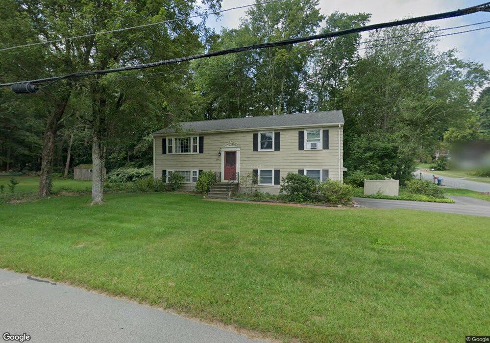
148 Adams St Holliston, MA 01746
Estimated Value: $561,303 - $709,000
3
Beds
2
Baths
1,104
Sq Ft
$578/Sq Ft
Est. Value
About This Home
This home is located at 148 Adams St, Holliston, MA 01746 and is currently estimated at $637,576, approximately $577 per square foot. 148 Adams St is a home located in Middlesex County with nearby schools including Placentino Elementary School, Miller Elementary School, and Robert H. Adams Middle School.
Ownership History
Date
Name
Owned For
Owner Type
Purchase Details
Closed on
Nov 16, 1994
Sold by
Vincent Edward A and Vincent Barbara C
Bought by
Reseska Andrew and Reseska Adelaide M
Current Estimated Value
Home Financials for this Owner
Home Financials are based on the most recent Mortgage that was taken out on this home.
Original Mortgage
$130,000
Interest Rate
8.9%
Mortgage Type
Purchase Money Mortgage
Create a Home Valuation Report for This Property
The Home Valuation Report is an in-depth analysis detailing your home's value as well as a comparison with similar homes in the area
Home Values in the Area
Average Home Value in this Area
Purchase History
| Date | Buyer | Sale Price | Title Company |
|---|---|---|---|
| Reseska Andrew | $175,000 | -- | |
| Reseska Andrew | $175,000 | -- |
Source: Public Records
Mortgage History
| Date | Status | Borrower | Loan Amount |
|---|---|---|---|
| Open | Reseska Andrew | $126,600 | |
| Closed | Reseska Andrew | $130,000 | |
| Previous Owner | Reseska Andrew | $31,700 |
Source: Public Records
Tax History
| Year | Tax Paid | Tax Assessment Tax Assessment Total Assessment is a certain percentage of the fair market value that is determined by local assessors to be the total taxable value of land and additions on the property. | Land | Improvement |
|---|---|---|---|---|
| 2025 | $8,014 | $547,000 | $270,400 | $276,600 |
| 2024 | $8,038 | $533,700 | $270,400 | $263,300 |
| 2023 | $7,042 | $457,300 | $252,300 | $205,000 |
| 2022 | $7,100 | $408,500 | $252,300 | $156,200 |
| 2021 | $6,697 | $375,200 | $219,000 | $156,200 |
| 2020 | $6,464 | $342,900 | $195,800 | $147,100 |
| 2019 | $6,321 | $335,700 | $190,200 | $145,500 |
| 2018 | $6,268 | $335,700 | $190,200 | $145,500 |
| 2017 | $8,622 | $326,000 | $182,500 | $143,500 |
| 2016 | $5,693 | $303,000 | $159,500 | $143,500 |
| 2015 | $5,485 | $283,000 | $137,000 | $146,000 |
Source: Public Records
Map
Nearby Homes
- LOT 8 Pond View
- 20 Glacier Way Unit 20
- 429 South St
- 21 Carp Rd
- 13 Karen Cir
- 190-194 E Main St
- Lot 2 Hanlon Rd
- 30 Whispering Ln
- 3 Nobscott Rd
- 4 Hawthorne Path Unit 4
- 28 Fisher St
- 56 Fisher St
- 96 Walden Way Unit 52
- 4 Waterfall Ln
- 4 Bullard Cir
- 3 Mohegan Cir
- 8 Florence St
- 48 Hemlock Dr
- 11 Aris Way
- 42 Fisher St
Your Personal Tour Guide
Ask me questions while you tour the home.