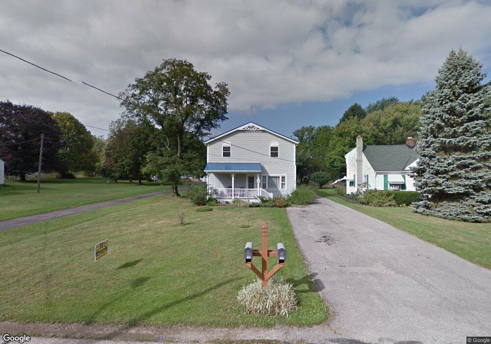
148 Lee Rd Painesville, OH 44077
Estimated Value: $233,000 - $338,000
4
Beds
4
Baths
1,519
Sq Ft
$177/Sq Ft
Est. Value
About This Home
This home is located at 148 Lee Rd, Painesville, OH 44077 and is currently estimated at $268,426, approximately $176 per square foot. 148 Lee Rd is a home located in Lake County with nearby schools including Henry F. Lamuth Middle School, Riverside Junior/Senior High School, and Summit Academy Community School - Painesville.
Ownership History
Date
Name
Owned For
Owner Type
Purchase Details
Closed on
Aug 18, 2017
Bought by
Davis Andrew T
Current Estimated Value
Home Financials for this Owner
Home Financials are based on the most recent Mortgage that was taken out on this home.
Original Mortgage
$95,950
Outstanding Balance
$79,330
Interest Rate
3.89%
Estimated Equity
$189,096
Purchase Details
Closed on
Mar 31, 1986
Bought by
Davis Franklin L
Create a Home Valuation Report for This Property
The Home Valuation Report is an in-depth analysis detailing your home's value as well as a comparison with similar homes in the area
Home Values in the Area
Average Home Value in this Area
Purchase History
| Date | Buyer | Sale Price | Title Company |
|---|---|---|---|
| Davis Andrew T | $101,000 | -- | |
| Davis Franklin L | -- | -- |
Source: Public Records
Mortgage History
| Date | Status | Borrower | Loan Amount |
|---|---|---|---|
| Open | Davis Andrew T | $95,950 | |
| Closed | Davis Andrew T | -- |
Source: Public Records
Tax History
| Year | Tax Paid | Tax Assessment Tax Assessment Total Assessment is a certain percentage of the fair market value that is determined by local assessors to be the total taxable value of land and additions on the property. | Land | Improvement |
|---|---|---|---|---|
| 2025 | -- | $68,930 | $11,980 | $56,950 |
| 2024 | -- | $68,930 | $11,980 | $56,950 |
| 2023 | $5,411 | $49,660 | $8,660 | $41,000 |
| 2022 | $2,957 | $49,660 | $8,660 | $41,000 |
| 2021 | $2,967 | $49,660 | $8,660 | $41,000 |
| 2020 | $2,924 | $43,190 | $7,540 | $35,650 |
| 2019 | $2,946 | $43,190 | $7,540 | $35,650 |
| 2018 | $2,955 | $42,500 | $5,450 | $37,050 |
| 2017 | $2,994 | $42,500 | $5,450 | $37,050 |
| 2016 | $2,641 | $42,500 | $5,450 | $37,050 |
| 2015 | $2,433 | $42,500 | $5,450 | $37,050 |
| 2014 | $2,473 | $42,500 | $5,450 | $37,050 |
| 2013 | $2,417 | $42,500 | $5,450 | $37,050 |
Source: Public Records
Map
Nearby Homes
- 575 Park Rd
- 592 Sand Trap Cir
- 1598 Bogie Ln
- 399 Sandtrap Cir
- 4 Lyndale Dr
- 1865 Marsh Ln Unit 1865
- 396 Park Rd
- 2041 Marsh Ln Unit 2041
- 300 Manhattan Pkwy
- V/L Morgan Dr
- 140 Parkhall Dr
- 594 Prestwick Path
- 264 Park Rd
- 94 Bowhall Rd
- 783 Outrigger Cove
- 97 Park Rd
- 67 Tanners Farm Dr
- 983 Tradewinds Cove Unit 4A
- 972 Tradewinds Cove Unit 5D
- 1638 Madison Ave
Your Personal Tour Guide
Ask me questions while you tour the home.