14872 2600 Rd Cedaredge, CO 81413
Estimated Value: $213,087 - $431,000
About This Home
This home is located at 14872 2600 Rd, Cedaredge, CO 81413 and is currently estimated at $371,272. 14872 2600 Rd is a home located in Delta County with nearby schools including Cedaredge Elementary School, Cedaredge Middle School, and Cedaredge High School.
Ownership History
We collect this data history from publicly available records. To have your information removed, we recommend requesting removal directly through your county’s website.
Purchase Details
Purchase Details
Purchase Details
Purchase Details
Purchase Details
Purchase History
We collect this data history from publicly available records. To have your information removed, we recommend requesting removal directly through your county’s website.
| Date | Buyer | Sale Price | Title Company |
|---|---|---|---|
| $235,000 | Heritage Title Co | ||
| -- | None Available | ||
| $142,000 | -- | ||
| $140,000 | -- | ||
| $140,000 | -- |
Tax History
We collect this data history from publicly available records. To have your information removed, we recommend requesting removal directly through your county’s website.
| Year | Tax Paid | Tax Assessment Tax Assessment Total Assessment is a certain percentage of the fair market value that is determined by local assessors to be the total taxable value of land and additions on the property. | Land | Improvement |
|---|---|---|---|---|
| 2025 | $1,003 | $16,882 | $1,687 | $15,195 |
| 2024 | $1,172 | $19,062 | $1,608 | $17,454 |
| 2023 | $1,172 | $19,062 | $1,608 | $17,454 |
| 2022 | $937 | $15,685 | $1,468 | $14,217 |
| 2021 | $997 | $17,108 | $1,613 | $15,495 |
| 2020 | $987 | $16,698 | $1,380 | $15,318 |
| 2019 | $990 | $16,698 | $1,380 | $15,318 |
| 2018 | $511 | $8,298 | $1,739 | $6,559 |
| 2017 | $511 | $8,298 | $1,739 | $6,559 |
| 2016 | $410 | $7,416 | $1,435 | $5,981 |
| 2014 | -- | $7,799 | $977 | $6,822 |
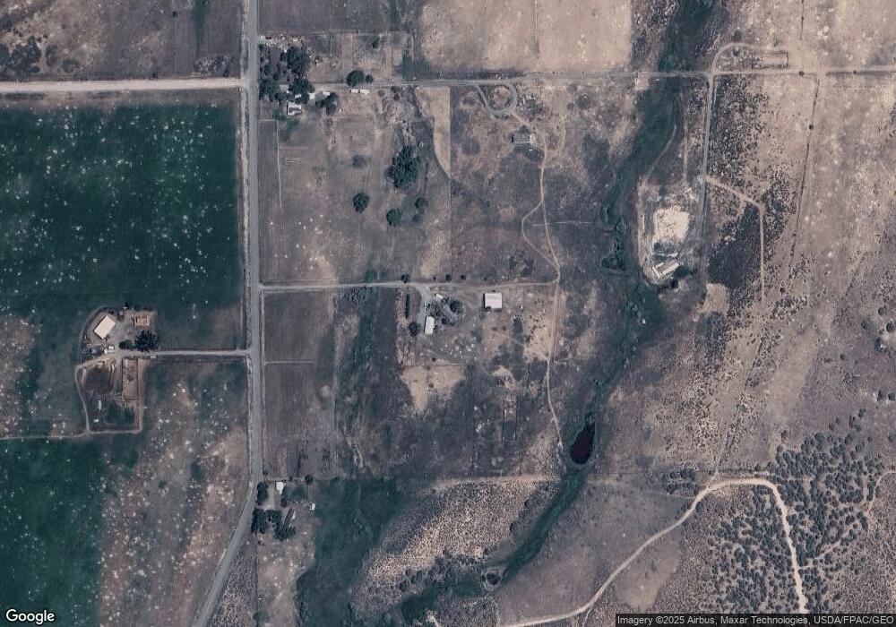
Map
- 15484 Peach Rd
- 15736 2600 Rd
- TBD Lot 14 2625 Ln
- TBD Lot 7 Stardust Ln
- TBD Lot 8 Stardust Ln
- TBD Lot 4 Stardust Ln
- TBD Lot 9 Stardust Ln
- 14421 Rimrock Rd
- 15887 Stardust Ln
- TBD Lot 11 2625 Ln
- 26313 Cedar Mesa Rd
- 15369 2525 Rd
- Lot 3 Rimrock Rd
- 16216 2600 Rd
- 15842 Heavens View Rd
- 16331 2550 Rd
- 14617 2800 Rd
- Lot 1 2500 Rd
- 16709 Cedar Ln
- 14780 2800th Rd
- 14990 2600 Rd
- 14994 2600 Rd
- 14986 2600 Rd
- 14831 2600 Rd
- 15034 2600 Rd
- 2600 Road Tbd Peach Rd
- 2600 Road Tbd Peach Rd Unit 2600 Road and Peach
- 15130 2600 Rd
- 15079 2600 Rd
- 15079 2600 Rd Unit 2600 Road and Peach
- 15195 2600 Rd
- 15328 2600 Rd
- 26622 Paintbrush Rd
- 26096 Paintbrush Rd
- 15332 2600 Rd
- 2600 Rd
- 15423 2600 Rd
- 26095 Paintbrush Rd
- 26247 Paintbrush Rd
- 15462 2600 Rd
Ask me questions while you tour the home.