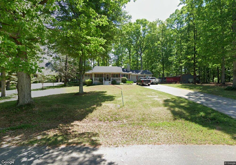
149 Davidson Cir Griffin, GA 30223
Spalding County NeighborhoodEstimated Value: $236,000 - $272,000
About This Home
This home is located at 149 Davidson Cir, Griffin, GA 30223 and is currently estimated at $252,742, approximately $120 per square foot. 149 Davidson Cir is a home located in Spalding County with nearby schools including Cowan Road Elementary School, Cowan Road Middle School, and Griffin High School.
Ownership History
We collect this data history from publicly available records. To have your information removed, we recommend requesting removal directly through your county’s website.
Purchase Details
Home Financials for this Owner
Home Financials are based on the most recent Mortgage that was taken out on this home.Purchase Details
Purchase Details
Purchase Details
Home Values in the Area
Average Home Value in this Area
Purchase History
We collect this data history from publicly available records. To have your information removed, we recommend requesting removal directly through your county’s website.
| Date | Buyer | Sale Price | Title Company |
|---|---|---|---|
| -- | -- | ||
| $75,000 | -- | ||
| $67,500 | -- | ||
| $7,200 | -- |
Mortgage History
We collect this data history from publicly available records. To have your information removed, we recommend requesting removal directly through your county’s website.
| Date | Status | Borrower | Loan Amount |
|---|---|---|---|
| Previous Owner | $141,941 | ||
| Closed | -- |
Tax History
We collect this data history from publicly available records. To have your information removed, we recommend requesting removal directly through your county’s website.
| Year | Tax Paid | Tax Assessment Tax Assessment Total Assessment is a certain percentage of the fair market value that is determined by local assessors to be the total taxable value of land and additions on the property. | Land | Improvement |
|---|---|---|---|---|
| 2025 | $2,418 | $82,491 | $4,800 | $77,691 |
| 2024 | $2,396 | $82,491 | $4,800 | $77,691 |
| 2023 | $2,886 | $68,164 | $4,800 | $63,364 |
| 2022 | $2,041 | $57,935 | $4,000 | $53,935 |
| 2021 | $1,787 | $50,947 | $4,000 | $46,947 |
| 2020 | $1,603 | $45,731 | $4,000 | $41,731 |
| 2019 | $896 | $25,890 | $3,000 | $22,890 |
| 2018 | $848 | $23,996 | $3,000 | $20,996 |
| 2017 | $825 | $23,996 | $3,000 | $20,996 |
| 2016 | $840 | $23,996 | $3,000 | $20,996 |
| 2015 | $866 | $23,996 | $3,000 | $20,996 |
| 2014 | $883 | $23,996 | $3,000 | $20,996 |
Map
- 2487 Birdie Rd
- 129 Diane Dr
- 40 Jim Goodson Rd
- 1019 Oakridge Dr
- 1314 Cheatham Rd
- 3632 Fayetteville Rd
- 250 County Line Church Rd
- 288 David Elder Rd
- 240 Field Rd
- 1100 Stiles Crossing Unit 41
- 1102 Stiles Crossing Unit 42
- 1330 Steele Rd
- 214 Patriots Way
- 955 Cheatham Rd
- 103 Hammond Rd
- 1949 Bonnie Ridge Dr
- 505 New Salem Rd
- 51 Creekwood Dr
- 109 Laketrail Dr
- 1110 Burgundy Dr
- 151 Davidson Cir
- 145 Davidson Cir
- 155 Davidson Cir Unit 1
- 141 Davidson Cir
- 144 Davidson Cir
- 152 Davidson Cir
- 159 Davidson Cir Unit 1
- 134 Davidson Cir
- 137 Davidson Cir
- 137 Davidson Cir Unit 1
- 2579 Birdie Rd
- 163 Davidson Cir
- 133 Davidson Cir
- 122 Davidson Cir
- 2511 Birdie Rd
- 2505 Birdie Rd
- 2499 Birdie Rd
- 167 Davidson Cir Unit 1
- 118 Davidson Cir
- 129 Davidson Cir
Ask me questions while you tour the home.