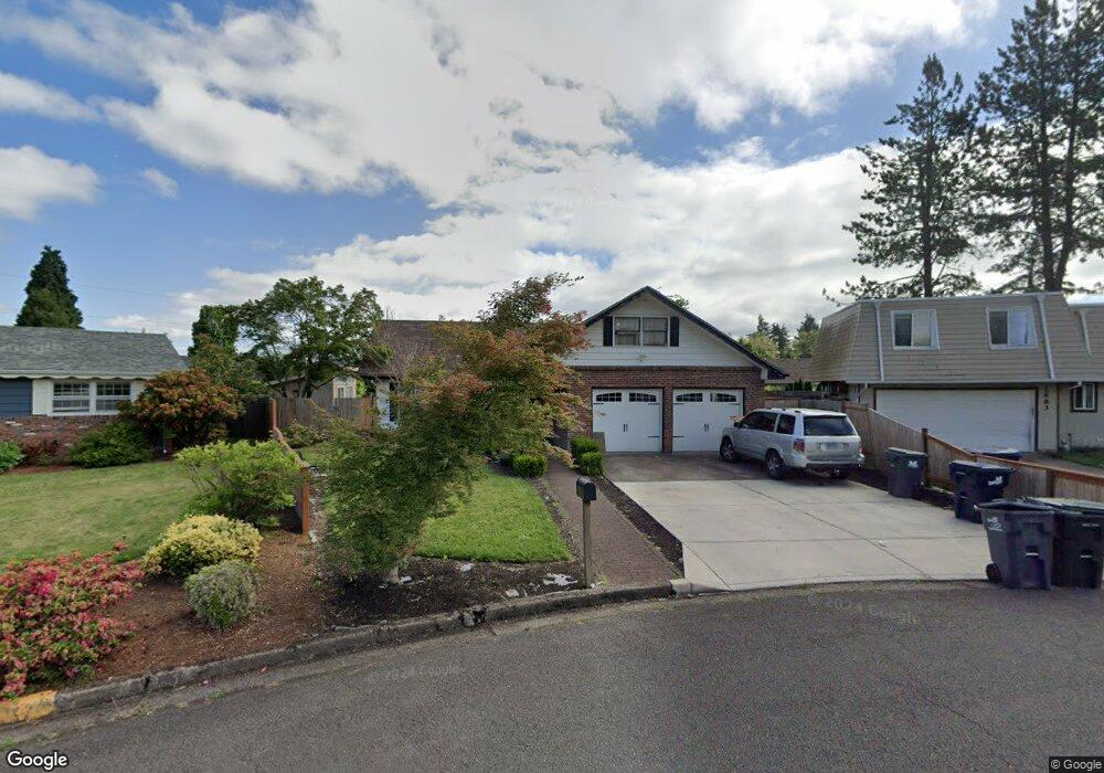
1495 Bar M Dr Eugene, OR 97401
Harlow NeighborhoodEstimated Value: $621,000 - $760,000
About This Home
This home is located at 1495 Bar M Dr, Eugene, OR 97401 and is currently estimated at $694,974, approximately $253 per square foot. 1495 Bar M Dr is a home located in Lane County with nearby schools including Holt Elementary School, Monroe Middle School, and Sheldon High School.
Ownership History
We collect this data history from publicly available records. To have your information removed, we recommend requesting removal directly through your county’s website.
Purchase Details
Purchase Details
Purchase Details
Home Financials for this Owner
Home Financials are based on the most recent Mortgage that was taken out on this home.Home Values in the Area
Average Home Value in this Area
Purchase History
We collect this data history from publicly available records. To have your information removed, we recommend requesting removal directly through your county’s website.
| Date | Buyer | Sale Price | Title Company |
|---|---|---|---|
| -- | None Available | ||
| $145,225 | -- | ||
| $189,000 | Fidelity National Title Ins |
Mortgage History
We collect this data history from publicly available records. To have your information removed, we recommend requesting removal directly through your county’s website.
| Date | Status | Borrower | Loan Amount |
|---|---|---|---|
| Previous Owner | $151,200 |
Tax History
We collect this data history from publicly available records. To have your information removed, we recommend requesting removal directly through your county’s website.
| Year | Tax Paid | Tax Assessment Tax Assessment Total Assessment is a certain percentage of the fair market value that is determined by local assessors to be the total taxable value of land and additions on the property. | Land | Improvement |
|---|---|---|---|---|
| 2025 | $6,316 | $324,146 | ||
| 2024 | $6,237 | $314,705 | ||
| 2023 | $6,237 | $305,539 | $0 | $0 |
| 2022 | $5,843 | $296,640 | $0 | $0 |
| 2021 | $5,488 | $288,000 | $0 | $0 |
| 2020 | $5,507 | $279,612 | $0 | $0 |
| 2019 | $5,319 | $271,468 | $0 | $0 |
| 2018 | $5,007 | $255,885 | $0 | $0 |
| 2017 | $4,783 | $255,885 | $0 | $0 |
| 2016 | $4,664 | $248,432 | $0 | $0 |
| 2015 | $4,530 | $241,196 | $0 | $0 |
| 2014 | $4,439 | $234,171 | $0 | $0 |
Map
- 0 Sprig Ln Unit Lot 3
- 0 Sprig Ln Unit Lot 3 766109892
- 1665 Adkins St
- 1625 Victorian Way
- 1294 Satre St
- 1639 Victorian Way
- 1794 Kings North St
- 1564 Regency Dr
- 1344 Regency Dr
- 3394 Hampton Way
- 3351 Rosemont Way
- 1271 Arcadia Dr
- 2725 Mallory Ln
- 2230 Azure St
- 885 Randall St
- 1008 Coburg Rd
- 2625 Elysium Ave
- 2798 Firwood Way
- 1090 Corydon St
- 2240 Valhalla St
- 1483 Bar M Dr
- 1509 Bar M Dr
- 1506 Martingale St
- 1510 Martingale St
- 1500 Martingale St
- 1488 Martingale St
- 1479 Bar M Dr
- 1520 Martingale St
- 1486 Martingale St
- 1523 Bar M Dr
- 1496 Martingale St
- 1508 Bar M Dr
- 1542 Martingale St
- 1465 Bar M Dr
- 1480 Martingale St
- 1572 Thornberry St
- 1537 Bar M Dr
- 1564 Martingale St
- 1573 Thornberry St
- 1452 Martingale St
Ask me questions while you tour the home.