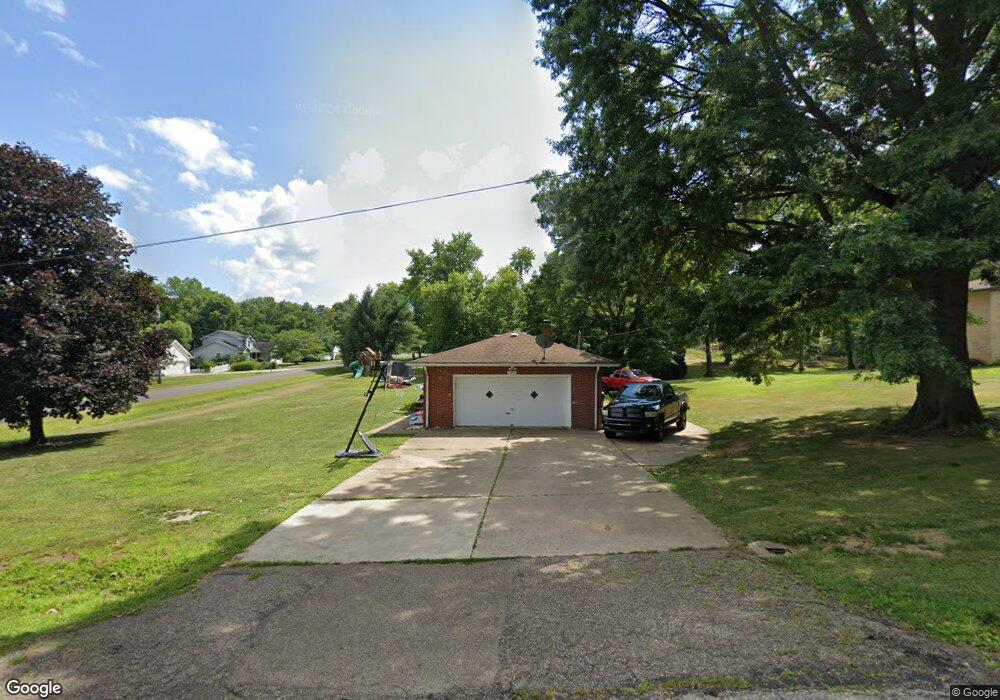
1495 Mowrer St Wooster, OH 44691
Estimated Value: $237,000 - $296,000
3
Beds
3
Baths
1,303
Sq Ft
$200/Sq Ft
Est. Value
About This Home
This home is located at 1495 Mowrer St, Wooster, OH 44691 and is currently estimated at $260,031, approximately $199 per square foot. 1495 Mowrer St is a home located in Wayne County with nearby schools including Triway High School, St Mary Of Immaculate Conception School, and Montessori School of Wooster.
Ownership History
Date
Name
Owned For
Owner Type
Purchase Details
Closed on
Sep 9, 2010
Sold by
Deutsche Bank National Trust Company
Bought by
Fiscus Angela C
Current Estimated Value
Home Financials for this Owner
Home Financials are based on the most recent Mortgage that was taken out on this home.
Original Mortgage
$87,975
Outstanding Balance
$56,294
Interest Rate
4.3%
Mortgage Type
New Conventional
Estimated Equity
$203,737
Purchase Details
Closed on
May 26, 2010
Sold by
Sheriff Of Wayne County, Ohio Thomas G Maurer
Bought by
Deutsche Bank National Trust Company
Purchase Details
Closed on
May 13, 2010
Sold by
Sheriff Of Wayne County, Ohio Thomas G Maurer
Bought by
Deutsche Bank National Trust Company
Create a Home Valuation Report for This Property
The Home Valuation Report is an in-depth analysis detailing your home's value as well as a comparison with similar homes in the area
Home Values in the Area
Average Home Value in this Area
Purchase History
| Date | Buyer | Sale Price | Title Company |
|---|---|---|---|
| Fiscus Angela C | $85,000 | None Available | |
| Deutsche Bank National Trust Company | $72,000 | -- | |
| Deutsche Bank National Trust Company | $72,000 | -- |
Source: Public Records
Mortgage History
| Date | Status | Borrower | Loan Amount |
|---|---|---|---|
| Open | Fiscus Angela C | $87,975 |
Source: Public Records
Tax History
| Year | Tax Paid | Tax Assessment Tax Assessment Total Assessment is a certain percentage of the fair market value that is determined by local assessors to be the total taxable value of land and additions on the property. | Land | Improvement |
|---|---|---|---|---|
| 2025 | $2,197 | $60,470 | $16,320 | $44,150 |
| 2024 | $2,197 | $60,470 | $16,320 | $44,150 |
| 2023 | $2,614 | $120,940 | $32,640 | $88,300 |
| 2022 | $1,960 | $48,380 | $13,060 | $35,320 |
| 2021 | $1,830 | $48,380 | $13,060 | $35,320 |
| 2020 | $1,852 | $48,380 | $13,060 | $35,320 |
| 2019 | $1,556 | $39,180 | $10,010 | $29,170 |
| 2018 | $1,584 | $39,180 | $10,010 | $29,170 |
| 2017 | $1,578 | $39,180 | $10,010 | $29,170 |
| 2016 | $1,539 | $37,790 | $10,010 | $27,780 |
| 2015 | $1,504 | $37,790 | $10,010 | $27,780 |
| 2014 | $1,505 | $37,790 | $10,010 | $27,780 |
| 2013 | $1,544 | $37,200 | $10,720 | $26,480 |
Source: Public Records
Map
Nearby Homes
- 1350 Blachleyville Rd
- 0 Heyl Rd
- 5 E Melrose Unit 5
- 140 Ohio St
- 219 Mulberry St
- 2430 S Columbus Rd
- 323 N Grant St
- 227 N Walnut St
- 230 Clark Ave
- 2535 Millersburg Rd
- 4859 Prosperity Way
- 223 E Larwill St
- 423 N Market St
- 328 W Bowman St
- 419 Nold Ave
- 331 Derr Ave
- 753 N Grant St
- 708 N Bever St
- 3919 Pheasant Run
- 900 Quinby Ave
Your Personal Tour Guide
Ask me questions while you tour the home.