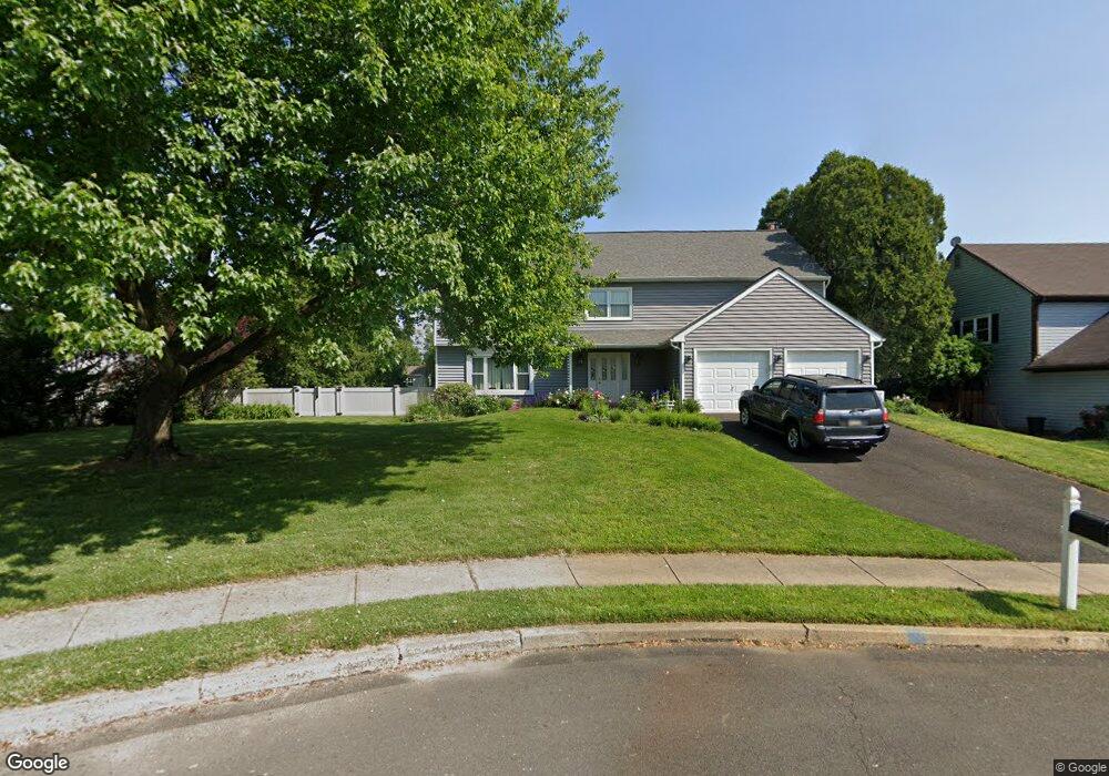
15 Alscot Cir Langhorne, PA 19047
Estimated Value: $636,000 - $682,994
4
Beds
3
Baths
2,912
Sq Ft
$226/Sq Ft
Est. Value
About This Home
This home is located at 15 Alscot Cir, Langhorne, PA 19047 and is currently estimated at $657,249, approximately $225 per square foot. 15 Alscot Cir is a home located in Bucks County with nearby schools including Tawanka Elementary School, Maple Point Middle School, and Neshaminy High School.
Ownership History
Date
Name
Owned For
Owner Type
Purchase Details
Closed on
May 23, 2003
Sold by
Lang Allen B and Lang Alice N
Bought by
Fato Dominick and Sabatino Barbara
Current Estimated Value
Home Financials for this Owner
Home Financials are based on the most recent Mortgage that was taken out on this home.
Original Mortgage
$322,700
Outstanding Balance
$137,285
Interest Rate
5.5%
Mortgage Type
Purchase Money Mortgage
Estimated Equity
$519,964
Purchase Details
Closed on
Oct 17, 1979
Bought by
Lang Allen B and Lang Alice N
Create a Home Valuation Report for This Property
The Home Valuation Report is an in-depth analysis detailing your home's value as well as a comparison with similar homes in the area
Home Values in the Area
Average Home Value in this Area
Purchase History
| Date | Buyer | Sale Price | Title Company |
|---|---|---|---|
| Fato Dominick | $325,000 | -- | |
| Lang Allen B | $92,300 | -- |
Source: Public Records
Mortgage History
| Date | Status | Borrower | Loan Amount |
|---|---|---|---|
| Open | Fato Dominick | $322,700 |
Source: Public Records
Tax History
| Year | Tax Paid | Tax Assessment Tax Assessment Total Assessment is a certain percentage of the fair market value that is determined by local assessors to be the total taxable value of land and additions on the property. | Land | Improvement |
|---|---|---|---|---|
| 2025 | $8,038 | $36,920 | $7,920 | $29,000 |
| 2024 | $8,038 | $36,920 | $7,920 | $29,000 |
| 2023 | $7,910 | $36,920 | $7,920 | $29,000 |
| 2022 | $7,702 | $36,920 | $7,920 | $29,000 |
| 2021 | $7,702 | $36,920 | $7,920 | $29,000 |
| 2020 | $7,610 | $36,920 | $7,920 | $29,000 |
| 2019 | $7,440 | $36,920 | $7,920 | $29,000 |
| 2018 | $7,304 | $36,920 | $7,920 | $29,000 |
| 2017 | $7,117 | $36,920 | $7,920 | $29,000 |
| 2016 | $7,117 | $36,920 | $7,920 | $29,000 |
| 2015 | $7,306 | $36,920 | $7,920 | $29,000 |
| 2014 | $7,306 | $36,920 | $7,920 | $29,000 |
Source: Public Records
Map
Nearby Homes
- 1 Costa Ct
- 174 N Hawthorne Ave
- 166 N Hawthorne Ave
- 320 N Elmwood Ave
- 230 Playwicki St
- 429 Grand Ave
- 739 Bridgeview Rd
- 8 Quartermaster Rd
- 743 Bridgeview Rd
- 527 E Ravine Ave
- 2527 Tulip Ln
- 528 W Maple Ave
- 879 Bridgetown Pike
- 2523 Arrowhead Dr
- 35 Golf Club Dr
- 2533 Skyview Ave
- 706 Fox Ct
- 93 Meer Dr
- 737 Lynwood Dr
- 1420 Super Hwy
Your Personal Tour Guide
Ask me questions while you tour the home.