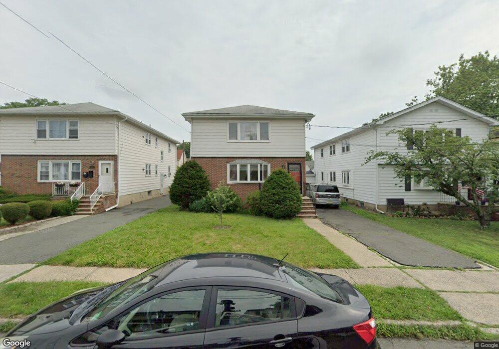
15 Barbara St Unit 2 Bloomfield, NJ 07003
Estimated Value: $630,340 - $906,000
3
Beds
1
Bath
2,304
Sq Ft
$347/Sq Ft
Est. Value
About This Home
This home is located at 15 Barbara St Unit 2, Bloomfield, NJ 07003 and is currently estimated at $798,835, approximately $346 per square foot. 15 Barbara St Unit 2 is a home located in Essex County with nearby schools including Demarest School, Bloomfield Middle School, and Bloomfield High School.
Ownership History
Date
Name
Owned For
Owner Type
Purchase Details
Closed on
Sep 20, 2023
Sold by
Denis Randall and Denis Lewis
Bought by
Denis Randall and Christie Nadine
Current Estimated Value
Purchase Details
Closed on
Aug 31, 2020
Sold by
Ruggiero Joan
Bought by
Denis Randali and Denis Dennis Lewis
Home Financials for this Owner
Home Financials are based on the most recent Mortgage that was taken out on this home.
Original Mortgage
$400,000
Interest Rate
2.9%
Mortgage Type
New Conventional
Purchase Details
Closed on
Aug 1, 2000
Create a Home Valuation Report for This Property
The Home Valuation Report is an in-depth analysis detailing your home's value as well as a comparison with similar homes in the area
Home Values in the Area
Average Home Value in this Area
Purchase History
We collect this data history from publicly available records. To have your information removed, we recommend requesting removal directly through your county’s website.
| Date | Buyer | Sale Price | Title Company |
|---|---|---|---|
| Denis Randall | -- | None Listed On Document | |
| Denis Randali | $500,000 | Stewart Title | |
| -- | -- | -- |
Source: Public Records
Mortgage History
We collect this data history from publicly available records. To have your information removed, we recommend requesting removal directly through your county’s website.
| Date | Status | Borrower | Loan Amount |
|---|---|---|---|
| Previous Owner | Denis Randali | $400,000 |
Source: Public Records
Tax History
| Year | Tax Paid | Tax Assessment Tax Assessment Total Assessment is a certain percentage of the fair market value that is determined by local assessors to be the total taxable value of land and additions on the property. | Land | Improvement |
|---|---|---|---|---|
| 2025 | $14,528 | $428,300 | $176,100 | $252,200 |
| 2024 | $13,997 | $428,300 | $176,100 | $252,200 |
| 2022 | $13,714 | $428,300 | $176,100 | $252,200 |
| 2021 | $13,461 | $428,300 | $176,100 | $252,200 |
| 2020 | $13,256 | $428,300 | $176,100 | $252,200 |
| 2019 | $14,690 | $369,000 | $159,000 | $210,000 |
| 2018 | $14,627 | $369,000 | $159,000 | $210,000 |
| 2017 | $14,406 | $369,000 | $159,000 | $210,000 |
| 2016 | $14,243 | $369,000 | $159,000 | $210,000 |
| 2015 | $14,114 | $369,000 | $159,000 | $210,000 |
| 2014 | $13,856 | $369,000 | $159,000 | $210,000 |
Source: Public Records
Map
Nearby Homes
- 106 Broughton Ave
- 26 Briar Ln
- 154 Milton Ave
- 263 Hoover Ave
- 129 Pake St
- 138 Spatz Ave
- 55 Greenbrook Dr Unit 7C
- 52 Greenbrook Dr
- 322 Broughton Ave
- 330 Hoover Ave
- 126 Ridge Ave
- 81 Hastings Ave
- 78 Hastings Ave
- 367 Hoover Ave
- 380 Hoover Ave Unit 156
- 935 Broad St Unit 35B
- 106 Summit Ave
- 398 Hoover Ave Unit 185
- 734 Broad St
- 384 Essex Ave
Your Personal Tour Guide
Ask me questions while you tour the home.