15 Devol Ave Westport, MA 02790
North Westport NeighborhoodEstimated Value: $726,172 - $1,124,000
About This Home
This home is located at 15 Devol Ave, Westport, MA 02790 and is currently estimated at $953,793, approximately $384 per square foot. 15 Devol Ave is a home with nearby schools including Alice A. Macomber Primary School, Westport Elementary School, and Westport Middle-High School.
Ownership History
We collect this data history from publicly available records. To have your information removed, we recommend requesting removal directly through your county’s website.
Purchase Details
Home Values in the Area
Average Home Value in this Area
Purchase History
We collect this data history from publicly available records. To have your information removed, we recommend requesting removal directly through your county’s website.
| Date | Buyer | Sale Price | Title Company |
|---|---|---|---|
| $404,900 | -- |
Mortgage History
We collect this data history from publicly available records. To have your information removed, we recommend requesting removal directly through your county’s website.
| Date | Status | Borrower | Loan Amount |
|---|---|---|---|
| Open | $170,000 | ||
| Closed | $70,000 | ||
| Open | $383,000 | ||
| Closed | $49,000 | ||
| Closed | $382,383 | ||
| Closed | $385,050 |
Tax History
We collect this data history from publicly available records. To have your information removed, we recommend requesting removal directly through your county’s website.
| Year | Tax Paid | Tax Assessment Tax Assessment Total Assessment is a certain percentage of the fair market value that is determined by local assessors to be the total taxable value of land and additions on the property. | Land | Improvement |
|---|---|---|---|---|
| 2025 | $4,574 | $614,000 | $203,300 | $410,700 |
| 2024 | $4,507 | $583,100 | $181,700 | $401,400 |
| 2023 | $4,502 | $551,700 | $173,000 | $378,700 |
| 2022 | $3,630 | $436,300 | $166,600 | $269,700 |
| 2021 | $3,630 | $421,100 | $151,400 | $269,700 |
| 2020 | $3,452 | $409,500 | $139,800 | $269,700 |
| 2019 | $3,207 | $387,800 | $134,200 | $253,600 |
| 2018 | $3,209 | $392,800 | $120,000 | $272,800 |
| 2017 | $3,131 | $392,800 | $120,000 | $272,800 |
| 2016 | $2,878 | $363,900 | $120,000 | $243,900 |
| 2015 | $2,832 | $357,100 | $120,000 | $237,100 |
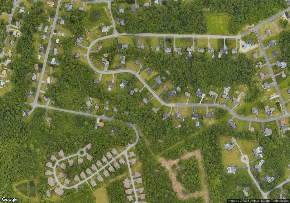
Map
- 51 Newton St
- 217BB Tickle Rd
- 29 Oak Ave
- 1 Holly Hill Ave
- Lot 6A/6B American Legion Hwy
- 68 Captains Cir
- 218 American Legion Hwy
- 41 Watuppa Rd
- 54 Robert St
- 75 Montgomery St
- 179 Robert St
- 8 Campion Ave
- 80 Briggs Ln
- 50 Benoit St
- 50 Plymouth Blvd
- 0 Crandall Rd
- 20 Blackbird Ct
- 6 Angel Ct
- 137 Lark Ln
- 37 Bluejay St
Ask me questions while you tour the home.