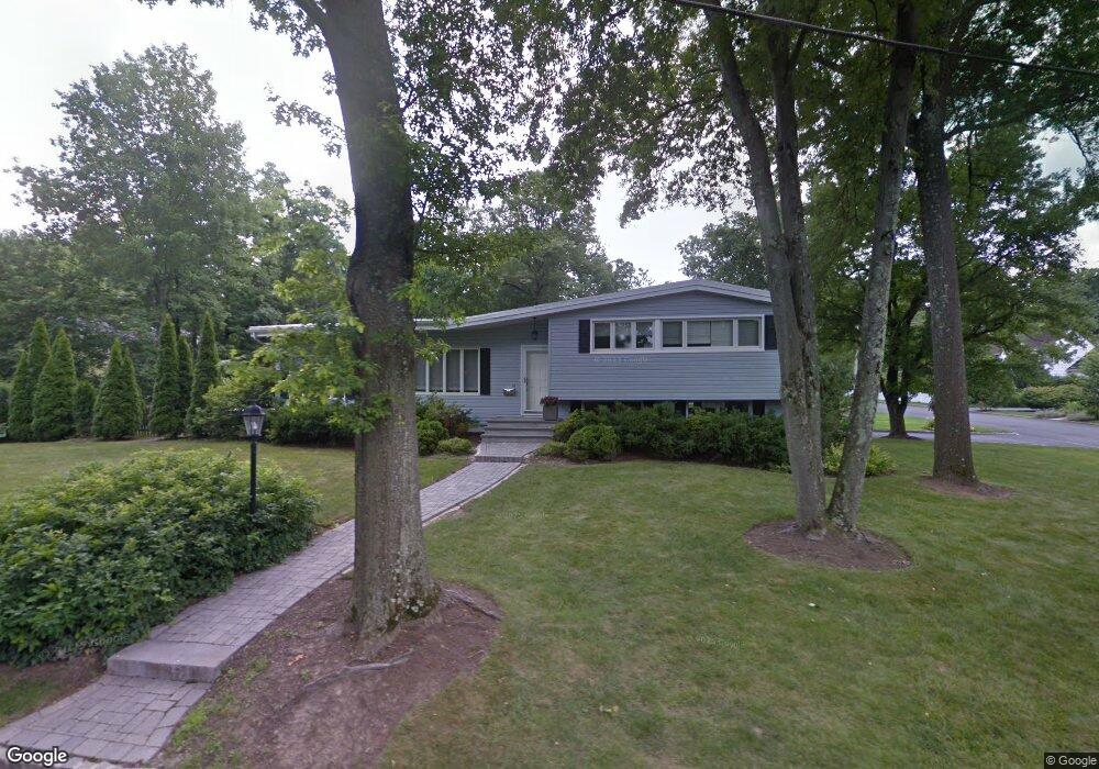
15 Hartley Rd Summit, NJ 07901
Estimated Value: $1,070,848 - $1,358,000
Studio
--
Bath
1,718
Sq Ft
$723/Sq Ft
Est. Value
About This Home
This home is located at 15 Hartley Rd, Summit, NJ 07901 and is currently estimated at $1,242,462, approximately $723 per square foot. 15 Hartley Rd is a home located in Union County with nearby schools including L C Johnson Summit Middle School, Summit Sr High School, and Kent Place School.
Ownership History
Date
Name
Owned For
Owner Type
Purchase Details
Closed on
Nov 11, 2010
Sold by
Tobias Daniel and Tobias Margot
Bought by
Caligaris Lorenzo and Caligaris Mutsuko
Current Estimated Value
Home Financials for this Owner
Home Financials are based on the most recent Mortgage that was taken out on this home.
Original Mortgage
$170,000
Outstanding Balance
$103,184
Interest Rate
2.75%
Mortgage Type
New Conventional
Estimated Equity
$1,139,278
Purchase Details
Closed on
Jun 19, 2000
Sold by
Fehily Elizabeth A
Bought by
Tobias Daniel and Tobias Margot
Home Financials for this Owner
Home Financials are based on the most recent Mortgage that was taken out on this home.
Original Mortgage
$324,000
Interest Rate
8.55%
Create a Home Valuation Report for This Property
The Home Valuation Report is an in-depth analysis detailing your home's value as well as a comparison with similar homes in the area
Home Values in the Area
Average Home Value in this Area
Purchase History
| Date | Buyer | Sale Price | Title Company |
|---|---|---|---|
| Caligaris Lorenzo | $570,000 | Chicago Title Insurance Co | |
| Tobias Daniel | $405,000 | Old Republic Title |
Source: Public Records
Mortgage History
| Date | Status | Borrower | Loan Amount |
|---|---|---|---|
| Open | Caligaris Lorenzo | $170,000 | |
| Previous Owner | Tobias Daniel | $324,000 |
Source: Public Records
Tax History
| Year | Tax Paid | Tax Assessment Tax Assessment Total Assessment is a certain percentage of the fair market value that is determined by local assessors to be the total taxable value of land and additions on the property. | Land | Improvement |
|---|---|---|---|---|
| 2025 | $10,254 | $235,400 | $143,200 | $92,200 |
| 2024 | $10,186 | $235,400 | $143,200 | $92,200 |
| 2023 | $10,186 | $235,400 | $143,200 | $92,200 |
| 2022 | $10,082 | $235,400 | $143,200 | $92,200 |
| 2021 | $10,162 | $235,400 | $143,200 | $92,200 |
| 2020 | $10,263 | $235,400 | $143,200 | $92,200 |
| 2019 | $10,275 | $235,400 | $143,200 | $92,200 |
| 2018 | $10,209 | $235,400 | $143,200 | $92,200 |
| 2017 | $10,275 | $235,400 | $143,200 | $92,200 |
| 2016 | $10,125 | $235,400 | $143,200 | $92,200 |
| 2015 | $9,927 | $235,400 | $143,200 | $92,200 |
| 2014 | $9,670 | $235,400 | $143,200 | $92,200 |
Source: Public Records
Map
Nearby Homes
- 25 Bedford Rd
- 49 Norwood Ave
- 107 Kent Place Blvd
- 23 Euclid Ave
- 11 Euclid Ave Unit 4D
- 49 Minton Ave
- 14 Euclid Ave Unit 102
- 1 Euclid Ave Unit 3B
- 60 Fernwood Rd
- 215 Kent Place Blvd
- 8 Dunnder Dr
- 149 Hillcrest Ave
- 55 Oxbow Ln
- 133 Summit Ave Unit 16A
- 81 Summit Ave
- 26 Pihlman Place
- 000 River Rd
- 55 River Rd
- 195 Hillside Ave
- 25 Dogwood Dr
- 138 Canoe Brook Pkwy
- 136 Canoe Brook Pkwy
- 18 Hartley Rd
- 21 Hartley Rd
- 61 Wade Dr
- 140 Canoe Brook Pkwy
- 63 Wade Dr
- 51 Wade Dr
- 128 Canoe Brook Pkwy
- 135 Canoe Brook Pkwy
- 129 Canoe Brook Pkwy
- 144 Canoe Brook Pkwy
- 126 Canoe Brook Pkwy
- 65 Wade Dr
- 60 Wade Dr
- 49 Wade Dr
- 6 Hartley Rd
- 141 Canoe Brook Pkwy
- 5 Hartley Rd
- 30 Hartley Rd
Your Personal Tour Guide
Ask me questions while you tour the home.