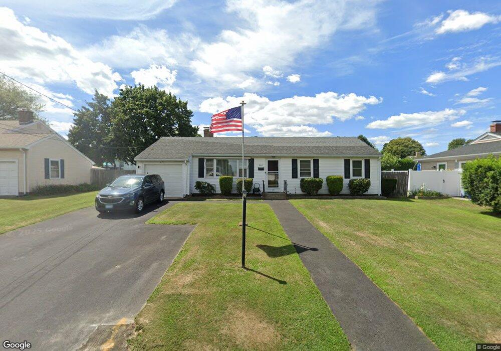
15 Manning Dr Riverside, RI 02915
Kent Heights NeighborhoodEstimated Value: $407,241 - $442,000
3
Beds
1
Bath
1,176
Sq Ft
$358/Sq Ft
Est. Value
About This Home
This home is located at 15 Manning Dr, Riverside, RI 02915 and is currently estimated at $420,810, approximately $357 per square foot. 15 Manning Dr is a home located in Providence County with nearby schools including East Providence High School, The Gordon School, and St Mary Academy-Bay View.
Ownership History
Date
Name
Owned For
Owner Type
Purchase Details
Closed on
Oct 23, 2000
Sold by
Mauricio Rufino B and Mauricio Bertha
Bought by
Tainsh Franklin J and Tainsh Marcea
Current Estimated Value
Purchase Details
Closed on
May 9, 1989
Sold by
Pirri Clara M
Bought by
Mauricio Rufino B
Create a Home Valuation Report for This Property
The Home Valuation Report is an in-depth analysis detailing your home's value as well as a comparison with similar homes in the area
Home Values in the Area
Average Home Value in this Area
Purchase History
| Date | Buyer | Sale Price | Title Company |
|---|---|---|---|
| Tainsh Franklin J | $125,000 | -- | |
| Mauricio Rufino B | $125,000 | -- | |
| Tainsh Franklin J | $125,000 | -- | |
| Mauricio Rufino B | $125,000 | -- |
Source: Public Records
Mortgage History
| Date | Status | Borrower | Loan Amount |
|---|---|---|---|
| Open | Mauricio Rufino B | $10,000 | |
| Open | Mauricio Rufino B | $200,000 | |
| Closed | Mauricio Rufino B | $118,750 |
Source: Public Records
Tax History
| Year | Tax Paid | Tax Assessment Tax Assessment Total Assessment is a certain percentage of the fair market value that is determined by local assessors to be the total taxable value of land and additions on the property. | Land | Improvement |
|---|---|---|---|---|
| 2025 | $4,637 | $354,800 | $130,700 | $224,100 |
| 2024 | $4,647 | $303,100 | $109,100 | $194,000 |
| 2023 | $4,474 | $303,100 | $109,100 | $194,000 |
| 2022 | $4,457 | $203,900 | $57,500 | $146,400 |
| 2021 | $4,384 | $203,900 | $57,500 | $146,400 |
| 2020 | $4,198 | $203,900 | $57,500 | $146,400 |
| 2019 | $4,082 | $203,900 | $57,500 | $146,400 |
| 2018 | $3,878 | $169,500 | $58,700 | $110,800 |
| 2017 | $3,792 | $169,500 | $58,700 | $110,800 |
| 2016 | $3,773 | $169,500 | $58,700 | $110,800 |
| 2015 | $3,534 | $154,000 | $51,800 | $102,200 |
| 2014 | $3,534 | $154,000 | $51,800 | $102,200 |
Source: Public Records
Map
Nearby Homes
- 26 Manning Dr
- 90 Sweetbriar Ave
- 32 Milburn Rd
- 53 Wampanoag Trail
- 111 Wannamoisett Rd
- 2919 Pawtucket Ave
- 32 Wannamoisett Rd
- 220 Vincent Ave
- 0 Robinson St
- 71 Fairview Ave
- 177 Dover Ave
- 52 Maxfield Ave
- 14 Maxfield Ave
- 74 Brookhaven Dr
- 28 Mayflower St
- 26 Dover Ave
- 100 S Blossom St
- 680 Veterans Memorial Pkwy
- 63 Indian Rd
- 6 Fuller Ave
Your Personal Tour Guide
Ask me questions while you tour the home.