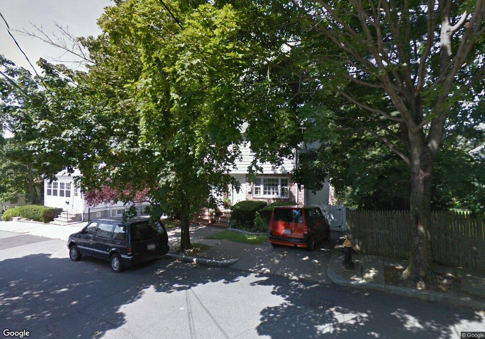
15 Manning St Roslindale, MA 02131
Roslindale NeighborhoodEstimated Value: $453,000 - $537,000
2
Beds
1
Bath
1,026
Sq Ft
$494/Sq Ft
Est. Value
About This Home
This home is located at 15 Manning St, Roslindale, MA 02131 and is currently estimated at $506,823, approximately $493 per square foot. 15 Manning St is a home located in Suffolk County with nearby schools including Brooke Charter School Roslindale, Sacred Heart STEM School, and St. Clare High School.
Ownership History
Date
Name
Owned For
Owner Type
Purchase Details
Closed on
May 19, 2023
Sold by
Marrero Sarah and Marrero Hernan
Bought by
Marrero Hernan
Current Estimated Value
Purchase Details
Closed on
Oct 4, 2004
Sold by
Bartels-Marrero Sarah
Bought by
Marrero Hernan and Bartels-Marrero Sarah
Purchase Details
Closed on
Jun 16, 2004
Sold by
Boston City Of
Bought by
Manning St Lot 15 Rt and Oliver
Purchase Details
Closed on
Jan 14, 2003
Sold by
Skinner Theodore and Skinner Mary A
Bought by
Bartels-Marrero Sarah
Home Financials for this Owner
Home Financials are based on the most recent Mortgage that was taken out on this home.
Original Mortgage
$205,350
Interest Rate
6.19%
Mortgage Type
Purchase Money Mortgage
Create a Home Valuation Report for This Property
The Home Valuation Report is an in-depth analysis detailing your home's value as well as a comparison with similar homes in the area
Home Values in the Area
Average Home Value in this Area
Purchase History
| Date | Buyer | Sale Price | Title Company |
|---|---|---|---|
| Marrero Hernan | -- | None Available | |
| Marrero Hernan | -- | -- | |
| Manning St Lot 15 Rt | $750 | -- | |
| Bartels-Marrero Sarah | $207,000 | -- |
Source: Public Records
Mortgage History
| Date | Status | Borrower | Loan Amount |
|---|---|---|---|
| Previous Owner | Bartels-Marrero Sarah | $205,350 |
Source: Public Records
Tax History
| Year | Tax Paid | Tax Assessment Tax Assessment Total Assessment is a certain percentage of the fair market value that is determined by local assessors to be the total taxable value of land and additions on the property. | Land | Improvement |
|---|---|---|---|---|
| 2025 | $4,824 | $416,600 | $112,400 | $304,200 |
| 2024 | $4,179 | $383,400 | $110,300 | $273,100 |
| 2023 | $3,886 | $361,800 | $104,100 | $257,700 |
| 2022 | $3,578 | $328,900 | $94,600 | $234,300 |
| 2021 | $3,284 | $307,800 | $90,100 | $217,700 |
| 2020 | $3,150 | $298,300 | $81,600 | $216,700 |
| 2019 | $2,856 | $271,000 | $61,800 | $209,200 |
| 2018 | $2,840 | $271,000 | $61,800 | $209,200 |
| 2017 | $2,684 | $253,400 | $61,800 | $191,600 |
| 2016 | $2,488 | $226,200 | $61,800 | $164,400 |
| 2015 | $2,460 | $203,100 | $66,000 | $137,100 |
| 2014 | $2,254 | $179,200 | $66,000 | $113,200 |
Source: Public Records
Map
Nearby Homes
- 886 Canterbury St
- 8 Mount Calvary Rd Unit 4
- 60 Stella Rd
- 624 Hyde Park Ave Unit D4
- 624 Hyde Park Ave Unit C3
- 4 Rowe Ct
- 6 Ramsdell Ave Unit 4
- 68 Rowe St Unit 4
- 68 Rowe St Unit 1
- 34 Sammett Ave
- 32 Jewett St
- 441 Hyde Park Ave Unit 7
- 23 Rowe St Unit 23 Rowe
- 49-51 Brown Ave Unit 49
- 16 Hilburn Place
- 71 Wyvern St
- 766 Hyde Park Ave
- 596 American Legion Hwy Unit 5
- 11 Sherwood St Unit 1
- 72 Livermore St
- 17 Manning St
- 17 Manning St Unit 1
- 17 Manning St Unit 17
- 21 Manning St Unit 21
- 21 Manning St
- 21 Manning St
- 868 Canterbury St
- 870 Canterbury St
- 9 Manning St
- 880 Canterbury St
- 10 Manning St
- 12 Manning St
- 7 Manning St
- 866 Canterbury St
- 14 Manning St
- 8 Manning St
- 16 Manning St
- 18 Manning St
- 6 Manning St
- 29 Manning St
Your Personal Tour Guide
Ask me questions while you tour the home.