15 N Robbins St Thomasville, NC 27360
Estimated Value: $1,072,702
Studio
4
Baths
19,910
Sq Ft
$54/Sq Ft
Est. Value
About This Home
This home is located at 15 N Robbins St, Thomasville, NC 27360 and is currently estimated at $1,072,702, approximately $53 per square foot. 15 N Robbins St is a home located in Davidson County with nearby schools including Hasty Elementary School, Ledford Middle School, and Ledford High School.
Ownership History
Date
Name
Owned For
Owner Type
Purchase Details
Closed on
Dec 7, 2018
Sold by
Marsh Aviation Inc
Bought by
Mallard Investments Llc
Current Estimated Value
Purchase Details
Closed on
Aug 25, 2003
Sold by
Dehart Jr Gary G
Bought by
Romer Properties Llc
Purchase Details
Closed on
Feb 23, 2000
Sold by
Dehart Jr Gary G
Bought by
Dehart Gary G
Purchase Details
Closed on
Apr 1, 1999
Purchase Details
Closed on
Oct 1, 1995
Purchase Details
Closed on
Mar 1, 1989
Create a Home Valuation Report for This Property
The Home Valuation Report is an in-depth analysis detailing your home's value as well as a comparison with similar homes in the area
Home Values in the Area
Average Home Value in this Area
Purchase History
| Date | Buyer | Sale Price | Title Company |
|---|---|---|---|
| Mallard Investments Llc | $595,000 | None Available | |
| Romer Properties Llc | $390,000 | -- | |
| Dehart Gary G | -- | -- | |
| -- | $350,000 | -- | |
| -- | $15,000 | -- | |
| -- | $297,000 | -- |
Source: Public Records
Tax History
| Year | Tax Paid | Tax Assessment Tax Assessment Total Assessment is a certain percentage of the fair market value that is determined by local assessors to be the total taxable value of land and additions on the property. | Land | Improvement |
|---|---|---|---|---|
| 2025 | $3,326 | $291,130 | $0 | $0 |
| 2024 | $3,326 | $291,130 | $0 | $0 |
| 2023 | $3,326 | $291,130 | $0 | $0 |
| 2022 | $3,326 | $291,130 | $0 | $0 |
| 2021 | $3,326 | $291,130 | $0 | $0 |
| 2020 | $3,970 | $353,560 | $0 | $0 |
| 2019 | $4,031 | $353,560 | $0 | $0 |
| 2018 | $4,026 | $353,130 | $0 | $0 |
| 2017 | $4,026 | $353,130 | $0 | $0 |
| 2016 | $3,884 | $353,130 | $0 | $0 |
| 2015 | $3,884 | $353,130 | $0 | $0 |
| 2014 | $4,165 | $378,650 | $0 | $0 |
Source: Public Records
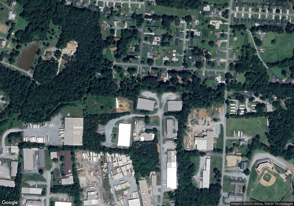
Map
Nearby Homes
- 1 N Forrest Dr
- 119 Beechwood Cir
- 6012 Ball Park Rd
- 156 Payne Rd
- 904 Blackstone Cir
- 97 Red Bud Ln
- 131 Hasty Hill Rd
- 39 Hasty Hill Rd
- 11 Stoney Point Ct
- 133 Circle Dr
- 24 Stoney Point Ct
- 118 Circle Dr
- 138 Cartridge Ct
- 17 Clayton Way
- 168 Anns Dr
- 78 Lowery Dr
- 20 Collin Ln
- 7 Collin Ln
- 605 Paul Kennedy Rd
- 217 Lakeview Dr E
- 17 N Robbins St
- 19 N Forrest Dr
- 17 N Forrest Dr
- 15 N Forrest Dr
- 21 N Forrest Dr
- 23 N Forrest Dr
- 13 N Forrest Dr
- 25 N Forrest Dr
- 11 N Forrest Dr
- 22 N Forrest Dr
- 100 Chriswood Ave
- 7 N Forrest Dr
- 16 N Forrest Dr
- 27 N Forrest Dr
- 14 N Forrest Dr
- 12 N Forrest Dr
- 101 Chriswood Ave
- 5 N Forrest Dr
- 102 Chriswood Ave
- 24 N Forrest Dr
Your Personal Tour Guide
Ask me questions while you tour the home.