150 Dennis Whitney Rd New Braintree, MA 01531
Estimated Value: $262,631 - $493,000
2
Beds
1
Bath
864
Sq Ft
$427/Sq Ft
Est. Value
About This Home
This home is located at 150 Dennis Whitney Rd, New Braintree, MA 01531 and is currently estimated at $368,908, approximately $426 per square foot. 150 Dennis Whitney Rd is a home located in Worcester County with nearby schools including Quabbin Regional Middle School and Quabbin Regional High School.
Ownership History
Date
Name
Owned For
Owner Type
Purchase Details
Closed on
Sep 8, 1993
Sold by
Contr D A Robinson
Bought by
Cummings Michael and Cummings Mary
Current Estimated Value
Home Financials for this Owner
Home Financials are based on the most recent Mortgage that was taken out on this home.
Original Mortgage
$75,000
Interest Rate
7.21%
Mortgage Type
Purchase Money Mortgage
Create a Home Valuation Report for This Property
The Home Valuation Report is an in-depth analysis detailing your home's value as well as a comparison with similar homes in the area
Home Values in the Area
Average Home Value in this Area
Purchase History
| Date | Buyer | Sale Price | Title Company |
|---|---|---|---|
| Cummings Michael | $90,000 | -- |
Source: Public Records
Mortgage History
| Date | Status | Borrower | Loan Amount |
|---|---|---|---|
| Open | Cummings Michael | $96,952 | |
| Closed | Cummings Michael | $75,000 |
Source: Public Records
Tax History
| Year | Tax Paid | Tax Assessment Tax Assessment Total Assessment is a certain percentage of the fair market value that is determined by local assessors to be the total taxable value of land and additions on the property. | Land | Improvement |
|---|---|---|---|---|
| 2025 | $30 | $203,100 | $53,200 | $149,900 |
| 2024 | $2,953 | $203,100 | $53,200 | $149,900 |
| 2023 | $2,769 | $188,600 | $53,200 | $135,400 |
| 2022 | $2,449 | $150,700 | $42,200 | $108,500 |
| 2021 | $2,496 | $142,900 | $39,500 | $103,400 |
| 2020 | $2,487 | $143,600 | $39,500 | $104,100 |
| 2019 | $2,441 | $143,600 | $39,500 | $104,100 |
| 2018 | $2,450 | $139,500 | $42,200 | $97,300 |
| 2017 | $2,543 | $140,800 | $45,400 | $95,400 |
| 2016 | $2,450 | $140,800 | $45,400 | $95,400 |
| 2015 | $2,468 | $152,000 | $52,000 | $100,000 |
| 2014 | $2,484 | $152,000 | $52,000 | $100,000 |
Source: Public Records
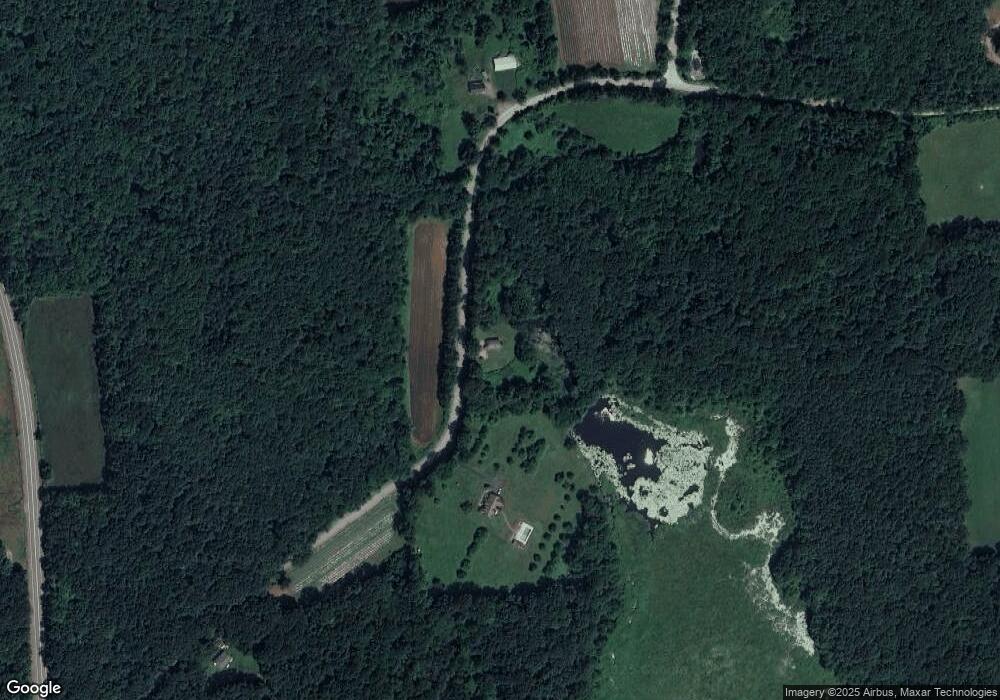
Map
Nearby Homes
- 716 Hardwick Rd
- 1940 Barre Rd
- 2266 Old Turnpike Rd
- 661 Wheelwright Rd
- 278 Oakham Rd
- 300 Stone Rd
- 67 Skyline Dr
- 572 Wheelwright Rd
- lt3 West Rd
- 0 Station Rd
- 38 Edson Rd
- 23 Trafalgar Square Unit 23
- 926 Old Turnpike Rd
- 865 S Barre Rd
- 67 Maple St
- 0 Lower Rd
- 1310 N Brookfield Rd
- 1215 South St
- 179 Pierce Rd
- 116 Spencer Rd
- 100 Dennis Whitney Rd
- Lot 0 Dennis Whitney Rd
- 241 Dennis Whitney Rd
- 0 Bernard Whitney Rd
- 60 Dennis Whitney Rd
- 326 Dennis Whitney Rd
- 130 Bernard Whitney Rd
- 1344 Barre Rd
- 1314 Barre Rd
- 377 Dennis Whitney Rd
- "lot A" Dennis Whitney Rd
- Lot 1 Dennis Whitney Rd
- 55 Thompson Rd
- 0 Dennis Whitney Rd
- 150 Bernard Whitney Rd
- 1550 Barre Rd
- 1280 Barre Rd
- 156 Bernard Whitney Rd
- 125 Bernard Whitney Rd
- 990 Barre Rd
Your Personal Tour Guide
Ask me questions while you tour the home.