1500 Simpson Rd Mc Connells, SC 29726
Estimated Value: $281,018
Studio
--
Bath
--
Sq Ft
4,356,000
Sq Ft Lot
About This Home
This home is located at 1500 Simpson Rd, Mc Connells, SC 29726 and is currently estimated at $281,018. 1500 Simpson Rd is a home located in York County with nearby schools including Jefferson Elementary School, York Intermediate School, and York Middle School.
Ownership History
Date
Name
Owned For
Owner Type
Purchase Details
Closed on
Aug 12, 2016
Sold by
Clawson Ropbert H and Clawson Regina B
Bought by
Bisson Terry L and Bisson Terri E
Current Estimated Value
Purchase Details
Closed on
Jan 29, 2015
Sold by
Clawson Robert H and Clawson Regina B
Bought by
Bisson Terry L and Bisson Terri E
Purchase Details
Closed on
May 3, 2006
Sold by
Foster Ernest Guy
Bought by
Clawson Robert H and Clawson Regina B
Home Financials for this Owner
Home Financials are based on the most recent Mortgage that was taken out on this home.
Original Mortgage
$160,000
Interest Rate
6.39%
Mortgage Type
New Conventional
Create a Home Valuation Report for This Property
The Home Valuation Report is an in-depth analysis detailing your home's value as well as a comparison with similar homes in the area
Home Values in the Area
Average Home Value in this Area
Purchase History
| Date | Buyer | Sale Price | Title Company |
|---|---|---|---|
| Bisson Terry L | $161,000 | None Available | |
| Bisson Terry L | $141,330 | -- | |
| Clawson Robert H | $160,000 | None Available |
Source: Public Records
Mortgage History
| Date | Status | Borrower | Loan Amount |
|---|---|---|---|
| Previous Owner | Clawson Robert H | $160,000 |
Source: Public Records
Tax History
| Year | Tax Paid | Tax Assessment Tax Assessment Total Assessment is a certain percentage of the fair market value that is determined by local assessors to be the total taxable value of land and additions on the property. | Land | Improvement |
|---|---|---|---|---|
| 2025 | $150 | $345 | $345 | $0 |
| 2024 | $148 | $345 | $345 | $0 |
| 2023 | $146 | $345 | $345 | $0 |
| 2022 | $140 | $345 | $345 | $0 |
| 2021 | -- | $345 | $345 | $0 |
| 2020 | $137 | $345 | $0 | $0 |
| 2019 | $117 | $283 | $0 | $0 |
| 2018 | $113 | $283 | $0 | $0 |
| 2017 | $108 | $11,550 | $0 | $0 |
| 2016 | $106 | $11,550 | $0 | $0 |
| 2014 | $11 | $33 | $33 | $0 |
| 2013 | $11 | $33 | $33 | $0 |
Source: Public Records
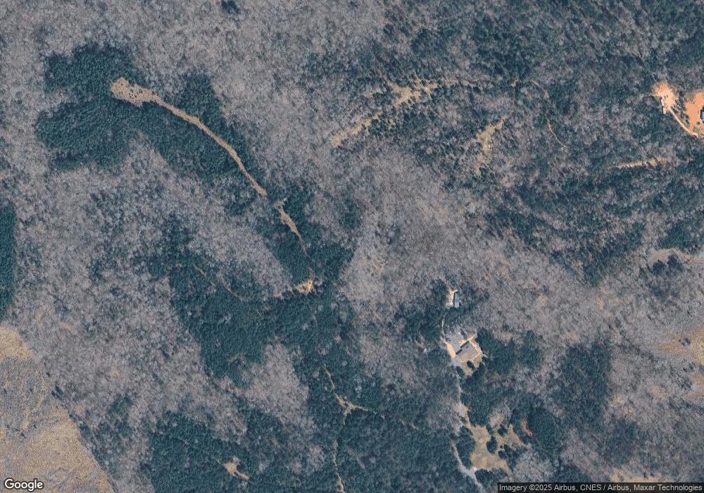
Map
Nearby Homes
- 150 Orindawood Rd
- 1265 N Burris Rd
- 1951 McConnells Hwy W
- 4083 Hord Rd
- 00 Hord Rd
- 000 Peacehaven Rd Unit 1
- 000 Peacehaven Rd Unit 2
- 000 Peacehaven Rd Unit 5
- 3724 Wilson Chapel Rd
- 1302 Bryson Creek Dr
- 1348 Bryson Creek Dr
- Peacehaven Rd
- 3840 Sherer Rd
- 1405 Mack Dr
- 0 Lockhart Hwy
- 6115 McConnells Hwy E
- 3841 York St
- 4594 Ramsey Rd
- 3030 Shannon St
- 3327 York St
- 75 acres State Road S-46-169
- 2155 Simpson Rd
- 1989 Simpson Rd
- 33 AC Simpson Rd
- 836 N Burris Rd
- 740 N Burris Rd
- 2190 Colony Acres Dr
- 6+/- AC Colony Acres Dr
- 720 N Burris Rd
- 2100 Colony Acres Dr
- 812 N Burris Rd
- 2195 Colony Acres Dr
- Lot 10 Colony Acres Rd
- 2105 Colony Acres Dr
- 895 N Burris Rd
- 2276 Colony Acres Dr Unit TR 2
- 703 N Burris Rd
- 2151 Colony Acres Dr
- 2292 Colony Acres Dr
- 620 N Burris Rd
Your Personal Tour Guide
Ask me questions while you tour the home.