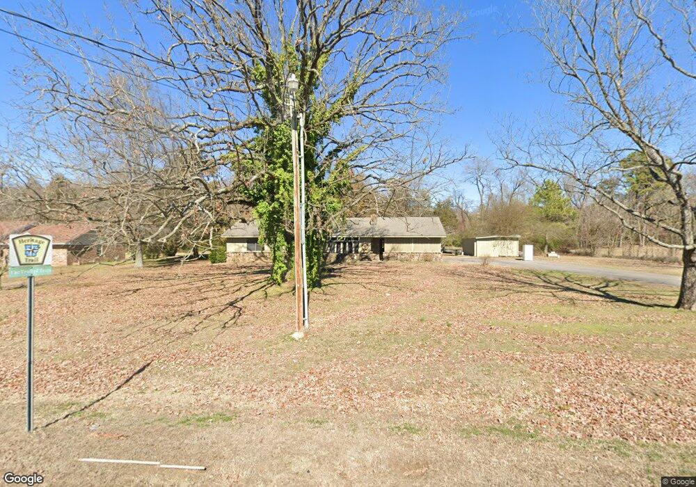
1501 E Highway 64 Coal Hill, AR 72832
Estimated Value: $119,000 - $189,000
Studio
1
Bath
1,432
Sq Ft
$100/Sq Ft
Est. Value
About This Home
This home is located at 1501 E Highway 64, Coal Hill, AR 72832 and is currently estimated at $143,465, approximately $100 per square foot. 1501 E Highway 64 is a home located in Johnson County with nearby schools including Westside Elementary School and Westside High School.
Ownership History
Date
Name
Owned For
Owner Type
Purchase Details
Closed on
Nov 8, 2022
Sold by
Us Bank National Association
Bought by
Williams Braden Michael
Current Estimated Value
Purchase Details
Closed on
Jun 6, 2022
Sold by
Elizabeth Yates Claire
Bought by
Us Bank National Association
Purchase Details
Closed on
Aug 23, 2013
Sold by
Styles Cynthia D and Styles Kenneth
Bought by
Yates Claire Elizabeth
Home Financials for this Owner
Home Financials are based on the most recent Mortgage that was taken out on this home.
Original Mortgage
$74,277
Interest Rate
4.4%
Mortgage Type
FHA
Purchase Details
Closed on
Jun 28, 1999
Bought by
Styles Cynthia
Purchase Details
Closed on
Jun 25, 1999
Bought by
Styles Cynthia
Create a Home Valuation Report for This Property
The Home Valuation Report is an in-depth analysis detailing your home's value as well as a comparison with similar homes in the area
Purchase History
| Date | Buyer | Sale Price | Title Company |
|---|---|---|---|
| Williams Braden Michael | $81,299 | Bay National Title | |
| Williams Braden Michael | $81,299 | Bay National Title | |
| Williams Braden Michael | $81,299 | Bay National Title | |
| Us Bank National Association | $59,198 | Timothy D Padgett Pa | |
| Yates Claire Elizabeth | -- | Curran'S Abstract & Title | |
| Styles Cynthia | $53,000 | -- | |
| Styles Cynthia | -- | -- |
Source: Public Records
Mortgage History
| Date | Status | Borrower | Loan Amount |
|---|---|---|---|
| Previous Owner | Yates Claire Elizabeth | $74,277 |
Source: Public Records
Tax History
| Year | Tax Paid | Tax Assessment Tax Assessment Total Assessment is a certain percentage of the fair market value that is determined by local assessors to be the total taxable value of land and additions on the property. | Land | Improvement |
|---|---|---|---|---|
| 2025 | $959 | $25,407 | $979 | $24,428 |
| 2024 | $482 | $17,130 | $980 | $16,150 |
| 2023 | $557 | $17,130 | $980 | $16,150 |
| 2022 | $896 | $17,130 | $980 | $16,150 |
| 2021 | $896 | $17,130 | $980 | $16,150 |
| 2020 | $888 | $17,130 | $980 | $16,150 |
| 2019 | $808 | $15,440 | $980 | $14,460 |
| 2018 | $458 | $15,440 | $980 | $14,460 |
| 2017 | $808 | $15,440 | $980 | $14,460 |
| 2015 | $419 | $14,700 | $980 | $13,720 |
| 2014 | $703 | $14,000 | $1,000 | $13,000 |
| 2013 | $703 | $14,000 | $1,000 | $13,000 |
Source: Public Records
Map
Nearby Homes
- Tract 3 U S Highway 64
- Tract 2 U S Highway 64
- Tract 1 U S Highway 64
- 806 Armstrong St
- 0 Oak St
- 111 Arkansas St
- 000 S Main St
- 308 U S 64
- TBD N Main St
- 804 U S 64
- 805 W Highway 64
- 912 College St
- 500 Gravel Hill Rd
- 382 W Line St
- 185 Private Road 2037
- 268 Wilder Ln
- 301 Main St
- 1176 Cr 2201
- 9340 Nortontown Rd
- 1176 County Road 2201
- 1112 E Highway 64
- 1112 E Highway 64
- 748 U S Highway 64
- 000 U S Highway 64
- 0 U S Highway 64
- 2005 U S Highway 64
- 103 N 12th St
- 1202 Spring St
- 1112 Stouffer St
- 2608 Spring St
- 104 N 11th St
- 1301 E Highway 64
- 1300 E Highway 64
- 1012 E Highway 64
- 110 N 11th St
- 000 Eleventh St
- 000 S 11th St
- 1298 E Highway 64
- 240,242,270,272 S 11th
- 1209 Spring St
Your Personal Tour Guide
Ask me questions while you tour the home.