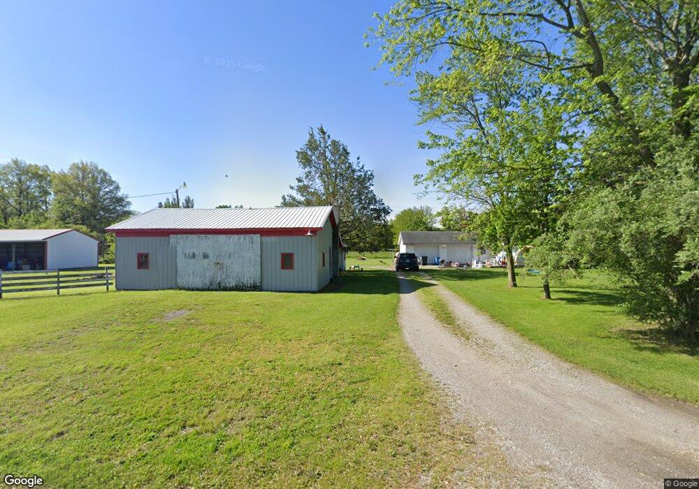
15012 Road 82 Paulding, OH 45879
Estimated Value: $153,000 - $212,000
2
Beds
1
Bath
880
Sq Ft
$209/Sq Ft
Est. Value
About This Home
This home is located at 15012 Road 82, Paulding, OH 45879 and is currently estimated at $183,825, approximately $208 per square foot. 15012 Road 82 is a home located in Paulding County with nearby schools including Wayne Trace High School.
Ownership History
Date
Name
Owned For
Owner Type
Purchase Details
Closed on
Nov 27, 2020
Sold by
Sanderson Vern M and Sanderson Tonya C
Bought by
Selzer Daniel C and Selzer Sarah M
Current Estimated Value
Home Financials for this Owner
Home Financials are based on the most recent Mortgage that was taken out on this home.
Original Mortgage
$67,000
Outstanding Balance
$53,104
Interest Rate
2.8%
Mortgage Type
Future Advance Clause Open End Mortgage
Estimated Equity
$130,721
Purchase Details
Closed on
Oct 16, 2015
Sold by
Sanderson Dewey D and Estate Of Vaughn M Sanderson
Bought by
Sanderson Vern M and Sanderson Tonya C
Home Financials for this Owner
Home Financials are based on the most recent Mortgage that was taken out on this home.
Original Mortgage
$51,840
Interest Rate
3.91%
Mortgage Type
Future Advance Clause Open End Mortgage
Create a Home Valuation Report for This Property
The Home Valuation Report is an in-depth analysis detailing your home's value as well as a comparison with similar homes in the area
Purchase History
| Date | Buyer | Sale Price | Title Company |
|---|---|---|---|
| Selzer Daniel C | $47,000 | None Available | |
| Sanderson Vern M | $64,800 | None Available |
Source: Public Records
Mortgage History
| Date | Status | Borrower | Loan Amount |
|---|---|---|---|
| Open | Selzer Daniel C | $67,000 | |
| Previous Owner | Sanderson Vern M | $51,840 |
Source: Public Records
Tax History
| Year | Tax Paid | Tax Assessment Tax Assessment Total Assessment is a certain percentage of the fair market value that is determined by local assessors to be the total taxable value of land and additions on the property. | Land | Improvement |
|---|---|---|---|---|
| 2025 | $1,787 | $58,800 | $14,420 | $44,380 |
| 2024 | $1,787 | $45,960 | $11,270 | $34,690 |
| 2023 | $1,448 | $45,960 | $11,270 | $34,690 |
| 2022 | $1,491 | $45,960 | $11,270 | $34,690 |
| 2021 | $1,474 | $40,390 | $10,500 | $29,890 |
| 2020 | $1,525 | $40,390 | $10,500 | $29,890 |
| 2019 | $1,533 | $36,510 | $10,500 | $26,010 |
| 2018 | $1,242 | $36,510 | $10,500 | $26,010 |
| 2017 | $1,244 | $36,510 | $10,500 | $26,010 |
| 2016 | $1,243 | $36,510 | $10,500 | $26,010 |
| 2015 | $773 | $31,780 | $9,100 | $22,680 |
| 2014 | $783 | $31,780 | $9,100 | $22,680 |
| 2013 | $854 | $31,360 | $8,680 | $22,680 |
Source: Public Records
Map
Nearby Homes
- 0 Road 72
- 742 E Perry St
- 701 E Wayne St
- 111 W Wayne St
- 200 German St
- 520 W Wayne St
- 301 N Main St
- 201 N Main St
- 714 W Wayne St
- 717 W Harrison St
- 308 S Jefferson St
- 516 N Williams St
- 741 Tom Tim Dr
- 215 N Dewitt St
- 780 W Jackson St
- 713 N Walnut St
- 830 N Walnut St
- 13795 Nancy St
- 1118 Emerald Rd
- 12035 Royer Ave
- 6914 Road 123
- 7128 Co Rd 123
- 7128 Road 123
- 6802 Road 123
- 6800 Road 123
- 15237 Road 82
- 6671 Road 123
- 14547 Road 82
- 6505 Road 123
- 6502 Road 123
- 7509 Broughton Pike
- 7561 Broughton Pike
- 7506 Broughton Pike
- 7591 Broughton Pike
- 7591 Broughton Pike
- 0 Broughton Pike
- 7594 Broughton Pike
- 7594 Broughton Pike
- 7613 Broughton Pike
- 15462 Road
Your Personal Tour Guide
Ask me questions while you tour the home.