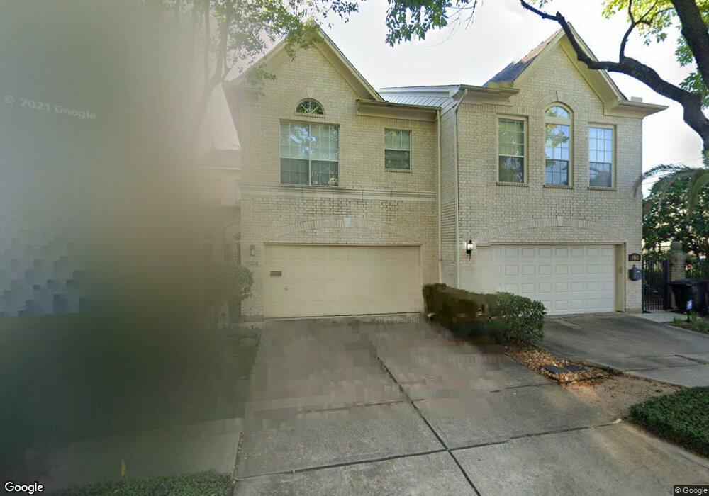
1502 Hazard St Houston, TX 77019
Montrose NeighborhoodEstimated Value: $679,337 - $887,000
About This Home
This home is located at 1502 Hazard St, Houston, TX 77019 and is currently estimated at $744,334, approximately $273 per square foot. 1502 Hazard St is a home located in Harris County with nearby schools including Baker Montessori, Lanier Middle School, and Lamar High School.
Ownership History
We collect this data history from publicly available records. To have your information removed, we recommend requesting removal directly through your county’s website.
Purchase Details
Purchase Details
Home Values in the Area
Average Home Value in this Area
Purchase History
We collect this data history from publicly available records. To have your information removed, we recommend requesting removal directly through your county’s website.
| Date | Buyer | Sale Price | Title Company |
|---|---|---|---|
| -- | None Available | ||
| -- | Citizens Title Company |
Tax History
We collect this data history from publicly available records. To have your information removed, we recommend requesting removal directly through your county’s website.
| Year | Tax Paid | Tax Assessment Tax Assessment Total Assessment is a certain percentage of the fair market value that is determined by local assessors to be the total taxable value of land and additions on the property. | Land | Improvement |
|---|---|---|---|---|
| 2025 | $10,411 | $683,489 | $412,500 | $270,989 |
| 2024 | $10,854 | $699,097 | $412,500 | $286,597 |
| 2023 | $10,854 | $722,884 | $412,500 | $310,384 |
| 2022 | $14,327 | $650,654 | $412,500 | $238,154 |
| 2021 | $14,173 | $612,720 | $393,750 | $218,970 |
| 2020 | $13,492 | $619,000 | $393,750 | $225,250 |
| 2019 | $12,817 | $506,500 | $200,000 | $306,500 |
| 2018 | $10,074 | $510,000 | $200,000 | $310,000 |
| 2017 | $13,533 | $510,000 | $200,000 | $310,000 |
| 2016 | $13,533 | $510,000 | $200,000 | $310,000 |
| 2015 | -- | $510,000 | $200,000 | $310,000 |
| 2014 | -- | $502,806 | $175,000 | $327,806 |
Map
- 1606 Hazard St
- 1614 Driscoll St
- 1601 S Shepherd Dr Unit 272
- 1601 S Shepherd Dr Unit 269
- 1601 S Shepherd Dr Unit 20
- 1601 S Shepherd Dr Unit 225
- 1601 S Shepherd Dr Unit 170
- 1601 S Shepherd Dr Unit 216
- 1601 S Shepherd Dr Unit 30
- 1601 S Shepherd Dr Unit 24
- 1601 S Shepherd Dr Unit 243
- 1201 McDuffie St Unit 192
- 1201 McDuffie St Unit 205
- 1609 Morse St
- 1606 Woodhead St
- 1806 McDuffie St
- 1810 Hazard St Unit A
- 1805 Brun St
- 1902 Driscoll St
- 1925 Haddon St
- 1504 Hazard St
- 1506 Hazard St
- 1508 Hazard St
- 1501 Mcduffie St
- 1501 Mcduffie St Unit 2
- 1503 Mcduffie St Unit UP 1503
- 1503 Mcduffie St
- 1507 Mcduffie St
- 1969 Peden St
- 1510 Hazard St
- 1505 Mcduffie St
- 1967 Peden St
- 1505A Mcduffie St
- 1965 Peden St
- 1514 Hazard St Unit B
- 1514 Hazard St Unit A
- 1514A Hazard St
- 1511 Mcduffie St
- 1961 Peden St
- 1513 Mcduffie St
Ask me questions while you tour the home.