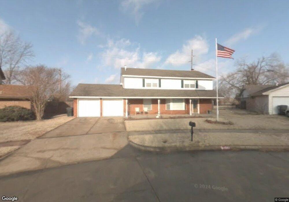
1502 Oakcliff Rd Norman, OK 73071
Southeast Norman NeighborhoodEstimated Value: $228,000 - $248,203
4
Beds
3
Baths
1,963
Sq Ft
$123/Sq Ft
Est. Value
About This Home
This home is located at 1502 Oakcliff Rd, Norman, OK 73071 and is currently estimated at $241,051, approximately $122 per square foot. 1502 Oakcliff Rd is a home located in Cleveland County with nearby schools including Kennedy Elementary School, Irving Middle School, and Norman High School.
Ownership History
Date
Name
Owned For
Owner Type
Purchase Details
Closed on
Apr 17, 2020
Sold by
Delaughter Sandra Kay and Delaughter James R
Bought by
Delaughter Michael
Current Estimated Value
Home Financials for this Owner
Home Financials are based on the most recent Mortgage that was taken out on this home.
Original Mortgage
$155,000
Outstanding Balance
$135,560
Interest Rate
3.2%
Mortgage Type
VA
Estimated Equity
$105,491
Create a Home Valuation Report for This Property
The Home Valuation Report is an in-depth analysis detailing your home's value as well as a comparison with similar homes in the area
Home Values in the Area
Average Home Value in this Area
Purchase History
| Date | Buyer | Sale Price | Title Company |
|---|---|---|---|
| Delaughter Michael | $155,000 | Old Republic Title Co Of Ok |
Source: Public Records
Mortgage History
| Date | Status | Borrower | Loan Amount |
|---|---|---|---|
| Open | Delaughter Michael | $155,000 |
Source: Public Records
Tax History
| Year | Tax Paid | Tax Assessment Tax Assessment Total Assessment is a certain percentage of the fair market value that is determined by local assessors to be the total taxable value of land and additions on the property. | Land | Improvement |
|---|---|---|---|---|
| 2025 | -- | $19,553 | $3,388 | $16,165 |
| 2024 | -- | $18,105 | $3,463 | $14,642 |
| 2023 | $0 | $17,578 | $3,377 | $14,201 |
| 2022 | $0 | $17,066 | $2,400 | $14,666 |
| 2021 | $2,072 | $17,066 | $2,400 | $14,666 |
| 2020 | $1,521 | $13,587 | $2,400 | $11,187 |
| 2019 | $1,521 | $13,587 | $2,400 | $11,187 |
| 2018 | $1,475 | $13,588 | $2,400 | $11,188 |
| 2017 | $1,491 | $13,588 | $0 | $0 |
| 2016 | $1,515 | $13,588 | $2,400 | $11,188 |
| 2015 | $1,484 | $13,702 | $2,514 | $11,188 |
| 2014 | $1,498 | $13,702 | $2,514 | $11,188 |
Source: Public Records
Map
Nearby Homes
- 1708 Creekside Ct
- 1301 Whippoorwill Dr
- 1924 Burnt Oak St
- 1515 Oakhurst Ave
- 3810 Muir Forest Way
- 2125 Allenhurst St
- 1711 E Lindsey St Unit 3
- 1723 E Lindsey St Unit 2
- 1723 E Lindsey St Unit 4
- 1715 E Lindsey St Unit 2
- 1827 E Lindsey St Unit 3
- 2007 Oakhurst Ave
- 1701 Sumac Dr
- 1 E Lindsey St
- 1600 Hazelwood Dr
- 1943 Wolford Way
- 2005 Wolford Way
- 2009 Wolford Way
- 2013 Wolford Way
- 2017 Wolford Way
- 1801 Burnt Oak St
- 1508 Oakcliff Rd
- 1804 Burnt Oak St
- 1805 Burnt Oak St
- 1514 Oakcliff Rd
- 1545 Tree Line Dr
- 1755 Concord Dr
- 1541 Tree Line Dr
- 1800 Elmhurst Dr
- 1801 Parkridge Dr
- 1430 Whippoorwill Dr
- 1809 Burnt Oak St
- 1810 Burnt Oak St
- 1728 Windchime Dr
- 1805 Parkridge Dr
- 1751 Concord Dr
- 1520 Oakcliff Rd
- 1803 Oakhill Dr
- 1537 Tree Line Dr
- 1724 Windchime Dr
Your Personal Tour Guide
Ask me questions while you tour the home.