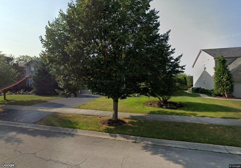
15021 Austin Dr Lockport, IL 60441
South Homer Glen NeighborhoodEstimated Value: $499,507 - $634,000
4
Beds
3
Baths
3,223
Sq Ft
$177/Sq Ft
Est. Value
About This Home
This home is located at 15021 Austin Dr, Lockport, IL 60441 and is currently estimated at $568,877, approximately $176 per square foot. 15021 Austin Dr is a home located in Will County with nearby schools including William J. Butler, Hadley Middle School, and Homer Jr High School.
Ownership History
Date
Name
Owned For
Owner Type
Purchase Details
Closed on
Dec 21, 2005
Sold by
Pulte Homes
Bought by
Bird Kevin D and Ramirez Bird Cynthia L
Current Estimated Value
Home Financials for this Owner
Home Financials are based on the most recent Mortgage that was taken out on this home.
Original Mortgage
$283,525
Interest Rate
6.4%
Mortgage Type
Fannie Mae Freddie Mac
Create a Home Valuation Report for This Property
The Home Valuation Report is an in-depth analysis detailing your home's value as well as a comparison with similar homes in the area
Home Values in the Area
Average Home Value in this Area
Purchase History
| Date | Buyer | Sale Price | Title Company |
|---|---|---|---|
| Bird Kevin D | $399,000 | Pmt |
Source: Public Records
Mortgage History
| Date | Status | Borrower | Loan Amount |
|---|---|---|---|
| Previous Owner | Bird Kevin D | $283,525 |
Source: Public Records
Tax History
| Year | Tax Paid | Tax Assessment Tax Assessment Total Assessment is a certain percentage of the fair market value that is determined by local assessors to be the total taxable value of land and additions on the property. | Land | Improvement |
|---|---|---|---|---|
| 2024 | $14,454 | $173,968 | $24,074 | $149,894 |
| 2023 | $14,454 | $157,694 | $21,822 | $135,872 |
| 2022 | $13,899 | $147,240 | $20,375 | $126,865 |
| 2021 | $12,629 | $139,498 | $19,304 | $120,194 |
| 2020 | $12,583 | $134,366 | $18,594 | $115,772 |
| 2019 | $12,219 | $129,260 | $17,887 | $111,373 |
| 2018 | $11,877 | $124,571 | $17,682 | $106,889 |
| 2017 | $11,674 | $121,084 | $17,187 | $103,897 |
| 2016 | $11,422 | $117,046 | $16,614 | $100,432 |
| 2015 | $11,117 | $112,652 | $15,990 | $96,662 |
| 2014 | $11,117 | $110,325 | $15,660 | $94,665 |
| 2013 | $11,117 | $110,325 | $15,660 | $94,665 |
Source: Public Records
Map
Nearby Homes
- 17305 Sprucewood Dr
- 17337 Sprucewood Dr
- 17350 Victoria Ln
- 17350 S Victoria Ln
- 17343 S Sprucewood Dr
- 17354 S Victoria Ln
- 17349 S Sprucewood Dr
- 17360 S Victoria Ln
- 17355 S Sprucewood Dr
- 17429 S Victoria Ln
- 17430 Victoria Ln
- 15461 W Amelia Cir
- 15461 Amelia Cir
- 15459 Amelia Cir
- 15455 W Amelia Cir
- 17431 S Victoria Ln
- 15453 Amelia Cir
- 17356 S Sprucewood Dr
- 15443 W Amelia Cir
- 15443 Amelia Cir
- 15025 Austin Dr
- 15011 Austin Dr
- 15035 Austin Dr
- 15003 Austin Dr
- 15024 Austin Dr
- 15016 Austin Dr
- 15030 Austin Dr Unit 1
- 15043 Austin Dr
- 14965 Austin Dr
- 15008 Austin Dr
- 15038 Austin Dr
- 15051 Austin Dr
- 14957 Austin Dr
- 15048 Austin Dr
- 14966 Austin Dr
- 15017 Albright Ct
- 15025 Albright Ct
- 15029 Albright Dr
- 15057 Austin Dr
- 15037 Albright Dr Unit 2
Your Personal Tour Guide
Ask me questions while you tour the home.