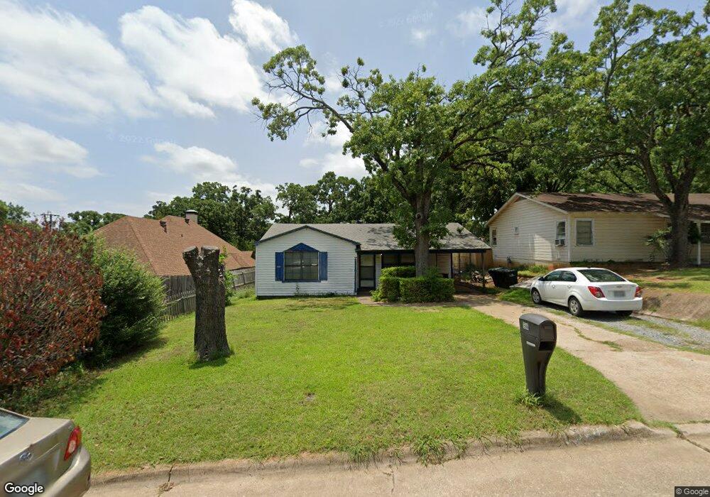
1506 W Munson St Denison, TX 75020
Estimated Value: $150,505 - $151,000
About This Home
This home is located at 1506 W Munson St, Denison, TX 75020 and is currently estimated at $150,753, approximately $130 per square foot. 1506 W Munson St is a home located in Grayson County with nearby schools including Houston Elementary School, Scott Middle School, and Denison High School.
Ownership History
We collect this data history from publicly available records. To have your information removed, we recommend requesting removal directly through your county’s website.
Purchase Details
Home Financials for this Owner
Home Financials are based on the most recent Mortgage that was taken out on this home.Purchase Details
Home Financials for this Owner
Home Financials are based on the most recent Mortgage that was taken out on this home.Home Values in the Area
Average Home Value in this Area
Purchase History
We collect this data history from publicly available records. To have your information removed, we recommend requesting removal directly through your county’s website.
| Date | Buyer | Sale Price | Title Company |
|---|---|---|---|
| -- | -- | ||
| -- | -- |
Mortgage History
We collect this data history from publicly available records. To have your information removed, we recommend requesting removal directly through your county’s website.
| Date | Status | Borrower | Loan Amount |
|---|---|---|---|
| Open | $65,000 | ||
| Previous Owner | $31,500 |
Tax History
We collect this data history from publicly available records. To have your information removed, we recommend requesting removal directly through your county’s website.
| Year | Tax Paid | Tax Assessment Tax Assessment Total Assessment is a certain percentage of the fair market value that is determined by local assessors to be the total taxable value of land and additions on the property. | Land | Improvement |
|---|---|---|---|---|
| 2025 | $1,695 | $136,195 | $41,168 | $95,027 |
| 2024 | $2,939 | $126,490 | $0 | $0 |
| 2023 | $1,357 | $114,991 | $0 | $0 |
| 2022 | $2,484 | $104,537 | $0 | $0 |
| 2021 | $2,397 | $95,034 | $16,913 | $78,121 |
| 2020 | $2,320 | $97,176 | $16,913 | $80,263 |
| 2019 | $2,200 | $97,819 | $16,913 | $80,906 |
| 2018 | $2,016 | $81,988 | $13,860 | $68,128 |
| 2017 | $1,849 | $73,879 | $10,973 | $62,906 |
| 2016 | $1,681 | $60,071 | $10,968 | $49,103 |
| 2015 | $1,264 | $60,095 | $10,968 | $49,127 |
| 2014 | $1,401 | $59,616 | $10,968 | $48,648 |
Map
- 930 S Maurice Ave
- 828 S Maurice Ave
- 1528 W Day St
- 1021 S Fairbanks Ave
- 919 S French Ave
- 1425 W Shepherd St
- 1730 W Hull St
- 607 S Brown Ave
- 901 Old State Ln
- 1230 Ivey Dr
- 1105 W Hull St
- 1319 W Morgan St
- 606 Queens Rd
- 1028 W Day St
- 0000 S Lang Ave
- 1224 S Lang Ave
- 1029 W Shepherd St
- 1326 W Crawford St
- 1127 W Morgan St
- 1223 W Owing St
- 1510 W Munson St
- 901 S Maurice Ave
- 1514 W Munson St
- 1501 W Hull St
- 1501 W Munson St
- 1517 W Munson St
- 1519 W Munson St
- 900 S Maurice Ave
- 900 S Fairbanks Ave
- 1523 W Munson St
- 920 S Fairbanks Ave
- 820 S Fairbanks Ave
- 1504 W Day St
- 1512 W Day St
- 1500 W Day St
- 1526 W Day St
- 1506 W Hull St
- 1504 W Hull St
- 1512 W Hull St
- 1500 W Hull St
Ask me questions while you tour the home.