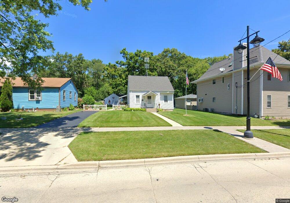
1508 7th St Winthrop Harbor, IL 60096
Estimated Value: $212,963 - $232,000
About This Home
This home is located at 1508 7th St, Winthrop Harbor, IL 60096 and is currently estimated at $222,741, approximately $257 per square foot. 1508 7th St is a home located in Lake County with nearby schools including Westfield School, North Prairie Junior High School, and Zion-Benton Township High School.
Ownership History
We collect this data history from publicly available records. To have your information removed, we recommend requesting removal directly through your county’s website.
Purchase Details
Home Financials for this Owner
Home Financials are based on the most recent Mortgage that was taken out on this home.Home Values in the Area
Average Home Value in this Area
Purchase History
We collect this data history from publicly available records. To have your information removed, we recommend requesting removal directly through your county’s website.
| Date | Buyer | Sale Price | Title Company |
|---|---|---|---|
| $86,500 | -- |
Mortgage History
We collect this data history from publicly available records. To have your information removed, we recommend requesting removal directly through your county’s website.
| Date | Status | Borrower | Loan Amount |
|---|---|---|---|
| Closed | $85,992 |
Tax History
We collect this data history from publicly available records. To have your information removed, we recommend requesting removal directly through your county’s website.
| Year | Tax Paid | Tax Assessment Tax Assessment Total Assessment is a certain percentage of the fair market value that is determined by local assessors to be the total taxable value of land and additions on the property. | Land | Improvement |
|---|---|---|---|---|
| 2025 | $3,205 | $54,611 | $6,614 | $47,997 |
| 2024 | $2,663 | $49,828 | $6,035 | $43,793 |
| 2023 | $3,125 | $42,844 | $5,826 | $37,018 |
| 2022 | $3,125 | $41,558 | $5,690 | $35,868 |
| 2021 | $2,613 | $35,679 | $5,545 | $30,134 |
| 2020 | $2,475 | $34,049 | $5,292 | $28,757 |
| 2019 | $2,962 | $32,305 | $5,021 | $27,284 |
| 2018 | $3,012 | $32,859 | $5,985 | $26,874 |
| 2017 | $2,968 | $30,911 | $5,630 | $25,281 |
| 2016 | $2,854 | $29,428 | $5,360 | $24,068 |
| 2015 | $2,736 | $29,473 | $4,916 | $24,557 |
| 2014 | $2,565 | $26,301 | $6,482 | $19,819 |
| 2012 | $3,280 | $32,542 | $6,736 | $25,806 |
Map
- 630 Whitney Ave
- 707 Kirkwood Ave
- 735 Kirkwood Ave
- 2109 7th St
- 1038 Landon Ave
- 231 Oakdale Ave
- 535 Garnett Ave
- 411 Thompson Ave
- 1222 Park Ave
- 0 Garnett Ave
- 1244 Park Ave
- 2703 11th St
- 1715 14th St
- 1400 Sheridan Rd
- 0 14th St Unit MRD12620767
- 1206 Monroe Ave
- 0 13th St Unit MRD12569828
- 9743 W 16th St
- 12212 Sheridan Rd
- 3106 13th St
Ask me questions while you tour the home.