15081 Carson Rd Mount Vernon, OH 43050
Estimated Value: $333,000 - $562,000
About This Home
This home is located at 15081 Carson Rd, Mount Vernon, OH 43050 and is currently estimated at $437,834, approximately $96 per square foot. 15081 Carson Rd is a home located in Knox County with nearby schools including Mount Vernon High School and Mount Vernon Sda Elementary School.
Ownership History
We collect this data history from publicly available records. To have your information removed, we recommend requesting removal directly through your county’s website.
Purchase Details
Home Financials for this Owner
Home Financials are based on the most recent Mortgage that was taken out on this home.Purchase Details
Home Financials for this Owner
Home Financials are based on the most recent Mortgage that was taken out on this home.Purchase Details
Purchase History
We collect this data history from publicly available records. To have your information removed, we recommend requesting removal directly through your county’s website.
| Date | Buyer | Sale Price | Title Company |
|---|---|---|---|
| $250,000 | None Available | ||
| -- | None Available | ||
| -- | -- |
Mortgage History
We collect this data history from publicly available records. To have your information removed, we recommend requesting removal directly through your county’s website.
| Date | Status | Borrower | Loan Amount |
|---|---|---|---|
| Closed | $225,000 | ||
| Closed | $116,000 | ||
| Closed | $102,600 | ||
| Closed | $105,000 |
Tax History
We collect this data history from publicly available records. To have your information removed, we recommend requesting removal directly through your county’s website.
| Year | Tax Paid | Tax Assessment Tax Assessment Total Assessment is a certain percentage of the fair market value that is determined by local assessors to be the total taxable value of land and additions on the property. | Land | Improvement |
|---|---|---|---|---|
| 2025 | $6,419 | $152,180 | $105,760 | $46,420 |
| 2024 | $6,419 | $152,180 | $105,760 | $46,420 |
| 2023 | $6,555 | $152,180 | $105,760 | $46,420 |
| 2022 | $4,499 | $104,950 | $72,940 | $32,010 |
| 2021 | $4,499 | $104,950 | $72,940 | $32,010 |
| 2020 | $4,390 | $104,950 | $72,940 | $32,010 |
| 2019 | $3,998 | $90,110 | $58,840 | $31,270 |
| 2018 | $4,003 | $90,110 | $58,840 | $31,270 |
| 2017 | $3,941 | $90,110 | $58,840 | $31,270 |
| 2016 | $3,395 | $78,350 | $51,160 | $27,190 |
| 2015 | $3,408 | $78,350 | $51,160 | $27,190 |
| 2014 | $3,424 | $78,350 | $51,160 | $27,190 |
| 2013 | $3,563 | $79,140 | $48,410 | $30,730 |
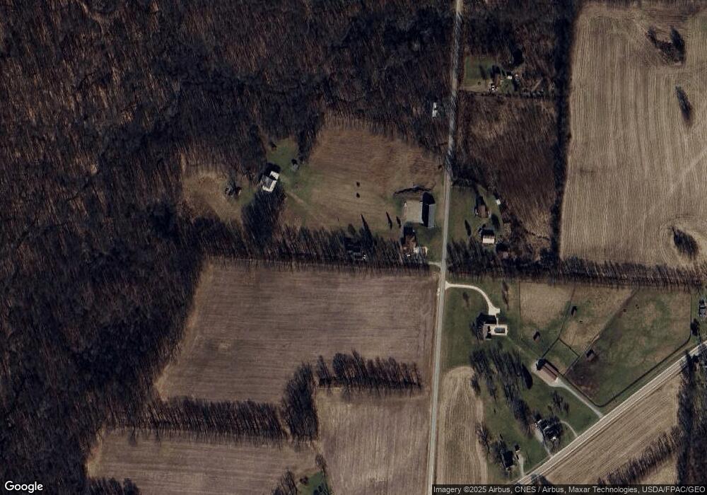
Map
- 15692 Carson Rd
- 1.17 Acres Wooster Rd
- 13999 Wooster Rd
- 14281 N Liberty Rd
- 17970 Scott Rd
- 17100 N Liberty Rd
- 15724 Sherri Rd
- 12627 Upper Gilchrist Rd
- 0 Crooked St
- 17536 Carson Rd
- 13739 Old Mansfield Rd
- 0 Indian Hills Rd
- 208 Plymouth Rd
- 532 Wooster Rd
- 13399 Old Mansfield Rd
- 0 Crooked Street Land Split 2
- 13232 Mansfield Rd
- 13232 Old Mansfield Rd
- 125 Morris St
- 13699 Vincent Rd
- 15101 Carson Rd
- 15191 Carson Rd
- 15132 Carson Rd
- 15240 Carson Rd
- 15310 Carson Rd
- 15340 Carson Rd
- 15421 Carson Rd
- 14919 Wooster Rd
- 15420 Carson Rd
- 14764 Wooster Rd
- 15473 Carson Rd
- 15019 Wooster Rd
- 14676 Wooster Rd
- 15010 Wooster Rd
- 15027 Wooster Rd
- 15035 Wooster Rd
- 15472 Carson Rd
- 15043 Wooster Rd
- 14702 Wooster Rd
- Lot 8 Burgess Dr
Ask me questions while you tour the home.