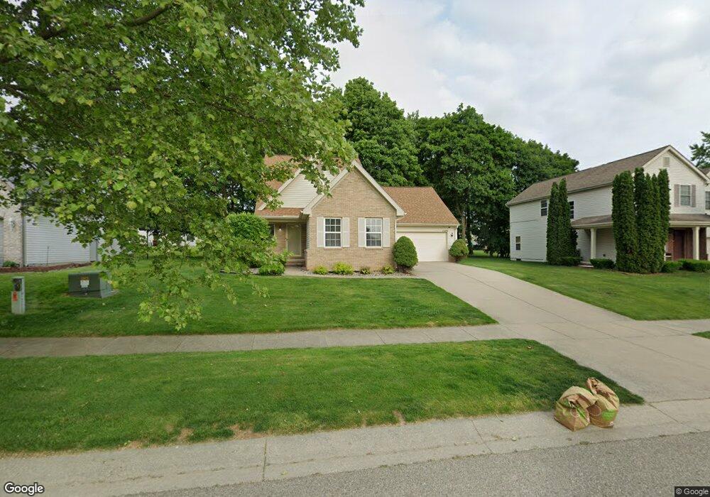
1509 Loyola Dr Flint, MI 48503
Downtown Flint NeighborhoodEstimated Value: $149,000 - $215,000
About This Home
This home is located at 1509 Loyola Dr, Flint, MI 48503 and is currently estimated at $194,485, approximately $104 per square foot. 1509 Loyola Dr is a home located in Genesee County with nearby schools including Doyle/Ryder School, Flint Cultural Center Academy High School, and Flint Cultural Center Academy.
Ownership History
We collect this data history from publicly available records. To have your information removed, we recommend requesting removal directly through your county’s website.
Purchase Details
Home Financials for this Owner
Home Financials are based on the most recent Mortgage that was taken out on this home.Home Values in the Area
Average Home Value in this Area
Purchase History
We collect this data history from publicly available records. To have your information removed, we recommend requesting removal directly through your county’s website.
| Date | Buyer | Sale Price | Title Company |
|---|---|---|---|
| $161,420 | -- |
Mortgage History
We collect this data history from publicly available records. To have your information removed, we recommend requesting removal directly through your county’s website.
| Date | Status | Borrower | Loan Amount |
|---|---|---|---|
| Open | $40,500 | ||
| Previous Owner | $124,920 |
Tax History
We collect this data history from publicly available records. To have your information removed, we recommend requesting removal directly through your county’s website.
| Year | Tax Paid | Tax Assessment Tax Assessment Total Assessment is a certain percentage of the fair market value that is determined by local assessors to be the total taxable value of land and additions on the property. | Land | Improvement |
|---|---|---|---|---|
| 2025 | $2,300 | $88,500 | $0 | $0 |
| 2024 | $2,257 | $80,000 | $0 | $0 |
| 2023 | $2,186 | $75,300 | $0 | $0 |
| 2022 | $0 | $66,100 | $0 | $0 |
| 2021 | $2,308 | $63,200 | $0 | $0 |
| 2020 | $2,027 | $48,300 | $0 | $0 |
| 2019 | $2,009 | $36,900 | $0 | $0 |
| 2018 | $2,059 | $35,600 | $0 | $0 |
| 2017 | $2,071 | $0 | $0 | $0 |
| 2016 | $2,116 | $0 | $0 | $0 |
| 2015 | -- | $0 | $0 | $0 |
| 2014 | -- | $0 | $0 | $0 |
| 2012 | -- | $39,900 | $0 | $0 |
Map
- 1501 Vanderbilt Dr
- 1706 Wilberforce Cir
- 1710 Wilberforce Cir
- 604 Page St
- 1214 Root St
- 470 E Wood St
- 575 Louisa St
- 310 Crosby St
- 1241 E Hamilton Ave
- 420 E Dayton St
- 2134 Martin Luther King Ave
- 1545 Martin Luther King Ave
- 1273 Broadway Blvd
- 1606 Garland St
- 630 E Dartmouth St
- 1383 Cleveland Ave
- 1644 Mason St
- 1410 Indiana Ave
- 1007 Decker St
- 114 W Hamilton Ave
- 1513 Loyola Dr
- 742 Spellman Dr
- 738 Spellman Dr
- 734 Spellman Dr
- 1510 Loyola Ln
- 1505 Loyola Dr
- 717 Loyola Ln
- 1506 Loyola Ln
- 730 Spellman Dr
- 1501 Loyola Dr
- 726 Spellman Dr
- 1502 Loyola Ln
- 1517 Vanderbilt Dr
- 713 Loyola Ln
- 1513 Vanderbilt Dr
- 1521 Vanderbilt Dr
- 729 Spellman Dr
- 1509 Vanderbilt Dr
- 725 Spellman Dr
- 1525 Vanderbilt Dr
Ask me questions while you tour the home.