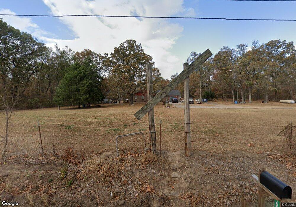
15092 Highway 82c Hulbert, OK 74441
Estimated Value: $160,961 - $266,000
3
Beds
2
Baths
1,674
Sq Ft
$128/Sq Ft
Est. Value
About This Home
This home is located at 15092 Highway 82c, Hulbert, OK 74441 and is currently estimated at $214,240, approximately $127 per square foot. 15092 Highway 82c is a home located in Cherokee County with nearby schools including Peggs Public School.
Ownership History
Date
Name
Owned For
Owner Type
Purchase Details
Closed on
Jan 10, 2020
Sold by
Enkey Billy Claude and Enkey Nancy Jo
Bought by
Enkey Corin and Enkey Rebecca
Current Estimated Value
Home Financials for this Owner
Home Financials are based on the most recent Mortgage that was taken out on this home.
Original Mortgage
$69,020
Interest Rate
3.6%
Mortgage Type
FHA
Purchase Details
Closed on
Jan 24, 2013
Sold by
Enkey Brigham Elias and Enkey Carol Marie
Bought by
Enkey Corin and Enkey Rebecca
Create a Home Valuation Report for This Property
The Home Valuation Report is an in-depth analysis detailing your home's value as well as a comparison with similar homes in the area
Purchase History
We collect this data history from publicly available records. To have your information removed, we recommend requesting removal directly through your county’s website.
| Date | Buyer | Sale Price | Title Company |
|---|---|---|---|
| Enkey Corin | -- | None Available | |
| Enkey Corin | -- | None Available |
Source: Public Records
Mortgage History
We collect this data history from publicly available records. To have your information removed, we recommend requesting removal directly through your county’s website.
| Date | Status | Borrower | Loan Amount |
|---|---|---|---|
| Closed | Enkey Corin | $69,020 |
Source: Public Records
Tax History
| Year | Tax Paid | Tax Assessment Tax Assessment Total Assessment is a certain percentage of the fair market value that is determined by local assessors to be the total taxable value of land and additions on the property. | Land | Improvement |
|---|---|---|---|---|
| 2025 | $642 | $10,001 | $356 | $9,645 |
| 2024 | $622 | $9,710 | $356 | $9,354 |
| 2023 | $622 | $9,427 | $356 | $9,071 |
| 2022 | $582 | $9,153 | $398 | $8,755 |
| 2021 | $563 | $8,886 | $386 | $8,500 |
| 2020 | $544 | $8,628 | $375 | $8,253 |
| 2019 | $527 | $8,377 | $364 | $8,013 |
| 2018 | $509 | $8,132 | $353 | $7,779 |
| 2017 | $492 | $7,895 | $356 | $7,539 |
| 2016 | $488 | $7,836 | $297 | $7,539 |
| 2015 | $608 | $9,748 | $356 | $9,392 |
| 2014 | $608 | $9,748 | $356 | $9,392 |
Source: Public Records
Map
Nearby Homes
- 7700 N 485 Rd
- 9357 N 547 Rd
- 11838 E 650 Rd
- 9754 N 510 Rd
- 000 N 510 Rd
- 17413 E 626 Rd
- 8062 Highway 82a
- 17902 E 688 Rd
- 12990 W Killabrew Rd
- 12112 W 690 Rd
- 16115 E 615 Rd
- 0 E 630 Rd Unit 2551216
- 18756 E 690 Rd
- 11457 N 510 Rd
- 11832 Highway 82a
- 00000 E 660 Rd
- 4080 N 495 Rd
- 20564 E Dixie Pkwy
- 4100 N 430 Rd
- 13070 Windchester Dr
- 14972 Highway 82c
- 14931 Highway 82c
- 14853 Highway 82c
- 15365 Highway 82c
- 14739 Highway 82c
- 15464 Highway 82c
- 14689 Highway 82c
- 7741 N 485 Rd
- 7656 N 485 Rd
- 15638 Highway 82c
- 8054 N 490 Rd
- 15714 Highway 82c
- 14243 Highway 82c
- 15872 Highway 82c
- 15872 Hwy 82 C
- 8953 N 490 Rd
- 15555 Highway 82c
- 7342 N 485 Rd
- 16141 Highway 82c
- 8326 N 496 Rd
Your Personal Tour Guide
Ask me questions while you tour the home.