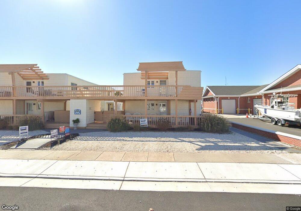
151 95th St Unit 1 Stone Harbor, NJ 08247
Estimated Value: $778,086 - $1,155,000
Studio
--
Bath
689
Sq Ft
$1,330/Sq Ft
Est. Value
About This Home
This home is located at 151 95th St Unit 1, Stone Harbor, NJ 08247 and is currently estimated at $916,522, approximately $1,330 per square foot. 151 95th St Unit 1 is a home located in Cape May County with nearby schools including Stone Harbor Elementary School.
Ownership History
Date
Name
Owned For
Owner Type
Purchase Details
Closed on
Aug 30, 2013
Sold by
Cole Edwin M and Cole Janet M
Bought by
Anderson Ii Philip D and Anderson Kathleen A
Current Estimated Value
Home Financials for this Owner
Home Financials are based on the most recent Mortgage that was taken out on this home.
Original Mortgage
$288,750
Outstanding Balance
$215,730
Interest Rate
4.43%
Mortgage Type
New Conventional
Estimated Equity
$700,792
Purchase Details
Closed on
Nov 27, 2004
Sold by
Perate Neil F and Perate Tracy L
Bought by
Cole Edwin M and Cole Janet M
Home Financials for this Owner
Home Financials are based on the most recent Mortgage that was taken out on this home.
Original Mortgage
$484,000
Interest Rate
3.94%
Mortgage Type
Purchase Money Mortgage
Purchase Details
Closed on
Aug 31, 2002
Sold by
Web 24 Llc
Bought by
Perate Neil F and Derr Tracy L
Home Financials for this Owner
Home Financials are based on the most recent Mortgage that was taken out on this home.
Original Mortgage
$260,000
Interest Rate
6.39%
Purchase Details
Closed on
Mar 4, 1995
Sold by
Vanvanwagenen George Van
Bought by
Binder Jeffrey A and Binder Gail S
Create a Home Valuation Report for This Property
The Home Valuation Report is an in-depth analysis detailing your home's value as well as a comparison with similar homes in the area
Home Values in the Area
Average Home Value in this Area
Purchase History
| Date | Buyer | Sale Price | Title Company |
|---|---|---|---|
| Anderson Ii Philip D | $385,000 | Shore Title Agency Inc | |
| Cole Edwin M | $605,000 | Title Alliance Of Cape May C | |
| Perate Neil F | $325,000 | -- | |
| Binder Jeffrey A | $132,250 | -- |
Source: Public Records
Mortgage History
| Date | Status | Borrower | Loan Amount |
|---|---|---|---|
| Open | Anderson Ii Philip D | $288,750 | |
| Closed | Anderson Ii Philip D | $38,500 | |
| Previous Owner | Cole Edwin M | $484,000 | |
| Previous Owner | Perate Neil F | $260,000 |
Source: Public Records
Tax History
| Year | Tax Paid | Tax Assessment Tax Assessment Total Assessment is a certain percentage of the fair market value that is determined by local assessors to be the total taxable value of land and additions on the property. | Land | Improvement |
|---|---|---|---|---|
| 2025 | $3,077 | $411,300 | $319,900 | $91,400 |
| 2024 | $3,077 | $411,300 | $319,900 | $91,400 |
Source: Public Records
Map
Nearby Homes
- 100 96th St Unit 304
- 9214 2nd Ave
- 164 93rd St
- 13 93rd St Unit 5
- 125 98th St
- 9816 2nd Ave Unit 17
- 166 99th St
- 10 92nd St Unit A
- 9903 2nd Ave
- 9301 3rd Ave Unit 2A
- 9301 3rd Ave Unit 1A
- 9301 3rd Ave Unit 2B
- 9301 3rd Ave Unit 2C
- 15 99th St Unit A
- 259 99th St
- 9102 3rd Ave
- 144 89th St
- 10108 1st Ave
- 11108 2nd Ave
- 252 89th St Unit E/S
- 151 95th St Unit 2
- 151 95th St Unit 8
- 151 95th St Unit 6
- 151 95th St Unit 3
- 151 95th St Unit 7
- 151 95th St Unit 4
- 151 95th St Unit 5
- 151 95th St Unit Garden House
- 162 96th St Unit 10
- 162 96th St Unit 3
- 162 96th St Unit 2
- 162 96th St Unit 9
- 162 96th St Unit 12
- 162 96th St Unit 13
- 162 96th St Unit 8
- 162 96th St Unit 1
- 162 96th St Unit 4
- 162 96th St Unit 15
- 162 96th St Unit 14
- 162 96th St Unit 11
Your Personal Tour Guide
Ask me questions while you tour the home.