151 Coal Ridge Ln Unit 155 Georgetown, KY 40324
Southeast Scott County NeighborhoodEstimated Value: $322,000 - $586,217
3
Beds
3
Baths
2,088
Sq Ft
$217/Sq Ft
Est. Value
About This Home
This home is located at 151 Coal Ridge Ln Unit 155, Georgetown, KY 40324 and is currently estimated at $453,804, approximately $217 per square foot. 151 Coal Ridge Ln Unit 155 is a home located in Scott County with nearby schools including Eastern Elementary School, Scott County Middle School, and Scott County High School.
Ownership History
Date
Name
Owned For
Owner Type
Purchase Details
Closed on
Oct 20, 2012
Sold by
Floyd James William Jarvie and Floyd James Winford
Bought by
Mitchell C L and Mitchell Betty
Current Estimated Value
Home Financials for this Owner
Home Financials are based on the most recent Mortgage that was taken out on this home.
Original Mortgage
$105,000
Outstanding Balance
$15,196
Interest Rate
3.42%
Mortgage Type
Unknown
Estimated Equity
$438,608
Create a Home Valuation Report for This Property
The Home Valuation Report is an in-depth analysis detailing your home's value as well as a comparison with similar homes in the area
Home Values in the Area
Average Home Value in this Area
Purchase History
| Date | Buyer | Sale Price | Title Company |
|---|---|---|---|
| Mitchell C L | $140,000 | None Available |
Source: Public Records
Mortgage History
| Date | Status | Borrower | Loan Amount |
|---|---|---|---|
| Open | Mitchell C L | $105,000 |
Source: Public Records
Tax History
| Year | Tax Paid | Tax Assessment Tax Assessment Total Assessment is a certain percentage of the fair market value that is determined by local assessors to be the total taxable value of land and additions on the property. | Land | Improvement |
|---|---|---|---|---|
| 2025 | $2,099 | $431,500 | $0 | $0 |
| 2024 | $2,099 | $356,400 | $0 | $0 |
| 2023 | $1,965 | $263,018 | $3,318 | $259,700 |
| 2022 | $1,728 | $243,701 | $2,801 | $240,900 |
| 2021 | $1,567 | $219,201 | $219,201 | $0 |
| 2020 | $1,507 | $214,732 | $2,532 | $212,200 |
| 2019 | $1,495 | $210,632 | $0 | $0 |
| 2018 | $1,482 | $208,332 | $0 | $0 |
| 2017 | $1,489 | $208,332 | $0 | $0 |
| 2016 | $1,374 | $207,503 | $0 | $0 |
| 2015 | $1,365 | $170,603 | $0 | $0 |
| 2014 | $1,239 | $162,119 | $0 | $0 |
| 2011 | $1,090 | $149,938 | $0 | $0 |
Source: Public Records
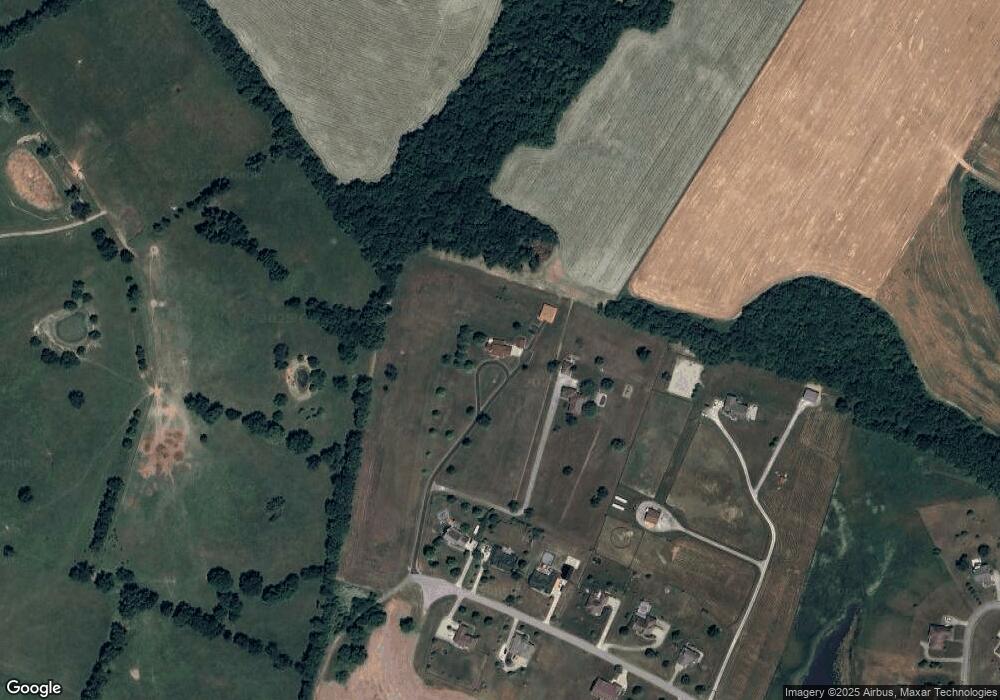
Map
Nearby Homes
- 126 Coal Ridge Ln
- 2019 Newtown Pike
- 102 Pemberley Cove Ln
- 110 Pemberley Cove Ln
- 1786 Newtown Pike
- 186 Whitley Way
- 181 Watercrest Way
- 256 Carrick Pike
- 3611 Paris Pike
- 179 Watercrest Way
- 144 Dunmore Ln
- 142 Dunmore Ln
- 136 Dunmore Ln
- 143 Dunmore Ln
- 139 Dunmore Ln
- 122 Dunmore Ln
- 283 Leesburg Rd
- 180 Oxford Landing Dr
- 178 Oxford Landing Dr
- 104 Dunmore Ln
- 153 Coal Ridge Ln
- 149 Coal Ridge Ln
- 147 Coal Ridge Ln
- 145 Coal Ridge Ln
- 145 Coal Ridge Ln Unit 1
- 137 Coal Ridge Ln
- 143 Coal Ridge Ln
- 148 Coal Ridge Ln
- 141 Coal Ridge Ln
- 146 Coal Ridge Ln
- 139 Coal Ridge Ln
- 142 Coal Ridge Ln
- 140 Coal Ridge Ln
- 138 Coal Ridge Ln
- 136 Coal Ridge Ln
- 123 Ridgeview Ln
- 119 Ridgeview Ln
- 125 Ridgeview Ln
- 127 Ridgeview Ln
- 118 Ridgeview Ln Unit 1
Your Personal Tour Guide
Ask me questions while you tour the home.