151 Davenport Rd Roxbury, CT 06783
Estimated Value: $1,012,000 - $1,227,000
3
Beds
4
Baths
2,681
Sq Ft
$414/Sq Ft
Est. Value
About This Home
This home is located at 151 Davenport Rd, Roxbury, CT 06783 and is currently estimated at $1,110,709, approximately $414 per square foot. 151 Davenport Rd is a home located in Litchfield County with nearby schools including Shepaug Valley School.
Ownership History
Date
Name
Owned For
Owner Type
Purchase Details
Closed on
Sep 8, 2022
Sold by
Cario William F
Bought by
William F Cario T F and William Cario
Current Estimated Value
Purchase Details
Closed on
Feb 4, 2020
Sold by
Cario Ana-Maria M
Bought by
Cario William F
Home Financials for this Owner
Home Financials are based on the most recent Mortgage that was taken out on this home.
Original Mortgage
$160,000
Interest Rate
3.4%
Mortgage Type
New Conventional
Purchase Details
Closed on
Mar 16, 2001
Sold by
Morash Fmly Lp
Bought by
Cario William and Cario Ana
Create a Home Valuation Report for This Property
The Home Valuation Report is an in-depth analysis detailing your home's value as well as a comparison with similar homes in the area
Home Values in the Area
Average Home Value in this Area
Purchase History
We collect this data history from publicly available records. To have your information removed, we recommend requesting removal directly through your county’s website.
| Date | Buyer | Sale Price | Title Company |
|---|---|---|---|
| William F Cario T F | -- | None Available | |
| William F Cario T F | -- | None Available | |
| Cario William F | -- | None Available | |
| Cario William F | -- | None Available | |
| Cario William | $110,000 | -- | |
| Cario William | $110,000 | -- |
Source: Public Records
Mortgage History
We collect this data history from publicly available records. To have your information removed, we recommend requesting removal directly through your county’s website.
| Date | Status | Borrower | Loan Amount |
|---|---|---|---|
| Previous Owner | Cario William F | $160,000 | |
| Previous Owner | Cario William | $120,000 |
Source: Public Records
Tax History
| Year | Tax Paid | Tax Assessment Tax Assessment Total Assessment is a certain percentage of the fair market value that is determined by local assessors to be the total taxable value of land and additions on the property. | Land | Improvement |
|---|---|---|---|---|
| 2025 | $5,667 | $435,960 | $129,080 | $306,880 |
| 2024 | $5,493 | $435,960 | $129,080 | $306,880 |
| 2023 | $6,354 | $504,280 | $160,580 | $343,700 |
| 2022 | $5,901 | $386,930 | $166,240 | $220,690 |
| 2021 | $5,959 | $386,930 | $166,240 | $220,690 |
| 2020 | $6,113 | $386,930 | $166,240 | $220,690 |
| 2019 | $6,133 | $386,930 | $166,240 | $220,690 |
| 2018 | $6,133 | $386,930 | $166,240 | $220,690 |
| 2017 | $5,814 | $409,420 | $169,030 | $240,390 |
| 2016 | $5,597 | $408,520 | $169,030 | $239,490 |
| 2015 | $5,597 | $408,520 | $169,030 | $239,490 |
| 2014 | $5,474 | $408,520 | $169,030 | $239,490 |
Source: Public Records
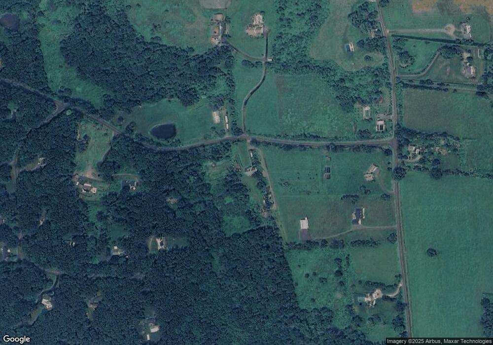
Map
Nearby Homes
- 137 Davenport Rd
- 16 Jonathan Dr
- 2 Pickett Rd
- 220 Painter Hill Rd
- 69 Moosehorn Rd
- 38 W Mountain Ln
- 1030 Washington Woodbury Rd
- 307 North St
- 56 Gold Mine Rd
- 315 North St
- 246 North St
- 0 Booth Rd
- 31 Holmes Rd
- 123 Cross Brook Rd
- 204 North St Unit Lot 3
- 242 Tophet Rd
- 49 South St
- 8 Bayberry Hill
- 33 Sentry Hill Rd
- 18 Curtis Rd
- 32 Jonathan Dr
- 31 Jonathan Dr
- 45 Painter Ridge Rd
- 35 Painter Ridge Rd
- 35 Painter Ridge Rd
- 141 Davenport Rd
- 30 Jonathan Dr
- LOT 6 Painter Ridge Rd
- 29 Jonathan Dr
- 51 Painter Ridge Rd
- 148 Davenport Rd
- 26 Jonathan Dr
- 135 Davenport Rd
- 65 Painter Ridge Rd
- 25 Jonathan Dr
- 13 Painter Ridge Rd
- 13 Painter Ridge Rd
- 37 Painter Ridge Rd
- 0 Painter Ridge Rd
- LOT 14 Pickett Rd
Your Personal Tour Guide
Ask me questions while you tour the home.