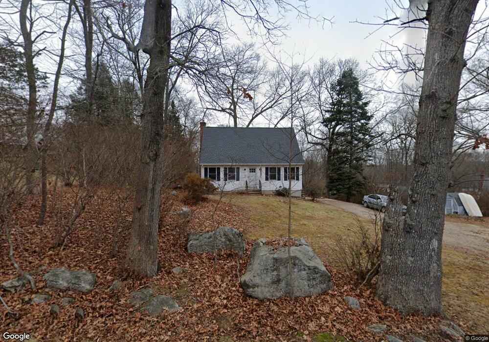
151 Hillcrest Dr Amston, CT 06231
Estimated Value: $340,000 - $403,128
4
Beds
2
Baths
1,346
Sq Ft
$278/Sq Ft
Est. Value
About This Home
This home is located at 151 Hillcrest Dr, Amston, CT 06231 and is currently estimated at $374,782, approximately $278 per square foot. 151 Hillcrest Dr is a home located in Tolland County with nearby schools including Gilead Hill School, Hebron Elementary School, and RHAM Middle School.
Ownership History
Date
Name
Owned For
Owner Type
Purchase Details
Closed on
Oct 1, 2003
Sold by
Vasquez Joanne
Bought by
Halleran Scott and Halleran Ellen
Current Estimated Value
Home Financials for this Owner
Home Financials are based on the most recent Mortgage that was taken out on this home.
Original Mortgage
$144,900
Interest Rate
6.25%
Purchase Details
Closed on
Oct 27, 1994
Sold by
Nicolo Carpentry Inc
Bought by
Bartlett Joanne Chase
Purchase Details
Closed on
Jul 21, 1994
Sold by
Norton Joan
Bought by
Carpentry B Nicolo
Create a Home Valuation Report for This Property
The Home Valuation Report is an in-depth analysis detailing your home's value as well as a comparison with similar homes in the area
Home Values in the Area
Average Home Value in this Area
Purchase History
| Date | Buyer | Sale Price | Title Company |
|---|---|---|---|
| Halleran Scott | $194,900 | -- | |
| Bartlett Joanne Chase | $114,400 | -- | |
| Carpentry B Nicolo | $21,000 | -- |
Source: Public Records
Mortgage History
| Date | Status | Borrower | Loan Amount |
|---|---|---|---|
| Open | Carpentry B Nicolo | $25,000 | |
| Open | Carpentry B Nicolo | $139,800 | |
| Closed | Carpentry B Nicolo | $144,900 | |
| Previous Owner | Carpentry B Nicolo | $110,400 |
Source: Public Records
Tax History
| Year | Tax Paid | Tax Assessment Tax Assessment Total Assessment is a certain percentage of the fair market value that is determined by local assessors to be the total taxable value of land and additions on the property. | Land | Improvement |
|---|---|---|---|---|
| 2025 | $5,577 | $151,340 | $48,020 | $103,320 |
| 2024 | $5,221 | $151,340 | $48,020 | $103,320 |
| 2023 | $4,974 | $149,870 | $48,020 | $101,850 |
| 2022 | $4,751 | $149,870 | $48,020 | $101,850 |
| 2021 | $4,901 | $134,910 | $44,430 | $90,480 |
| 2020 | $4,901 | $134,910 | $44,430 | $90,480 |
| 2019 | $4,998 | $134,910 | $44,430 | $90,480 |
| 2018 | $5,051 | $134,910 | $44,430 | $90,480 |
| 2017 | $4,992 | $134,910 | $44,430 | $90,480 |
| 2016 | $5,164 | $144,900 | $61,390 | $83,510 |
| 2015 | $5,216 | $144,900 | $61,390 | $83,510 |
| 2014 | $5,180 | $144,900 | $61,390 | $83,510 |
Source: Public Records
Map
Nearby Homes
- 21 Bass Lake Rd
- 2 Lots on Deepwood Dr
- 12 Rondaly Rd
- 282 Deepwood Dr
- 0 Deepwood Dr
- 485 Deepwood Dr
- 40 Hillcrest Dr
- 76 Park Rd
- 0 Wildwood Dr
- 0 Ryan Terrace Unit 24144446
- 75 Brindlewood Path
- 27 Greenwich Place
- 33 Northam Rd
- 31 Uncas Dr
- 231 Windham Ave
- 161 Lake Williams Dr
- 146 Lake Shore Dr
- 24 Center Ct Unit 24
- 5 Vicki Ln Unit 5
- 82 Lawrence Dr
- 42 Bass Lake Rd
- 48 Bass Lake Rd
- 14 Hillsdale Rd
- 143 Hillcrest Dr
- 45 Bass Lake Rd
- 139 Hillcrest Dr
- 17 Hillsdale Rd
- 152 Hillcrest Dr
- 148 Hillcrest Dr
- 35 Bass Lake Rd
- 142 Hillcrest Dr
- 8 Hillsdale Rd
- 51 Bass Lake Rd
- 34 Hillsdale Rd
- 138 Hillcrest Dr
- 39 Saint Ronan Rd
- 33 Hillsdale Rd
- 9 Hillsdale Rd
- 33 Bass Lake Rd
- 31 Saint Ronan Rd
Your Personal Tour Guide
Ask me questions while you tour the home.