151 Ocean Dr Unit 10D Baton Rouge, LA 70806
Mid City South NeighborhoodEstimated Value: $60,000 - $109,000
1
Bed
1
Bath
625
Sq Ft
$143/Sq Ft
Est. Value
About This Home
This home is located at 151 Ocean Dr Unit 10D, Baton Rouge, LA 70806 and is currently estimated at $89,637, approximately $143 per square foot. 151 Ocean Dr Unit 10D is a home located in East Baton Rouge Parish with nearby schools including LaSalle Elementary School, Westdale Middle School, and Tara High School.
Ownership History
Date
Name
Owned For
Owner Type
Purchase Details
Closed on
Dec 14, 2007
Sold by
Sonnier April S
Bought by
Landry Lisha C
Current Estimated Value
Home Financials for this Owner
Home Financials are based on the most recent Mortgage that was taken out on this home.
Original Mortgage
$72,500
Outstanding Balance
$44,626
Interest Rate
6.3%
Mortgage Type
New Conventional
Estimated Equity
$45,011
Purchase Details
Closed on
Nov 24, 1998
Sold by
Wright Lawrence Baxter and Wright Marian Montalbano
Bought by
Sonnier April Shay
Home Financials for this Owner
Home Financials are based on the most recent Mortgage that was taken out on this home.
Original Mortgage
$39,500
Interest Rate
6.46%
Mortgage Type
FHA
Create a Home Valuation Report for This Property
The Home Valuation Report is an in-depth analysis detailing your home's value as well as a comparison with similar homes in the area
Home Values in the Area
Average Home Value in this Area
Purchase History
We collect this data history from publicly available records. To have your information removed, we recommend requesting removal directly through your county’s website.
| Date | Buyer | Sale Price | Title Company |
|---|---|---|---|
| Landry Lisha C | $72,500 | -- | |
| Sonnier April Shay | -- | -- |
Source: Public Records
Mortgage History
We collect this data history from publicly available records. To have your information removed, we recommend requesting removal directly through your county’s website.
| Date | Status | Borrower | Loan Amount |
|---|---|---|---|
| Open | Landry Lisha C | $72,500 | |
| Previous Owner | Sonnier April Shay | $39,500 |
Source: Public Records
Tax History
| Year | Tax Paid | Tax Assessment Tax Assessment Total Assessment is a certain percentage of the fair market value that is determined by local assessors to be the total taxable value of land and additions on the property. | Land | Improvement |
|---|---|---|---|---|
| 2025 | $664 | $10,800 | $750 | $10,050 |
| 2024 | $664 | $10,800 | $750 | $10,050 |
| 2023 | $601 | $9,600 | $750 | $8,850 |
| 2022 | $1,271 | $9,600 | $750 | $8,850 |
| 2021 | $1,120 | $9,600 | $750 | $8,850 |
| 2020 | $1,113 | $9,600 | $750 | $8,850 |
| 2019 | $1,090 | $9,000 | $750 | $8,250 |
| 2018 | $1,077 | $9,000 | $750 | $8,250 |
| 2017 | $1,077 | $9,000 | $750 | $8,250 |
| 2016 | $272 | $9,000 | $750 | $8,250 |
| 2015 | $273 | $9,000 | $750 | $8,250 |
| 2014 | $273 | $9,000 | $750 | $8,250 |
| 2013 | -- | $9,000 | $750 | $8,250 |
Source: Public Records
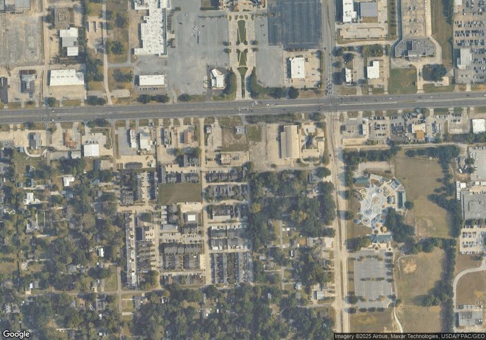
Map
Nearby Homes
- 7131 Winthrop Ave
- 366 Linda Ave
- 425 Riverlon Ave
- 419 Croydon Ave
- 428 Finchley Ave
- 7345 Government St
- 614 Goodridge Way
- 7037 Etage Ct
- 286 Kenwood Ave
- 7035 Government St
- 7250 Goodleaf Way
- 418 Kenwood Ave
- 643 Adelia Ln
- 605 Pierce Ave
- Lot 43 Adelia Ln
- 208 Bellewood Dr
- 716 Adelia Ln
- 723 Adelia Ln
- 675 Wooddale Blvd Unit 70
- 144 S Carrollton Ave
- 147 Ocean Dr Unit 9C
- 147 Ocean Dr Unit 9B
- 147 Ocean Dr Unit 7
- 147 Ocean Dr
- 149 Ocean Dr Unit 10A
- 149 Ocean Dr Unit 10C
- 149 Ocean Dr
- 149 Ocean Dr Unit 10B
- 145 Ocean Dr Unit 8A
- 145 Ocean Dr Unit 8B
- 145 Ocean Dr Unit 8C
- 145 Ocean Dr
- 165 Ocean Dr
- 171 Ocean Dr
- 163 Ocean Dr
- 161 Ocean Dr
- 175 Ocean Dr
- 159 Ocean Dr
- 157 Ocean Dr
- 155 Ocean Dr
Your Personal Tour Guide
Ask me questions while you tour the home.