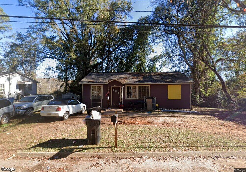
1510 5th Ave West Point, GA 31833
Estimated Value: $49,232 - $139,000
3
Beds
1
Bath
975
Sq Ft
$89/Sq Ft
Est. Value
About This Home
This home is located at 1510 5th Ave, West Point, GA 31833 and is currently estimated at $86,308, approximately $88 per square foot. 1510 5th Ave is a home located in Troup County with nearby schools including West Point Elementary School, Long Cane Elementary School, and Whitesville Road Elementary School.
Ownership History
Date
Name
Owned For
Owner Type
Purchase Details
Closed on
Jun 9, 2022
Sold by
Ferrell Micheline Renee
Bought by
Marin Carolyn Shermain
Current Estimated Value
Purchase Details
Closed on
Aug 26, 2008
Sold by
Gordon Barbara
Bought by
Ferrell Micheline Renee
Purchase Details
Closed on
Jul 19, 2007
Sold by
Clark James E
Bought by
Gordon Barbara
Purchase Details
Closed on
Sep 22, 1994
Sold by
Jewell W Clark
Bought by
James E Clark
Purchase Details
Closed on
Sep 19, 1994
Sold by
Jewell E Clark
Bought by
Jewell W Clark
Purchase Details
Closed on
Jan 1, 1972
Bought by
Jewell E Clark
Purchase Details
Closed on
Sep 8, 1965
Sold by
Miriam Robt and Miriam Perry
Create a Home Valuation Report for This Property
The Home Valuation Report is an in-depth analysis detailing your home's value as well as a comparison with similar homes in the area
Home Values in the Area
Average Home Value in this Area
Purchase History
| Date | Buyer | Sale Price | Title Company |
|---|---|---|---|
| Marin Carolyn Shermain | -- | -- | |
| Ferrell Micheline Renee | -- | -- | |
| Gordon Barbara | $30,000 | -- | |
| James E Clark | $47,700 | -- | |
| Jewell W Clark | -- | -- | |
| Jewell E Clark | $8,000 | -- | |
| -- | -- | -- |
Source: Public Records
Tax History
| Year | Tax Paid | Tax Assessment Tax Assessment Total Assessment is a certain percentage of the fair market value that is determined by local assessors to be the total taxable value of land and additions on the property. | Land | Improvement |
|---|---|---|---|---|
| 2025 | $403 | $11,560 | $2,040 | $9,520 |
| 2024 | $406 | $11,480 | $2,040 | $9,440 |
| 2023 | $325 | $11,920 | $2,040 | $9,880 |
| 2022 | $318 | $11,400 | $2,040 | $9,360 |
| 2021 | $415 | $13,760 | $1,080 | $12,680 |
| 2020 | $415 | $13,760 | $1,080 | $12,680 |
| 2019 | $393 | $13,040 | $1,080 | $11,960 |
| 2018 | $392 | $13,000 | $1,600 | $11,400 |
| 2017 | $392 | $13,000 | $1,600 | $11,400 |
| 2016 | $380 | $12,610 | $1,600 | $11,010 |
| 2015 | $366 | $12,104 | $1,094 | $11,010 |
| 2014 | $351 | $11,599 | $1,168 | $10,431 |
| 2013 | -- | $12,612 | $1,168 | $11,444 |
Source: Public Records
Map
Nearby Homes
- 1007 4th Ave
- 1508 N 4th Ave
- 403 N 15th St
- 712 4th Ave
- 1026 N 6th Ave
- 1903 Ridgewood Dr
- 1604 U S 29
- 1805 US Highway 29
- 911 N 12th St
- 1202 E 9th St
- 811 Cherry Dr
- 508 Pine St
- 900 E 9th St
- 514 N 8th Ave
- 707 E 7th St
- 0 Ga Highway 0116 Unit 10619139
- 506 E 6th St
- 302 N 6th Ave
- 1104 E 8th St
- 0 Arrowhead Dr Unit 10451860
Your Personal Tour Guide
Ask me questions while you tour the home.